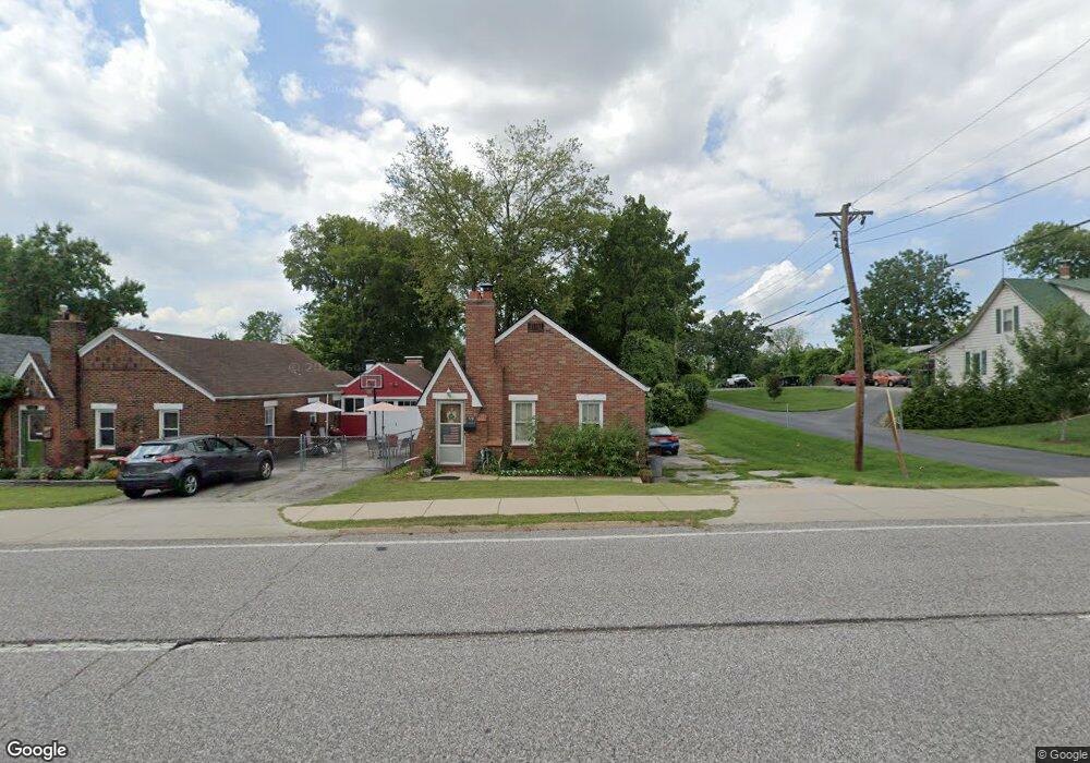
719 N Florissant Rd Saint Louis, MO 63135
Estimated Value: $92,180 - $101,000
2
Beds
1
Bath
896
Sq Ft
$106/Sq Ft
Est. Value
About This Home
This home is located at 719 N Florissant Rd, Saint Louis, MO 63135 and is currently estimated at $95,295, approximately $106 per square foot. 719 N Florissant Rd is a home located in St. Louis County with nearby schools including Ferguson Middle School, Johnson Wabash Elementary School, and McCluer High School.
Ownership History
Date
Name
Owned For
Owner Type
Purchase Details
Closed on
May 7, 1997
Sold by
Reiter and Shelly
Bought by
Hite Juliette D and Hite Andre W
Current Estimated Value
Home Financials for this Owner
Home Financials are based on the most recent Mortgage that was taken out on this home.
Original Mortgage
$34,400
Outstanding Balance
$4,777
Interest Rate
8.16%
Estimated Equity
$90,518
Create a Home Valuation Report for This Property
The Home Valuation Report is an in-depth analysis detailing your home's value as well as a comparison with similar homes in the area
Home Values in the Area
Average Home Value in this Area
Purchase History
| Date | Buyer | Sale Price | Title Company |
|---|---|---|---|
| Hite Juliette D | -- | -- |
Source: Public Records
Mortgage History
| Date | Status | Borrower | Loan Amount |
|---|---|---|---|
| Open | Hite Juliette D | $34,400 |
Source: Public Records
Tax History Compared to Growth
Tax History
| Year | Tax Paid | Tax Assessment Tax Assessment Total Assessment is a certain percentage of the fair market value that is determined by local assessors to be the total taxable value of land and additions on the property. | Land | Improvement |
|---|---|---|---|---|
| 2025 | $1,301 | $20,240 | $2,870 | $17,370 |
| 2024 | $1,301 | $17,860 | $2,580 | $15,280 |
| 2023 | $1,294 | $17,860 | $2,580 | $15,280 |
| 2022 | $1,190 | $14,290 | $3,310 | $10,980 |
| 2021 | $1,152 | $14,290 | $3,310 | $10,980 |
| 2020 | $988 | $10,970 | $2,720 | $8,250 |
| 2019 | $969 | $10,970 | $2,720 | $8,250 |
| 2018 | $845 | $8,500 | $2,340 | $6,160 |
| 2017 | $829 | $8,500 | $2,340 | $6,160 |
| 2016 | $921 | $9,330 | $2,340 | $6,990 |
| 2015 | $927 | $9,330 | $2,340 | $6,990 |
| 2014 | $1,080 | $10,790 | $1,880 | $8,910 |
Source: Public Records
Map
Nearby Homes
- 601 Chanslor Ave
- 614 January Ave
- 716 Nancy Place
- 222 Wooster Dr
- 439 Warford Ave
- 231 Wooster Dr
- 415 Warford Ave
- 127 Thoroughman Ave
- 15 Lake Pembroke Dr
- 111 Royal Ave
- 206 Thoroughman Ave
- 429 N Clay Ave
- 218 N Marguerite Ave
- 6 Sandringham Ln
- 138 N Marguerite Ave
- 324 Newell Dr
- 806 Rolwes Ave
- 16 White Dr
- 18 White Dr
- 6640 Thurston Ave
- 723 N Florissant Rd
- 705 N Florissant Rd
- 15 Lakeview Dr
- 1 Lakeview Dr
- 17 Lakeview Dr
- 727 N Florissant Rd
- 19 Lakeview Dr
- 724 N Florissant Rd
- 720 N Florissant Rd
- 407409 Marie Ave
- 21 Lakeview Dr
- 733 N Florissant Rd
- 740 N Florissant Rd
- 21 Lakeview Dr
- 722 N Florissant Rd
- 16 Lakeview Dr
- 718 N Florissant Rd
- 23 Lakeview Dr
- 742 N Florissant Rd
- 7 Lakeview Dr