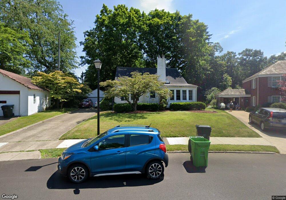
719 Phillips Rd NE Massillon, OH 44646
Sippo Heights NeighborhoodEstimated Value: $186,000 - $242,000
3
Beds
3
Baths
1,910
Sq Ft
$114/Sq Ft
Est. Value
About This Home
This home is located at 719 Phillips Rd NE, Massillon, OH 44646 and is currently estimated at $218,563, approximately $114 per square foot. 719 Phillips Rd NE is a home located in Stark County with nearby schools including Massillon Intermediate School, Massillon Junior High School, and Washington High School.
Ownership History
Date
Name
Owned For
Owner Type
Purchase Details
Closed on
Jan 25, 2000
Sold by
Wenger Elnora L
Bought by
The Svgs Bank & Trust Company
Current Estimated Value
Purchase Details
Closed on
Dec 16, 1999
Sold by
Estate Of William S Wenger
Bought by
Wenger Elnora L
Create a Home Valuation Report for This Property
The Home Valuation Report is an in-depth analysis detailing your home's value as well as a comparison with similar homes in the area
Home Values in the Area
Average Home Value in this Area
Purchase History
| Date | Buyer | Sale Price | Title Company |
|---|---|---|---|
| The Svgs Bank & Trust Company | -- | -- | |
| Wenger Elnora L | -- | -- |
Source: Public Records
Tax History
| Year | Tax Paid | Tax Assessment Tax Assessment Total Assessment is a certain percentage of the fair market value that is determined by local assessors to be the total taxable value of land and additions on the property. | Land | Improvement |
|---|---|---|---|---|
| 2025 | -- | $61,920 | $16,730 | $45,190 |
| 2024 | -- | $61,920 | $16,730 | $45,190 |
| 2023 | $2,281 | $44,590 | $14,350 | $30,240 |
| 2022 | $2,283 | $44,590 | $14,350 | $30,240 |
| 2021 | $2,320 | $44,590 | $14,350 | $30,240 |
| 2020 | $2,042 | $36,930 | $11,760 | $25,170 |
| 2019 | $2,013 | $36,930 | $11,760 | $25,170 |
Source: Public Records
Map
Nearby Homes
- 736 17th St NE
- 1621 Hobart Ave NE
- 1221 North Ave NE
- 216 Parkview St NE
- 885 Wales Rd NE
- 864 10th St NE
- 1846 Hankins Rd NE
- 849 Wellman Ave SE
- 2053 Ironwood Cir NE
- 959 9th St NE
- 104 6th St NE
- 223 20th St SE
- 528 Lincoln Way E
- 615 Wellman Ave SE
- 0 Connecticut Ave SE
- 739 Vogel Ave NE
- 215 21st St SE
- 275 20th St SE
- 1322 Springhill Ln NE
- 825 Oak Ave SE
- 723 Phillips Rd NE
- 435 16th St NE
- 709 Phillips Rd NE
- 1512 Marlyn Pkwy NE
- 429 16th St NE
- 733 Phillips Rd NE
- 705 16th St NE
- 730 Phillips Rd NE
- 421 16th St NE
- 709 16th St NE
- 737 Phillips Rd NE
- 721 16th St NE
- 743 Phillips Rd NE
- 1506 Marlyn Pkwy NE
- 436 16th St NE
- 432 16th St NE
- 446 16th St NE
- 452 16th St NE
- 744 Phillips Rd NE
- 420 16th St NE
Your Personal Tour Guide
Ask me questions while you tour the home.