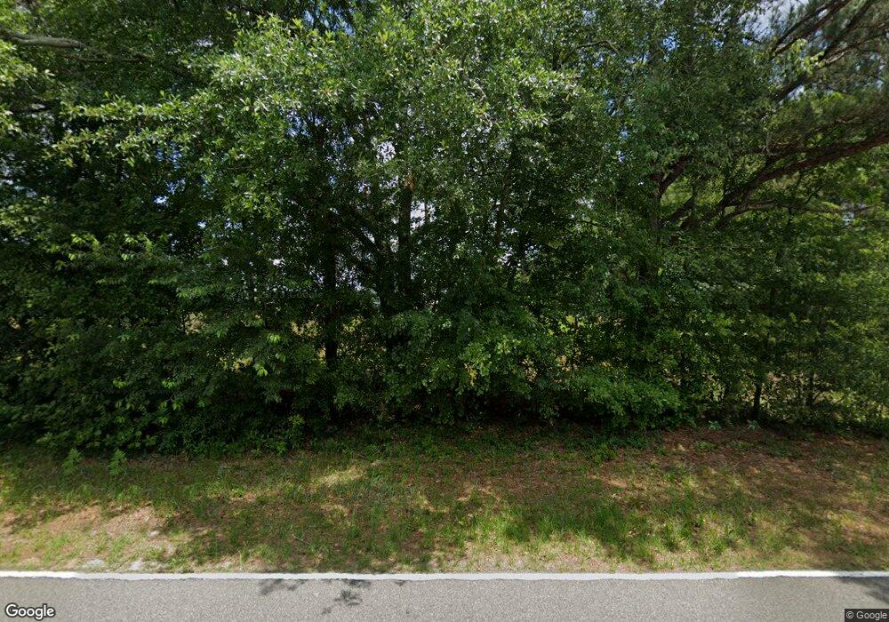
719 Raines Station Rd Cordele, GA 31015
Estimated Value: $440,923 - $511,000
3
Beds
2
Baths
1,792
Sq Ft
$266/Sq Ft
Est. Value
About This Home
This home is located at 719 Raines Station Rd, Cordele, GA 31015 and is currently estimated at $475,962, approximately $265 per square foot. 719 Raines Station Rd is a home located in Crisp County with nearby schools including Crisp County Elementary School, Crisp County Primary School, and Crisp County Middle School.
Ownership History
Date
Name
Owned For
Owner Type
Purchase Details
Closed on
Jun 1, 2018
Sold by
Moore Susan C
Bought by
Patrick Investment Corp
Current Estimated Value
Purchase Details
Closed on
Oct 8, 2003
Sold by
Moore Susan C
Bought by
Ulm John Richard
Purchase Details
Closed on
Dec 31, 1996
Sold by
Moore Don and Carol Ann
Bought by
Moore Susan C
Purchase Details
Closed on
Dec 29, 1987
Sold by
Moore Verlie M
Bought by
Moore Don and Carol Ann
Create a Home Valuation Report for This Property
The Home Valuation Report is an in-depth analysis detailing your home's value as well as a comparison with similar homes in the area
Home Values in the Area
Average Home Value in this Area
Purchase History
| Date | Buyer | Sale Price | Title Company |
|---|---|---|---|
| Patrick Investment Corp | $237,500 | -- | |
| Ulm John Richard | -- | -- | |
| Moore Susan C | $65,000 | -- | |
| Moore Don | $63,400 | -- |
Source: Public Records
Tax History Compared to Growth
Tax History
| Year | Tax Paid | Tax Assessment Tax Assessment Total Assessment is a certain percentage of the fair market value that is determined by local assessors to be the total taxable value of land and additions on the property. | Land | Improvement |
|---|---|---|---|---|
| 2024 | $1,034 | $156,371 | $147,476 | $8,895 |
| 2023 | $970 | $120,896 | $115,096 | $5,800 |
| 2022 | $1,025 | $87,829 | $78,934 | $8,895 |
| 2021 | $1,005 | $87,829 | $78,934 | $8,895 |
| 2020 | $1,039 | $87,829 | $78,934 | $8,895 |
| 2019 | $1,013 | $11,766 | $0 | $11,766 |
| 2018 | $2,849 | $95,039 | $74,857 | $20,182 |
| 2017 | $2,897 | $94,213 | $74,857 | $19,356 |
| 2016 | $2,823 | $93,937 | $74,857 | $19,080 |
| 2015 | -- | $93,753 | $74,857 | $18,896 |
| 2014 | -- | $93,976 | $74,857 | $19,119 |
| 2013 | -- | $94,644 | $74,857 | $19,787 |
Source: Public Records
Map
Nearby Homes
- 718 Jamestown Rd
- 1617 Antioch Rd
- TBD Arabi Warwick Rd
- 130 Swift Creek Rd
- 000 Swift Creek Rd
- 317 Mill Branch Rd
- 303 Mill Branch Rd
- 0 Arabi Warwick Rd
- 000 Bream Rd
- 102 Perch Dr
- 144 Bryant Rd
- 198 Swift Creek Rd
- 0 Swift Creek Rd Unit 138425
- 118 Swift Creek Rd
- 629 Cork Ferry Rd
- 276 Lakeshore Way
- 738 Cork Ferry Rd
- 000 Lakeshore Way
- 696 Cork Ferry Rd
- 484 Lakeshore Way
- 771 Raines Station Rd
- 514 Mcafee Rd
- 757 Raines Station Rd
- 762 Raines Station Rd
- 567 Mcafee Rd
- 696 Raines Station Rd
- 646 Mcafee Rd
- 706 Raines Station Rd
- 607 Mcafee Rd
- 647 Raines Station Rd
- 817 Raines Station Rd
- 658 Mcafee Rd
- 322 Bec Rd
- 147 Bec Rd
- 1467 Antioch Rd
- 107 Bec Rd
- 1511 Antioch Rd
- 0 1600 Arabi Warwick R
- 781 Mcafee Rd
