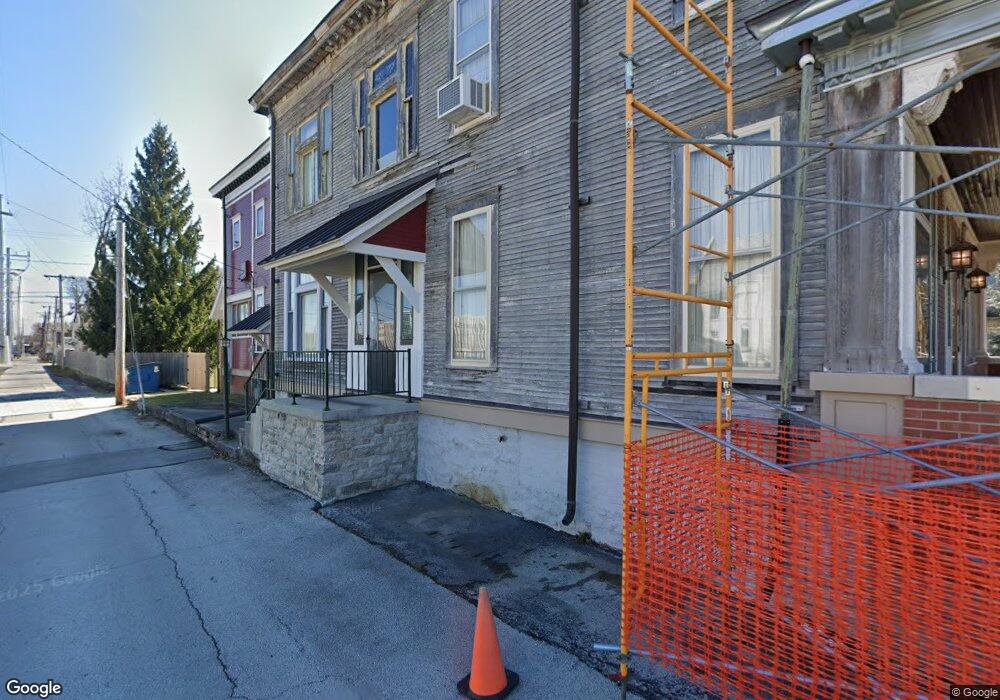
719 S Main St Findlay, OH 45840
Estimated Value: $343,443
3
Beds
3
Baths
2,146
Sq Ft
$160/Sq Ft
Est. Value
About This Home
This home is located at 719 S Main St, Findlay, OH 45840 and is currently estimated at $343,443, approximately $160 per square foot. 719 S Main St is a home located in Hancock County with nearby schools including Lincoln Elementary School, Donnell Middle School, and Findlay High School.
Ownership History
Date
Name
Owned For
Owner Type
Purchase Details
Closed on
Aug 26, 2011
Sold by
Lamb Clarence E and Lamb Margaret A
Bought by
Board Of Hancock County Commissioners
Current Estimated Value
Purchase Details
Closed on
May 20, 1991
Bought by
Montgomery William J
Purchase Details
Closed on
Aug 29, 1990
Bought by
Might Clifford E
Purchase Details
Closed on
Apr 1, 1987
Bought by
Might Clifford E and Might Marlene
Purchase Details
Closed on
Aug 23, 1985
Bought by
Miller Ronald L and Miller Cindy L
Purchase Details
Closed on
Nov 1, 1982
Bought by
Hamilton Thomas R
Create a Home Valuation Report for This Property
The Home Valuation Report is an in-depth analysis detailing your home's value as well as a comparison with similar homes in the area
Home Values in the Area
Average Home Value in this Area
Purchase History
| Date | Buyer | Sale Price | Title Company |
|---|---|---|---|
| Board Of Hancock County Commissioners | $142,733 | None Available | |
| Montgomery William J | $82,000 | -- | |
| Might Clifford E | -- | -- | |
| Might Clifford E | $85,000 | -- | |
| Miller Ronald L | $82,000 | -- | |
| Hamilton Thomas R | $86,500 | -- |
Source: Public Records
Tax History Compared to Growth
Tax History
| Year | Tax Paid | Tax Assessment Tax Assessment Total Assessment is a certain percentage of the fair market value that is determined by local assessors to be the total taxable value of land and additions on the property. | Land | Improvement |
|---|---|---|---|---|
| 2024 | -- | $9,430 | $9,430 | $0 |
| 2023 | $0 | $9,430 | $9,430 | $0 |
| 2022 | $0 | $9,430 | $9,430 | $0 |
| 2021 | $0 | $13,360 | $13,360 | $0 |
| 2020 | $18 | $13,360 | $13,360 | $0 |
| 2019 | $18 | $13,360 | $13,360 | $0 |
| 2018 | $0 | $13,360 | $13,360 | $0 |
| 2017 | $18 | $13,360 | $13,360 | $0 |
| 2016 | $18 | $13,360 | $13,360 | $0 |
| 2015 | $1,014 | $13,360 | $13,360 | $0 |
| 2014 | $1,014 | $13,360 | $13,360 | $0 |
| 2012 | $1,014 | $22,360 | $13,360 | $9,000 |
Source: Public Records
Map
Nearby Homes
- 829 Maple Ave
- 225 Lima Ave
- 202 Hancock St
- 720 S West St
- 905 S West St
- 419 W Lincoln St
- 817 Park St
- 514 Liberty St
- 412 Lima Ave
- 420 1st St
- 416 1/2 Lima Ave
- 527 W Lincoln St
- 1115 Liberty St
- 1109 Park St
- 123 Glendale Ave
- 407 Washington St
- 801 W Sandusky St
- 904 Morse St
- 0 Canadian Way Unit 20253551
- 0 Canadian Way Unit 6135400
- 725 S Main St
- 0 Main Lot 3 St
- 0 Main Lot 4 St
- 731 S Main St
- 116 E Lima St
- 120 E Lima St
- 124 E Lima St
- 801 S Main St Unit 801 s main
- 801 S Main St Unit B
- 801 S Main St Unit 6
- 801 S Main St
- 115 E Lima St Unit Downstairs
- 115 E Lima St
- 714 S Main St
- 128 E Lima St
- 720 Beech Ave
- 132 E Lima St
- 110 W Lincoln St Unit 112
- 719 Beech Ave
- 123 E Lima St