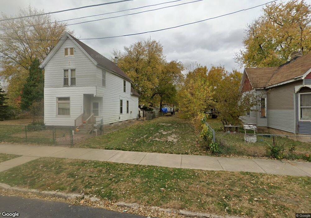
719 S Sumner Ave Peoria, IL 61605
Downtown Peoria NeighborhoodEstimated Value: $31,000
2
Beds
1
Bath
824
Sq Ft
$38/Sq Ft
Est. Value
About This Home
This home is located at 719 S Sumner Ave, Peoria, IL 61605 and is currently priced at $31,000, approximately $37 per square foot. 719 S Sumner Ave is a home located in Peoria County with nearby schools including Manual High School, St Mark School, and Christ Lutheran School.
Ownership History
Date
Name
Owned For
Owner Type
Purchase Details
Closed on
Jul 23, 2021
Sold by
Krigner Tina M
Bought by
City Of Peoria
Current Estimated Value
Purchase Details
Closed on
Apr 29, 2021
Sold by
Us Prime Land Inc
Bought by
Krigner Tina M
Purchase Details
Closed on
Mar 9, 2021
Sold by
Abw Properties Llc
Bought by
Us Prime Land Inc
Purchase Details
Closed on
Oct 8, 2020
Sold by
Trust No 18-17-127-031
Bought by
Abw Properties Llc
Purchase Details
Closed on
Aug 11, 2020
Sold by
County Clerk / County / Peoria
Bought by
Trust No 18-17-127-032 and Peoria County
Create a Home Valuation Report for This Property
The Home Valuation Report is an in-depth analysis detailing your home's value as well as a comparison with similar homes in the area
Home Values in the Area
Average Home Value in this Area
Purchase History
| Date | Buyer | Sale Price | Title Company |
|---|---|---|---|
| City Of Peoria | -- | None Listed On Document | |
| Krigner Tina M | $4,500 | None Listed On Document | |
| Us Prime Land Inc | $40,528 | None Listed On Document | |
| Abw Properties Llc | -- | Schrimpf Stephen P | |
| Trust No 18-17-127-032 | -- | None Listed On Document |
Source: Public Records
Tax History Compared to Growth
Tax History
| Year | Tax Paid | Tax Assessment Tax Assessment Total Assessment is a certain percentage of the fair market value that is determined by local assessors to be the total taxable value of land and additions on the property. | Land | Improvement |
|---|---|---|---|---|
| 2024 | -- | -- | -- | -- |
| 2023 | -- | -- | -- | -- |
| 2022 | $0 | $0 | $0 | $0 |
| 2021 | $356 | $0 | $0 | $0 |
| 2020 | $356 | $3,550 | $590 | $2,960 |
| 2019 | $361 | $3,620 | $600 | $3,020 |
| 2018 | $367 | $3,770 | $640 | $3,130 |
| 2017 | $365 | $3,810 | $650 | $3,160 |
| 2016 | $358 | $3,810 | $650 | $3,160 |
| 2015 | -- | $3,740 | $640 | $3,100 |
| 2014 | -- | $4,160 | $640 | $3,520 |
| 2013 | -- | $4,210 | $650 | $3,560 |
Source: Public Records
Map
Nearby Homes
- 801 S Warren St
- 1512 W Millman St
- 1214 W Howett St
- 1701 W Howett St
- 1802 W Butler St
- 312 S Webster St
- 1605 W Martin St
- 1200 S Matthew St
- 2000 W Antoinette St
- 1309 S Matthew St
- 1300 S Greenlawn Ave
- 2115 W Proctor St
- 1009 W Smith St
- 2010 W Garden St
- 911 W Hurlburt St
- 318 Blaine St
- 120 N Kane St
- 2316 W Wiswall St
- 1825 W Moss Ave
- 1637 W Moss Ave
- 715 S Sumner Ave
- 721 S Sumner Ave
- 713 S Sumner Ave
- 805 S Sumner Ave
- 720 S Shelley St
- 707 S Sumner Ave
- 710 S Shelley St
- 710 S Sumner Ave
- 712 S Shelley St
- 720 S Sumner Ave
- 708 S Shelley St
- 706 S Shelley St
- 1504 W Lincoln Ave
- 716 S Sumner Ave
- 809 S Sumner Ave
- 804 S Shelley St
- 802 S Shelley St
- 800 S Sumner Ave
- 711 S Louisa St
- 806 S Sumner Ave