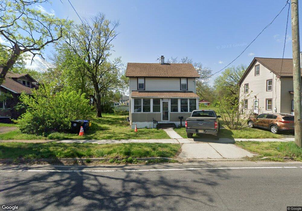
719 Union Landing Rd Cinnaminson, NJ 08077
Estimated Value: $230,072
--
Bed
--
Bath
1,152
Sq Ft
$200/Sq Ft
Est. Value
About This Home
This home is located at 719 Union Landing Rd, Cinnaminson, NJ 08077 and is currently estimated at $230,072, approximately $199 per square foot. 719 Union Landing Rd is a home located in Burlington County with nearby schools including New Albany Elementary School, Eleanor Rush Intermediate School, and Cinnaminson Middle School.
Ownership History
Date
Name
Owned For
Owner Type
Purchase Details
Closed on
Jan 10, 2020
Sold by
Blackwell Anne
Bought by
Johnston Hiram R
Current Estimated Value
Home Financials for this Owner
Home Financials are based on the most recent Mortgage that was taken out on this home.
Original Mortgage
$135,000
Outstanding Balance
$119,254
Interest Rate
3.7%
Mortgage Type
New Conventional
Estimated Equity
$110,818
Purchase Details
Closed on
Oct 10, 2015
Sold by
Johnston Stacy L
Bought by
Blackwell Anne
Purchase Details
Closed on
Aug 20, 1990
Bought by
Johnston Edythe
Create a Home Valuation Report for This Property
The Home Valuation Report is an in-depth analysis detailing your home's value as well as a comparison with similar homes in the area
Home Values in the Area
Average Home Value in this Area
Purchase History
| Date | Buyer | Sale Price | Title Company |
|---|---|---|---|
| Johnston Hiram R | $135,000 | None Available | |
| Blackwell Anne | -- | Attorney | |
| Johnston Edythe | -- | -- |
Source: Public Records
Mortgage History
| Date | Status | Borrower | Loan Amount |
|---|---|---|---|
| Open | Johnston Hiram R | $135,000 |
Source: Public Records
Tax History Compared to Growth
Tax History
| Year | Tax Paid | Tax Assessment Tax Assessment Total Assessment is a certain percentage of the fair market value that is determined by local assessors to be the total taxable value of land and additions on the property. | Land | Improvement |
|---|---|---|---|---|
| 2025 | -- | $112,200 | $35,600 | $76,600 |
| 2024 | -- | $112,200 | $35,600 | $76,600 |
| 2023 | -- | $112,200 | $35,600 | $76,600 |
| 2022 | -- | $112,200 | $35,600 | $76,600 |
| 2021 | $0 | $112,200 | $35,600 | $76,600 |
| 2020 | $4,008 | $112,200 | $35,600 | $76,600 |
| 2019 | $3,952 | $112,200 | $35,600 | $76,600 |
| 2018 | $3,924 | $112,200 | $35,600 | $76,600 |
| 2017 | $3,883 | $112,200 | $35,600 | $76,600 |
| 2016 | $3,829 | $112,200 | $35,600 | $76,600 |
| 2015 | $3,708 | $112,200 | $35,600 | $76,600 |
| 2014 | $3,531 | $112,200 | $35,600 | $76,600 |
Source: Public Records
Map
Nearby Homes
- 803 James Ave
- 724 Pear St
- 322 Amy Way Unit C322
- 1804 Nathan Dr Unit C1804
- 194 Fela Dr
- 1910 Jakob Ct
- 1917 Lukas Ct
- 314 Helen Dr Unit C314
- 1915 Jakob Ct
- 1521 Jason Dr Unit 1521
- 1531 Jason Dr Unit 1531
- 1511 Jason Dr Unit 1511
- 305 Nathan Dr
- 1536 Jason Dr Unit 1536
- 124 Nathan Dr
- 221 Nathan Dr
- 177 Nathan Dr
- 121 Helen Dr Unit 121
- 160 Helen Dr
- 601 8th St
- 721 Union Landing Rd
- 715 Union Landing Rd
- 2121 Land St
- 2113 Land St
- 711 Union Landing Rd
- 2109 Land St
- 800 Turner Ave
- 801 Union Landing Rd
- 705 Union Landing Rd
- 2105 Land St
- 804 Turner Ave
- 701 Union Landing Rd
- 803 Turner Ave
- 807 Union Landing Rd
- 808 Turner Ave
- 720 James Ave
- 714 James Ave
- 811 Turner Ave
- 2101 Land St
- 2026 Rowland St