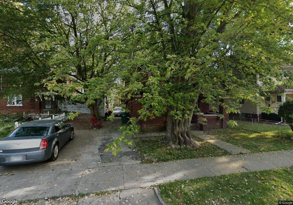
719 W Decatur St Decatur, IL 62522
Near West NeighborhoodEstimated Value: $74,000 - $113,000
3
Beds
1
Bath
2,506
Sq Ft
$35/Sq Ft
Est. Value
About This Home
This home is located at 719 W Decatur St, Decatur, IL 62522 and is currently estimated at $87,092, approximately $34 per square foot. 719 W Decatur St is a home located in Macon County with nearby schools including Dennis Lab School, St. Patrick School, and Teen Challenge-Home For Girls.
Ownership History
Date
Name
Owned For
Owner Type
Purchase Details
Closed on
Nov 3, 2017
Sold by
Matos Juian M
Bought by
Slater Charity L
Current Estimated Value
Purchase Details
Closed on
Jan 17, 2006
Sold by
Fanniemae
Bought by
Slater Shannon
Purchase Details
Closed on
Nov 8, 2005
Sold by
Whitfield Nicole E and Whitfield Ronnie
Bought by
Allied Home Mortgage Capital Corp
Purchase Details
Closed on
Jun 1, 2004
Purchase Details
Closed on
May 1, 2002
Create a Home Valuation Report for This Property
The Home Valuation Report is an in-depth analysis detailing your home's value as well as a comparison with similar homes in the area
Home Values in the Area
Average Home Value in this Area
Purchase History
| Date | Buyer | Sale Price | Title Company |
|---|---|---|---|
| Slater Charity L | -- | -- | |
| Slater Shannon | -- | None Available | |
| Allied Home Mortgage Capital Corp | $2,000 | None Available | |
| -- | $41,900 | -- | |
| -- | $10,000 | -- |
Source: Public Records
Tax History Compared to Growth
Tax History
| Year | Tax Paid | Tax Assessment Tax Assessment Total Assessment is a certain percentage of the fair market value that is determined by local assessors to be the total taxable value of land and additions on the property. | Land | Improvement |
|---|---|---|---|---|
| 2024 | $1,756 | $24,137 | $1,423 | $22,714 |
| 2023 | $1,720 | $23,283 | $1,373 | $21,910 |
| 2022 | $1,019 | $15,962 | $1,271 | $14,691 |
| 2021 | $916 | $14,907 | $1,187 | $13,720 |
| 2020 | $903 | $14,215 | $1,132 | $13,083 |
| 2019 | $903 | $14,215 | $1,132 | $13,083 |
| 2018 | $892 | $14,262 | $1,136 | $13,126 |
| 2017 | $905 | $14,642 | $1,166 | $13,476 |
| 2016 | $929 | $14,791 | $1,178 | $13,613 |
| 2015 | $872 | $14,529 | $1,157 | $13,372 |
| 2014 | $820 | $14,386 | $1,146 | $13,240 |
| 2013 | $852 | $14,926 | $1,189 | $13,737 |
Source: Public Records
Map
Nearby Homes
- 441 S Seigel St
- 617 W Decatur St
- 628 W Forest Ave
- 612 W Macon St
- 657 W Wood St
- 437 Powers Ln
- 450 W Macon St
- 440 W Macon St
- 650 S Crea St
- 530 Powers Ln
- 899 W Main St
- 580 Powers Ln
- 717 W Prairie Ave Unit 2
- 1005 W Main St
- 609 W William St
- 254 N Pine St
- 452 W Prairie Ave
- 442 W Prairie Ave
- 320 W Main St
- 233 N Edward St
- 727 W Decatur St
- 409 S Seigel St
- 417 S Seigel St
- 712 W Decatur St
- 706 W Decatur St
- 417 S Siegel St
- 425 S Seigel St
- 718 W Decatur St
- 704 W Decatur St
- 657 W Decatur St
- 670 W Decatur St
- 426 S Seigel St
- 443 S Seigel St
- 761 W Decatur St
- 443 S Siegel St
- 752 W Decatur St
- 436 S Seigel St
- 654 W Decatur St
- 771 W Decatur St
- 436 S Siegel St