7190 Dull Rd Arcanum, OH 45304
Estimated Value: $269,000 - $351,000
3
Beds
1
Bath
2,578
Sq Ft
$119/Sq Ft
Est. Value
About This Home
This home is located at 7190 Dull Rd, Arcanum, OH 45304 and is currently estimated at $306,504, approximately $118 per square foot. 7190 Dull Rd is a home with nearby schools including Arcanum Elementary School, Butler Middle School, and Arcanum High School.
Ownership History
Date
Name
Owned For
Owner Type
Purchase Details
Closed on
Mar 31, 2005
Sold by
Swank Bertha J and Duane Swank H
Bought by
Stephens Michael A and Stephens Jennifer L
Current Estimated Value
Home Financials for this Owner
Home Financials are based on the most recent Mortgage that was taken out on this home.
Original Mortgage
$120,000
Outstanding Balance
$59,325
Interest Rate
5.64%
Mortgage Type
Purchase Money Mortgage
Estimated Equity
$247,179
Purchase Details
Closed on
Nov 13, 1991
Bought by
Stephens Michael A and Stephens Jennifer L
Create a Home Valuation Report for This Property
The Home Valuation Report is an in-depth analysis detailing your home's value as well as a comparison with similar homes in the area
Purchase History
| Date | Buyer | Sale Price | Title Company |
|---|---|---|---|
| Stephens Michael A | $150,000 | -- | |
| Stephens Michael A | -- | -- |
Source: Public Records
Mortgage History
| Date | Status | Borrower | Loan Amount |
|---|---|---|---|
| Open | Stephens Michael A | $120,000 |
Source: Public Records
Tax History
| Year | Tax Paid | Tax Assessment Tax Assessment Total Assessment is a certain percentage of the fair market value that is determined by local assessors to be the total taxable value of land and additions on the property. | Land | Improvement |
|---|---|---|---|---|
| 2025 | $2,913 | $83,410 | $18,580 | $64,830 |
| 2024 | $2,913 | $83,410 | $18,580 | $64,830 |
| 2023 | $2,917 | $83,410 | $18,580 | $64,830 |
| 2022 | $2,668 | $68,540 | $16,370 | $52,170 |
| 2021 | $2,690 | $68,540 | $16,370 | $52,170 |
| 2020 | $2,608 | $68,540 | $16,370 | $52,170 |
| 2019 | $2,275 | $59,840 | $16,370 | $43,470 |
| 2018 | $2,258 | $59,840 | $16,370 | $43,470 |
| 2017 | $1,540 | $59,840 | $16,370 | $43,470 |
| 2016 | $1,542 | $43,330 | $13,310 | $30,020 |
| 2015 | $1,542 | $43,330 | $13,310 | $30,020 |
| 2014 | $1,561 | $43,330 | $13,310 | $30,020 |
| 2013 | $1,639 | $43,050 | $13,030 | $30,020 |
Source: Public Records
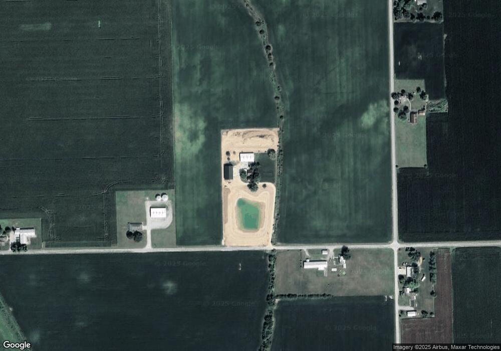
Map
Nearby Homes
- 210 E South St
- 1893 Gordon Landis Rd
- 2 N Main St
- 111 N Main St
- 206 W George St
- 404 W 1st St
- 201 W George St
- 12 Parkdale Dr
- 2 Edgewood Dr
- 220 Baker St
- 108 S Jefferson
- 108 S Jefferson St
- 300 N Jefferson St
- 0 Ohio 722 Unit 10052561
- 0 Ohio 722 Unit 949232
- 0 Ohio 722 Unit 1042963
- 0 Delisle Fourman Rd
- 0 Friday Rd
- 405 East St
- 3805 State Route 49
- 7150 Dull Rd
- 2083 Albright Rd
- 1975 Albright Rd
- 2139 Albright Rd
- 7136 Dull Rd
- 7080 Dull Rd
- 7370 Dull Rd Unit Arcanum
- 7370 Dull Rd
- 6963 Dull Rd
- 0 St Rt 722 Unit 10046801
- 0 St Rt 722 Unit 10035225
- 7382 Dull Rd
- 7111 Dull Rd
- 211 N Walnut St
- 2343 Albright Rd
- 0 Washington Unit 770021
- 0 Harvest Fields Way Unit 397324
- 139 Loop Rd
- 1 St Rt 49 S
- 1 Darkemiamipreblemontgomery
Your Personal Tour Guide
Ask me questions while you tour the home.