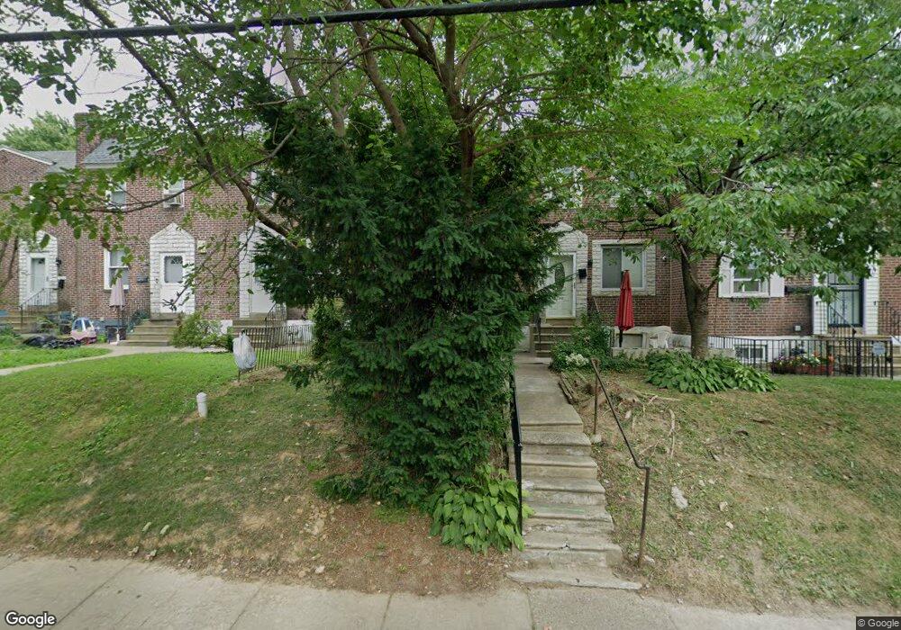
7190 Midway Ave Upper Darby, PA 19082
Estimated Value: $161,153 - $200,000
3
Beds
2
Baths
1,120
Sq Ft
$158/Sq Ft
Est. Value
About This Home
This home is located at 7190 Midway Ave, Upper Darby, PA 19082 and is currently estimated at $176,788, approximately $157 per square foot. 7190 Midway Ave is a home located in Delaware County with nearby schools including Upper Darby Kdg Center, Upper Darby High School, and Vision Academy Charter School.
Ownership History
Date
Name
Owned For
Owner Type
Purchase Details
Closed on
Sep 28, 2005
Sold by
Dikeanyiam Berna
Bought by
Fofana Kadija
Current Estimated Value
Home Financials for this Owner
Home Financials are based on the most recent Mortgage that was taken out on this home.
Original Mortgage
$78,455
Outstanding Balance
$47,998
Interest Rate
8.12%
Mortgage Type
Fannie Mae Freddie Mac
Estimated Equity
$128,790
Purchase Details
Closed on
Sep 2, 2004
Sold by
Hud
Bought by
Dikeanyiam Berna
Home Financials for this Owner
Home Financials are based on the most recent Mortgage that was taken out on this home.
Original Mortgage
$57,500
Interest Rate
5.75%
Mortgage Type
Fannie Mae Freddie Mac
Purchase Details
Closed on
May 19, 2004
Sold by
Wachovia Bank Na
Bought by
Hud
Purchase Details
Closed on
Apr 29, 2004
Sold by
Glover Darren F and Glover Pamela L
Bought by
First Union National Bank and Pa Housing Finance Agency
Create a Home Valuation Report for This Property
The Home Valuation Report is an in-depth analysis detailing your home's value as well as a comparison with similar homes in the area
Home Values in the Area
Average Home Value in this Area
Purchase History
| Date | Buyer | Sale Price | Title Company |
|---|---|---|---|
| Fofana Kadija | $92,300 | None Available | |
| Dikeanyiam Berna | $57,500 | -- | |
| Hud | -- | -- | |
| First Union National Bank | $15,000 | -- |
Source: Public Records
Mortgage History
| Date | Status | Borrower | Loan Amount |
|---|---|---|---|
| Open | Fofana Kadija | $78,455 | |
| Previous Owner | Dikeanyiam Berna | $57,500 |
Source: Public Records
Tax History Compared to Growth
Tax History
| Year | Tax Paid | Tax Assessment Tax Assessment Total Assessment is a certain percentage of the fair market value that is determined by local assessors to be the total taxable value of land and additions on the property. | Land | Improvement |
|---|---|---|---|---|
| 2025 | $3,025 | $71,520 | $14,820 | $56,700 |
| 2024 | $3,025 | $71,520 | $14,820 | $56,700 |
| 2023 | $2,996 | $71,520 | $14,820 | $56,700 |
| 2022 | $2,916 | $71,520 | $14,820 | $56,700 |
| 2021 | $3,931 | $71,520 | $14,820 | $56,700 |
| 2020 | $3,119 | $48,210 | $13,480 | $34,730 |
| 2019 | $3,064 | $48,210 | $13,480 | $34,730 |
| 2018 | $3,028 | $48,210 | $0 | $0 |
| 2017 | $2,950 | $48,210 | $0 | $0 |
| 2016 | $265 | $48,210 | $0 | $0 |
| 2015 | $270 | $48,210 | $0 | $0 |
| 2014 | $265 | $48,210 | $0 | $0 |
Source: Public Records
Map
Nearby Homes
- 346 Long Ln
- 432 Grace Rd
- 414 Glendale Rd
- 506 Hampden Rd
- 404 Croyden Rd
- 418 Hampden Rd
- 351 Long Ln
- 7139 Guilford Rd
- 7249 Guilford Rd
- 40 Lamport Rd
- 7265 Calvin Rd
- 607 Littlecroft Rd
- 7114 Locust St
- 504 Woodcliffe Rd
- 424 Woodcliffe Rd
- 669 Long Ln
- 513 Woodcliffe Rd
- 7216 Clinton Rd
- 324 Kingston Rd
- 142 Springton Rd