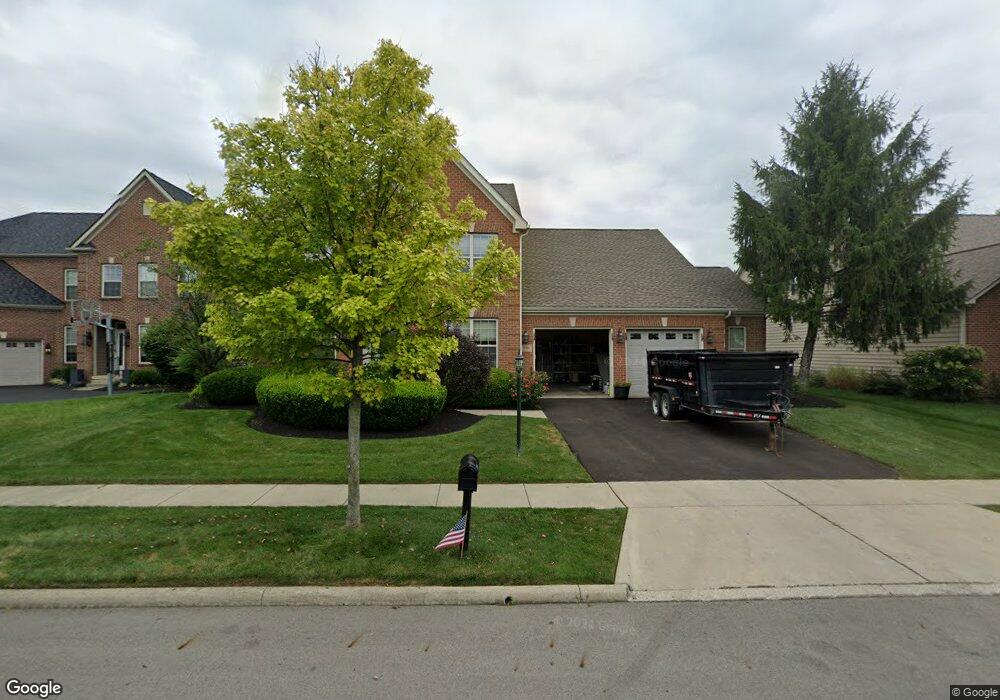
7190 Sumption Dr New Albany, OH 43054
Estimated Value: $742,000 - $803,000
4
Beds
5
Baths
4,218
Sq Ft
$185/Sq Ft
Est. Value
About This Home
This home is located at 7190 Sumption Dr, New Albany, OH 43054 and is currently estimated at $780,432, approximately $185 per square foot. 7190 Sumption Dr is a home located in Franklin County with nearby schools including New Albany Primary School, New Albany Intermediate School, and New Albany Middle School.
Ownership History
Date
Name
Owned For
Owner Type
Purchase Details
Closed on
Sep 15, 2008
Sold by
Hunt Lance and Hunt Brenda
Bought by
Chhoa Sadi
Current Estimated Value
Home Financials for this Owner
Home Financials are based on the most recent Mortgage that was taken out on this home.
Original Mortgage
$344,250
Interest Rate
6.06%
Mortgage Type
Purchase Money Mortgage
Purchase Details
Closed on
Apr 21, 2004
Sold by
Romanelli & Hughes Building Co
Bought by
Hunt Lance and Hunt Brenda
Home Financials for this Owner
Home Financials are based on the most recent Mortgage that was taken out on this home.
Original Mortgage
$333,700
Interest Rate
4%
Mortgage Type
Purchase Money Mortgage
Purchase Details
Closed on
Apr 13, 2004
Sold by
New Albany Links Development Co Ltd
Bought by
Romanelli & Hughes Building Co
Home Financials for this Owner
Home Financials are based on the most recent Mortgage that was taken out on this home.
Original Mortgage
$333,700
Interest Rate
4%
Mortgage Type
Purchase Money Mortgage
Create a Home Valuation Report for This Property
The Home Valuation Report is an in-depth analysis detailing your home's value as well as a comparison with similar homes in the area
Home Values in the Area
Average Home Value in this Area
Purchase History
| Date | Buyer | Sale Price | Title Company |
|---|---|---|---|
| Chhoa Sadi | $382,500 | Chicago Tit | |
| Hunt Lance | $442,300 | -- | |
| Romanelli & Hughes Building Co | $70,000 | -- |
Source: Public Records
Mortgage History
| Date | Status | Borrower | Loan Amount |
|---|---|---|---|
| Previous Owner | Chhoa Sadi | $344,250 | |
| Previous Owner | Hunt Lance | $333,700 | |
| Closed | Hunt Lance | $60,000 |
Source: Public Records
Tax History Compared to Growth
Tax History
| Year | Tax Paid | Tax Assessment Tax Assessment Total Assessment is a certain percentage of the fair market value that is determined by local assessors to be the total taxable value of land and additions on the property. | Land | Improvement |
|---|---|---|---|---|
| 2024 | $19,134 | $208,740 | $42,000 | $166,740 |
| 2023 | $12,294 | $208,740 | $42,000 | $166,740 |
| 2022 | $12,392 | $160,130 | $29,050 | $131,080 |
| 2021 | $11,926 | $160,130 | $29,050 | $131,080 |
| 2020 | $11,865 | $160,130 | $29,050 | $131,080 |
| 2019 | $11,261 | $138,430 | $25,270 | $113,160 |
| 2018 | $11,532 | $138,430 | $25,270 | $113,160 |
| 2017 | $11,608 | $138,430 | $25,270 | $113,160 |
| 2016 | $11,913 | $134,970 | $41,970 | $93,000 |
| 2015 | $11,936 | $134,970 | $41,970 | $93,000 |
| 2014 | $11,190 | $134,970 | $41,970 | $93,000 |
| 2013 | $5,758 | $128,520 | $39,970 | $88,550 |
Source: Public Records
Map
Nearby Homes
- 6935 Kindler Dr
- 7072 Maynard Place E
- 6993 Cunningham Dr
- 7013 Cunningham Dr
- 7125 Longfield Ct
- 7075 Maynard Place
- 7090 Dean Farm Rd
- 7485 Central College Rd
- 8951 Grate Park Square
- 7477 New Albany Links Dr
- 7301 Wood Edge Ln
- 7595 Skarlocken Green
- 7385 Wood Edge Ln
- 7361 Wood Edge Ln
- 0 Johnstown Rd
- 5685 Jersey Dr
- 8600 Steeple Wood Dr
- 10087 Johnstown Rd
- 7989 Clouse Rd
- 8309 Marwithe Place
- 7180 Sumption Dr
- 7200 Sumption Dr
- 7170 Sumption Dr
- 6875 Margarum Bend
- 6895 Margarum Bend
- 7210 Sumption Dr
- 7181 Sumption Dr
- 6865 Margarum Bend
- 6905 Margarum Bend
- 7171 Sumption Dr
- 7160 Sumption Dr
- 7201 Sumption Dr
- 7220 Sumption Dr
- 0 Margarum Bend Unit LOT 443
- 6855 Margarum Bend
- 6915 Margarum Bend
- 7161 Sumption Dr
- 7211 Sumption Dr
- 7150 Sumption Dr
- 7230 Sumption Dr