7191 State Road 21 Keystone Heights, FL 32656
Estimated Value: $449,341
--
Bed
--
Bath
6,650
Sq Ft
$68/Sq Ft
Est. Value
About This Home
This home is located at 7191 State Road 21, Keystone Heights, FL 32656 and is currently estimated at $449,341, approximately $67 per square foot. 7191 State Road 21 is a home located in Clay County with nearby schools including Keystone Heights Elementary School and Keystone Heights Junior/Senior High School.
Ownership History
Date
Name
Owned For
Owner Type
Purchase Details
Closed on
Oct 31, 2003
Sold by
Kuschel Eberhard Bob and Cash Roger D
Bought by
Fresh Start Fellowship Inc
Current Estimated Value
Home Financials for this Owner
Home Financials are based on the most recent Mortgage that was taken out on this home.
Original Mortgage
$95,000
Interest Rate
6%
Mortgage Type
Unknown
Create a Home Valuation Report for This Property
The Home Valuation Report is an in-depth analysis detailing your home's value as well as a comparison with similar homes in the area
Home Values in the Area
Average Home Value in this Area
Purchase History
| Date | Buyer | Sale Price | Title Company |
|---|---|---|---|
| Fresh Start Fellowship Inc | $183,000 | -- |
Source: Public Records
Mortgage History
| Date | Status | Borrower | Loan Amount |
|---|---|---|---|
| Closed | Fresh Start Fellowship Inc | $95,000 |
Source: Public Records
Tax History Compared to Growth
Tax History
| Year | Tax Paid | Tax Assessment Tax Assessment Total Assessment is a certain percentage of the fair market value that is determined by local assessors to be the total taxable value of land and additions on the property. | Land | Improvement |
|---|---|---|---|---|
| 2024 | -- | $413,270 | $29,900 | $383,370 |
| 2023 | $0 | $401,228 | $29,900 | $371,328 |
| 2022 | $0 | $396,087 | $29,900 | $366,187 |
| 2021 | $0 | $394,479 | $29,900 | $364,579 |
| 2020 | $0 | $416,917 | $29,900 | $387,017 |
| 2019 | $0 | $388,206 | $29,900 | $358,306 |
| 2018 | $0 | $380,759 | $0 | $0 |
| 2017 | $0 | $375,369 | $0 | $0 |
| 2016 | $0 | $369,781 | $0 | $0 |
| 2015 | -- | $364,099 | $0 | $0 |
| 2014 | -- | $364,387 | $0 | $0 |
Source: Public Records
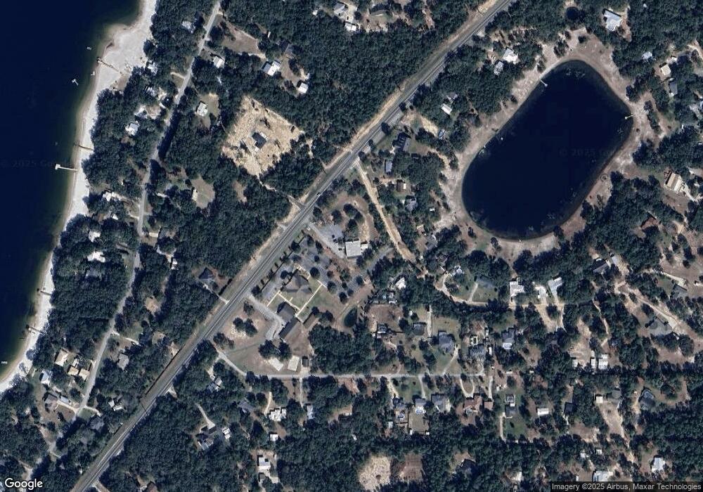
Map
Nearby Homes
- 6615 Camelot Ct
- 7013 Elfo Rd
- 7011 State Rd 21
- 7120 Gas Line Rd
- 6335 Payne Rd
- 6470 Brooklyn Bay Rd
- 7195 Gas Line Rd
- 6266 Little Lake Geneva Rd
- 6490 Woodland Dr
- 6706 Baja Ct
- 7086 Sewanee St
- 7058 Sewanee St
- 6981 Deer Springs Rd
- 6330 Alliance Ave
- 7142 Knox St
- 6956 Deer Springs Rd
- 6213 Oglethorpe Ave
- 6358 Reed Dr
- 6361 Antioch Ave
- 6353 Antioch Ave
- 6412 Loch Lommond Dr
- 6387 Loch Lommond Dr
- 6381 Loch Lommond Dr
- 6419 Loch Lommond Dr
- 6375 Loch Lommond Dr
- 6609 Camelot Ct
- 6425 Loch Lommond Dr
- 7171 State Road 21
- 6605 Camelot Ct
- 6427 Loch Lommond Dr
- 7165 State Road 21
- 7212 State Road 21
- 7159 State Road 21
- 6612 Camelot Ct
- 6597 Camelot Ct
- 6622 Camelot Ct
- 6608 Camelot Ct
- 6626 Camelot Ct
- 6433 Loch Lommond Dr
- 6604 Camelot Ct