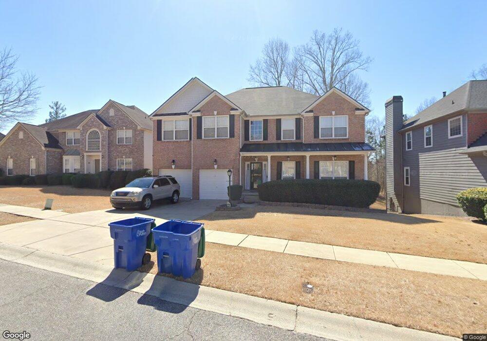
7192 Thoreau Cir Unit 185 Atlanta, GA 30349
Estimated Value: $411,960 - $503,000
5
Beds
3
Baths
3,296
Sq Ft
$141/Sq Ft
Est. Value
About This Home
This home is located at 7192 Thoreau Cir Unit 185, Atlanta, GA 30349 and is currently estimated at $463,990, approximately $140 per square foot. 7192 Thoreau Cir Unit 185 is a home located in Fulton County with nearby schools including Cliftondale Elementary School, Renaissance Middle School, and Langston Hughes High School.
Ownership History
Date
Name
Owned For
Owner Type
Purchase Details
Closed on
Jan 30, 2015
Sold by
Home Place Partners Llc
Bought by
Home Place Partners Iii Llc
Current Estimated Value
Purchase Details
Closed on
Dec 12, 2013
Sold by
Ajim Jane
Bought by
Home Place Partners Llc
Purchase Details
Closed on
Dec 22, 2003
Sold by
Ryland Group Inc
Bought by
Ajim Jane O and Ajim Allan
Home Financials for this Owner
Home Financials are based on the most recent Mortgage that was taken out on this home.
Original Mortgage
$242,250
Interest Rate
5.85%
Mortgage Type
New Conventional
Create a Home Valuation Report for This Property
The Home Valuation Report is an in-depth analysis detailing your home's value as well as a comparison with similar homes in the area
Home Values in the Area
Average Home Value in this Area
Purchase History
| Date | Buyer | Sale Price | Title Company |
|---|---|---|---|
| Home Place Partners Iii Llc | -- | -- | |
| Home Place Partners Llc | $165,000 | -- | |
| Ajim Jane O | $255,100 | -- |
Source: Public Records
Mortgage History
| Date | Status | Borrower | Loan Amount |
|---|---|---|---|
| Previous Owner | Ajim Jane O | $242,250 |
Source: Public Records
Tax History Compared to Growth
Tax History
| Year | Tax Paid | Tax Assessment Tax Assessment Total Assessment is a certain percentage of the fair market value that is determined by local assessors to be the total taxable value of land and additions on the property. | Land | Improvement |
|---|---|---|---|---|
| 2025 | $3,737 | $153,120 | $33,560 | $119,560 |
| 2023 | $5,084 | $180,120 | $30,960 | $149,160 |
| 2022 | $3,541 | $162,920 | $25,200 | $137,720 |
| 2021 | $3,481 | $125,200 | $22,800 | $102,400 |
| 2020 | $3,485 | $123,720 | $22,560 | $101,160 |
| 2019 | $3,414 | $109,560 | $13,720 | $95,840 |
| 2018 | $3,446 | $107,000 | $13,400 | $93,600 |
| 2017 | $3,254 | $99,200 | $14,480 | $84,720 |
| 2016 | $3,181 | $99,200 | $14,480 | $84,720 |
| 2015 | $2,629 | $91,720 | $13,400 | $78,320 |
| 2014 | $2,080 | $65,970 | $11,450 | $54,520 |
Source: Public Records
Map
Nearby Homes
- 7192 Thoreau Cir
- 3715 Hansberry Dr Unit 9
- 3725 Hansberry Dr
- 3725 Hansberry Dr Unit 9
- 3735 Hansberry Dr
- 7191 Thoreau Cir
- 7180 Thoreau Cir
- 3745 Hansberry Dr
- 7195 Thoreau Cir
- 7187 Thoreau Cir
- 3695 Hansberry Dr
- 0 Hansberry Dr Unit 7196086
- 0 Hansberry Dr Unit 8864339
- 0 Hansberry Dr Unit 8623868
- 0 Hansberry Dr Unit 8563968
- 0 Hansberry Dr Unit 2764500
- 0 Hansberry Dr Unit 3152436
- 0 Hansberry Dr Unit 7174477
- 3690 Hansberry Dr
- 7199 Thoreau Cir