7193 1st Ave Mays Landing, NJ 08330
Estimated Value: $458,000 - $468,000
--
Bed
--
Bath
1,730
Sq Ft
$268/Sq Ft
Est. Value
About This Home
This home is located at 7193 1st Ave, Mays Landing, NJ 08330 and is currently estimated at $463,953, approximately $268 per square foot. 7193 1st Ave is a home located in Atlantic County with nearby schools including Joseph Shaner School, George L. Hess Educational Complex, and William Davies Middle School.
Ownership History
Date
Name
Owned For
Owner Type
Purchase Details
Closed on
May 28, 2010
Sold by
Mason Tammy J
Bought by
Silver Steven M and Cox Shara
Current Estimated Value
Home Financials for this Owner
Home Financials are based on the most recent Mortgage that was taken out on this home.
Original Mortgage
$254,571
Outstanding Balance
$171,865
Interest Rate
5.12%
Mortgage Type
FHA
Estimated Equity
$292,088
Purchase Details
Closed on
Nov 12, 2003
Sold by
Mason Robert J and Mason Tammy J
Bought by
Mason Robert J and Mason Tammy J
Home Financials for this Owner
Home Financials are based on the most recent Mortgage that was taken out on this home.
Original Mortgage
$155,500
Interest Rate
5.82%
Mortgage Type
New Conventional
Purchase Details
Closed on
Apr 23, 2002
Sold by
J & M Land Co
Bought by
Mason Robert J and Mason Tammy J
Create a Home Valuation Report for This Property
The Home Valuation Report is an in-depth analysis detailing your home's value as well as a comparison with similar homes in the area
Home Values in the Area
Average Home Value in this Area
Purchase History
| Date | Buyer | Sale Price | Title Company |
|---|---|---|---|
| Silver Steven M | $258,000 | Foundation Title | |
| Mason Robert J | -- | -- | |
| Mason Robert J | $37,500 | -- |
Source: Public Records
Mortgage History
| Date | Status | Borrower | Loan Amount |
|---|---|---|---|
| Open | Silver Steven M | $254,571 | |
| Previous Owner | Mason Robert J | $155,500 |
Source: Public Records
Tax History Compared to Growth
Tax History
| Year | Tax Paid | Tax Assessment Tax Assessment Total Assessment is a certain percentage of the fair market value that is determined by local assessors to be the total taxable value of land and additions on the property. | Land | Improvement |
|---|---|---|---|---|
| 2025 | $8,478 | $247,100 | $55,400 | $191,700 |
| 2024 | $8,478 | $247,100 | $55,400 | $191,700 |
| 2023 | $7,971 | $247,100 | $55,400 | $191,700 |
| 2022 | $7,971 | $247,100 | $55,400 | $191,700 |
| 2021 | $7,954 | $247,100 | $55,400 | $191,700 |
| 2020 | $7,954 | $247,100 | $55,400 | $191,700 |
| 2019 | $7,974 | $247,100 | $55,400 | $191,700 |
| 2018 | $7,695 | $247,100 | $55,400 | $191,700 |
| 2017 | $7,574 | $247,100 | $55,400 | $191,700 |
| 2016 | $7,361 | $247,100 | $55,400 | $191,700 |
| 2015 | $7,112 | $247,100 | $55,400 | $191,700 |
| 2014 | $6,993 | $266,200 | $64,300 | $201,900 |
Source: Public Records
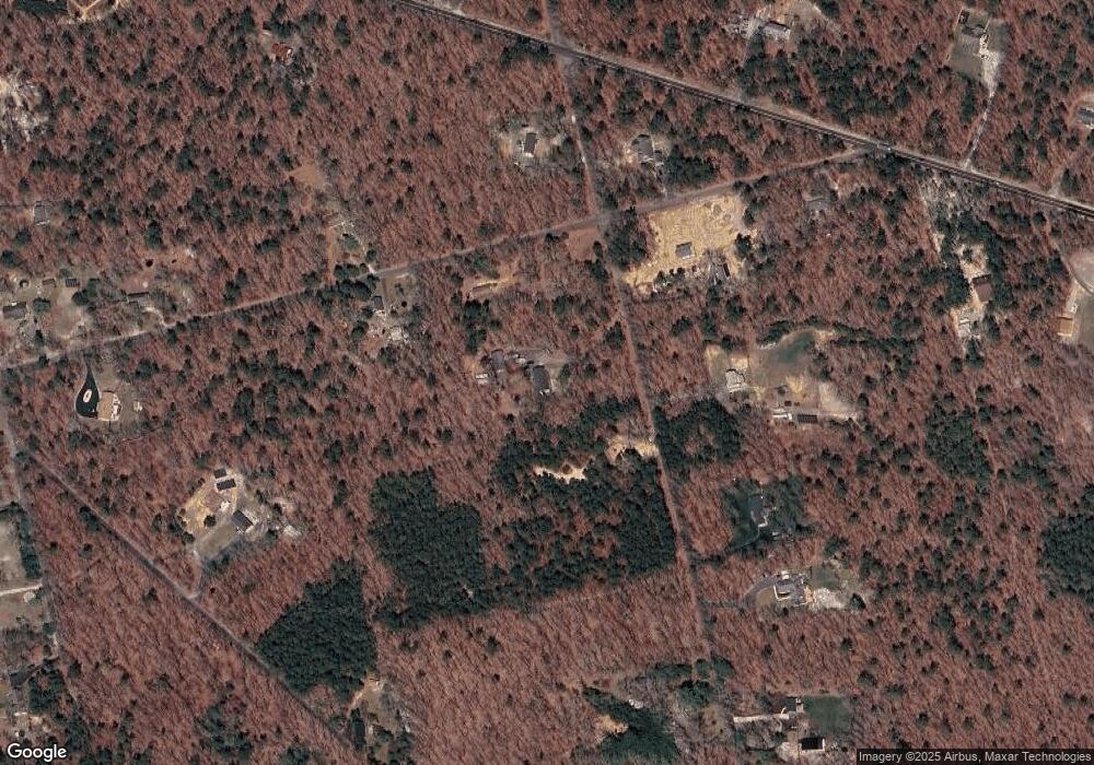
Map
Nearby Homes
- 1 Belmont Ave
- First 1st Ave
- 7322 Black Horse Pike
- 1930 Mccall Ave
- 7390 Black Horse Pike
- 7411 Black Horse Pike
- 7415 3rd Ave
- 1601 Mccall Ave
- 7417 3rd Ave
- 1516 Thirty Third St
- 0 0 Strand Ave
- 2015 High Bank Rd
- 0 St Petersburg Ave Unit NJAC2011842
- 0 St Petersburg Ave Unit NJAC2011840
- 7571 Strand Ave
- 7340 Venice Blvd
- 0 Division Ave
- 1362 Annapolis Ave
- 6917 Market St
- 0 San Francisco Ave