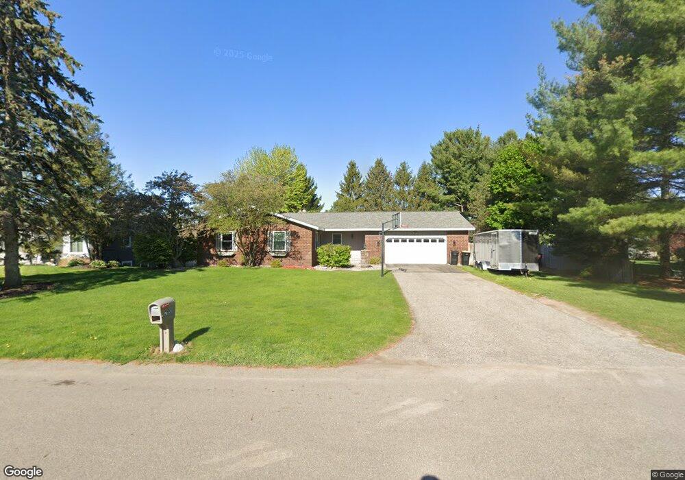
7193 Michael Dr Hudsonville, MI 49426
Estimated Value: $399,000 - $413,000
3
Beds
3
Baths
1,700
Sq Ft
$238/Sq Ft
Est. Value
About This Home
This home is located at 7193 Michael Dr, Hudsonville, MI 49426 and is currently estimated at $404,816, approximately $238 per square foot. 7193 Michael Dr is a home located in Ottawa County with nearby schools including Baldwin Street Middle School, Hudsonville Freshman Campus, and Hudsonville High School.
Create a Home Valuation Report for This Property
The Home Valuation Report is an in-depth analysis detailing your home's value as well as a comparison with similar homes in the area
Home Values in the Area
Average Home Value in this Area
Tax History Compared to Growth
Tax History
| Year | Tax Paid | Tax Assessment Tax Assessment Total Assessment is a certain percentage of the fair market value that is determined by local assessors to be the total taxable value of land and additions on the property. | Land | Improvement |
|---|---|---|---|---|
| 2025 | $2,957 | $186,100 | $0 | $0 |
| 2024 | $2,559 | $168,700 | $0 | $0 |
| 2023 | $2,444 | $160,100 | $0 | $0 |
| 2022 | $2,686 | $141,900 | $0 | $0 |
| 2021 | $2,609 | $134,700 | $0 | $0 |
| 2020 | $2,582 | $124,200 | $0 | $0 |
| 2019 | $2,586 | $120,000 | $0 | $0 |
| 2018 | $2,411 | $116,900 | $0 | $0 |
| 2017 | $2,367 | $116,100 | $0 | $0 |
| 2016 | $2,353 | $105,400 | $0 | $0 |
| 2015 | $2,246 | $100,200 | $0 | $0 |
| 2014 | $2,246 | $88,000 | $0 | $0 |
Source: Public Records
Map
Nearby Homes
- 7381 Rolling Hills Dr
- 7313 Valhalla Dr
- 2921 N Wentward Ct
- 6760 N Wentward Ct
- 7318 Alycia Dr
- 6722 N Wentward Ct Unit 77
- 2698 Cedargrove N
- 6714 Cedar Grove W
- 3528 Tearose Dr
- 2682 Thrush Dr
- 6724 28th Ave
- 2934 Parkside Dr Unit 54
- 2323 Rosewood St
- 3617 Teton Dr
- 7490 N Garden Ct
- V/L Port Sheldon St
- 3204 Port Sheldon St
- 2194 Oak Hollow Dr
- 7502 22nd Ave
- 7342 Cherry Ave
- 7179 Michael Dr
- 2948 Rolling Hills Ct
- 7194 Rolling Hills Dr
- 7180 Rolling Hills Dr
- 7165 Michael Dr
- 7194 Michael Dr
- 2960 Rolling Hills Ct
- 7166 Rolling Hills Dr
- 2934 Rolling Hills Ct
- 7151 Michael Dr
- 2932 Michael Ct
- 2919 Michael Ct
- 7152 Rolling Hills Dr
- 7193 Rolling Hills Dr
- 2920 Rolling Hills Ct
- 7179 Rolling Hills Dr
- 2945 Rolling Hills Ct
- 7203 Rolling Hills Dr
- 2953 Rolling Hills Ct
- 2937 Rolling Hills Ct