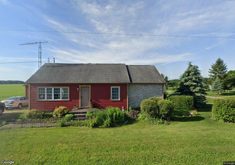
7193 State Route 722 Arcanum, OH 45304
Estimated Value: $220,806 - $290,000
2
Beds
2
Baths
1,524
Sq Ft
$167/Sq Ft
Est. Value
About This Home
This home is located at 7193 State Route 722, Arcanum, OH 45304 and is currently estimated at $253,952, approximately $166 per square foot. 7193 State Route 722 is a home located in Darke County with nearby schools including Arcanum Elementary School, Butler Middle School, and Arcanum High School.
Ownership History
Date
Name
Owned For
Owner Type
Purchase Details
Closed on
Jun 2, 2023
Sold by
Orr Todd W
Bought by
Orr Melissa K
Current Estimated Value
Purchase Details
Closed on
Dec 21, 2019
Sold by
Weisenbarger John and John Weisenbarger Revocable Tr
Bought by
Orr Todd W and Orr Melissa K
Home Financials for this Owner
Home Financials are based on the most recent Mortgage that was taken out on this home.
Original Mortgage
$93,500
Interest Rate
3.7%
Mortgage Type
New Conventional
Purchase Details
Closed on
Dec 20, 2011
Sold by
Weisenbarger John and Weisenbarger Nancy
Bought by
Weisenbarger Nancy and The Nancy Weisenbarger Revocable Trust
Purchase Details
Closed on
Jul 29, 2003
Sold by
Fourman H Royer and Fourman Maxine Evelyn
Bought by
Weisenbarger John and Weisenbarger Nancy
Purchase Details
Closed on
Dec 1, 1986
Bought by
Weisenbarger John Trustee Of The John We
Create a Home Valuation Report for This Property
The Home Valuation Report is an in-depth analysis detailing your home's value as well as a comparison with similar homes in the area
Home Values in the Area
Average Home Value in this Area
Purchase History
| Date | Buyer | Sale Price | Title Company |
|---|---|---|---|
| Orr Melissa K | -- | None Listed On Document | |
| Orr Todd W | $150,000 | None Available | |
| Weisenbarger Nancy | -- | Attorney | |
| Weisenbarger John | -- | Attorney | |
| Weisenbarger John | $28,000 | -- | |
| Weisenbarger John Trustee Of The John We | $10,000 | -- |
Source: Public Records
Mortgage History
| Date | Status | Borrower | Loan Amount |
|---|---|---|---|
| Previous Owner | Orr Todd W | $93,500 |
Source: Public Records
Tax History Compared to Growth
Tax History
| Year | Tax Paid | Tax Assessment Tax Assessment Total Assessment is a certain percentage of the fair market value that is determined by local assessors to be the total taxable value of land and additions on the property. | Land | Improvement |
|---|---|---|---|---|
| 2024 | $2,302 | $66,440 | $4,880 | $61,560 |
| 2023 | $2,305 | $66,440 | $4,880 | $61,560 |
| 2022 | $1,987 | $51,500 | $4,070 | $47,430 |
| 2021 | $2,004 | $51,500 | $4,070 | $47,430 |
| 2020 | $1,941 | $51,500 | $4,070 | $47,430 |
| 2019 | $1,179 | $40,080 | $4,480 | $35,600 |
| 2018 | $1,170 | $40,080 | $4,480 | $35,600 |
| 2017 | $1,092 | $40,080 | $4,480 | $35,600 |
| 2016 | $1,093 | $39,660 | $4,480 | $35,180 |
| 2015 | $1,093 | $39,660 | $4,480 | $35,180 |
| 2014 | $1,107 | $39,660 | $4,480 | $35,180 |
| 2013 | $1,040 | $36,240 | $4,260 | $31,980 |
Source: Public Records
Map
Nearby Homes
- 140 State Route 503
- 610 Pearl St
- 620 Pearl St
- 0 Ohio 722 Unit 10051560
- 0 Ohio 722 Unit 10 Acres 1040185
- 0 Ohio 722 Unit 938536
- 0 Ohio 722
- 6806 Darke-Preble County Line Rd
- 693 Friday Rd
- 0 Friday Rd
- 6254 State Route 722
- 10995 Rockridge Rd
- 7163 Georgetown Verona Rd
- 6051 Sonora Rd
- 9517 Verona Rd
- 8784 Grubbs Rex Rd
- 1486 Ohio 49
- 2012 Ohio 49
- 6977 Alternate State Route 49
- 303 E 1st St
- 7185 State Route 722
- 7224 State Route 722
- 7283 State Route 722
- 7079 State Route 722
- 7033 State Route 722
- 7086 Ohio 722
- 7086 State Route 722
- 6976 Ohio 722
- 6999 State Route 722
- 6976 State Route 722
- 6976 St Rt 722
- 6976 722
- 217 State Route 503
- 6919 State Route 722
- 289 State Route 503
- 0 State Route 722 Unit 938536
- 6907 State Route 722
- 235 State Route 503
- 285 State Route 503
- 6871 State Route 722