7195 Blackmar Rd Birch Run, MI 48415
Estimated Value: $130,000 - $214,000
3
Beds
1
Bath
960
Sq Ft
$186/Sq Ft
Est. Value
About This Home
This home is located at 7195 Blackmar Rd, Birch Run, MI 48415 and is currently estimated at $178,354, approximately $185 per square foot. 7195 Blackmar Rd is a home located in Saginaw County with nearby schools including Thomas White School, Martin G. Atkins Elementary School, and Bridgeport High School.
Ownership History
Date
Name
Owned For
Owner Type
Purchase Details
Closed on
May 30, 2024
Sold by
Popp Joann E and Psiuk Lorraine E
Bought by
Popp James
Current Estimated Value
Home Financials for this Owner
Home Financials are based on the most recent Mortgage that was taken out on this home.
Original Mortgage
$211,694
Outstanding Balance
$209,069
Interest Rate
7.17%
Mortgage Type
FHA
Estimated Equity
-$30,715
Purchase Details
Closed on
Aug 22, 2019
Sold by
Giltrop Joseph R
Bought by
Giltrop Joseph R
Create a Home Valuation Report for This Property
The Home Valuation Report is an in-depth analysis detailing your home's value as well as a comparison with similar homes in the area
Home Values in the Area
Average Home Value in this Area
Purchase History
| Date | Buyer | Sale Price | Title Company |
|---|---|---|---|
| Popp James | $100,000 | Homeland Title Services | |
| Giltrop Joseph R | -- | None Available |
Source: Public Records
Mortgage History
| Date | Status | Borrower | Loan Amount |
|---|---|---|---|
| Open | Popp James | $211,694 |
Source: Public Records
Tax History Compared to Growth
Tax History
| Year | Tax Paid | Tax Assessment Tax Assessment Total Assessment is a certain percentage of the fair market value that is determined by local assessors to be the total taxable value of land and additions on the property. | Land | Improvement |
|---|---|---|---|---|
| 2025 | $2,516 | $72,500 | $0 | $0 |
| 2024 | $445 | $66,200 | $0 | $0 |
| 2023 | $424 | $51,400 | $0 | $0 |
| 2022 | $1,514 | $47,100 | $0 | $0 |
| 2021 | $1,368 | $41,700 | $0 | $0 |
| 2020 | $1,331 | $38,800 | $0 | $0 |
| 2019 | $1,266 | $36,700 | $8,700 | $28,000 |
| 2018 | $369 | $37,500 | $0 | $0 |
| 2017 | $1,148 | $35,500 | $0 | $0 |
| 2016 | $1,237 | $34,600 | $0 | $0 |
| 2014 | -- | $32,900 | $0 | $23,000 |
| 2013 | -- | $32,800 | $0 | $0 |
Source: Public Records
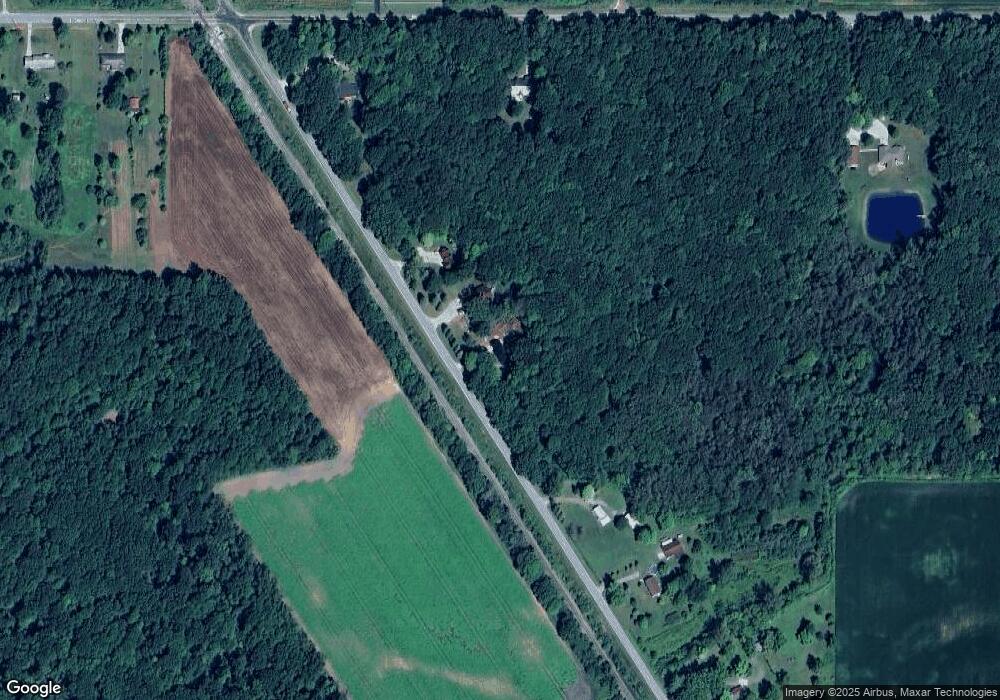
Map
Nearby Homes
- 3875 Curtis Rd
- 7720 Rookway Rd
- VL Fort Rd
- 4333 Riverview Dr
- 6580 Bell Rd
- Parcel E W Rolling Hills Dr
- Parcel B W Rolling Hills Dr
- Parcel D W Rolling Hills Dr
- Parcel F W Rolling Hills Dr
- Parcel C W Rolling Hills Dr
- 3130 E Moore Rd
- 5430 Busch Rd
- 6605 Bridgeport Hwy
- 6412 Tin Lizzy Ln
- 9750 Marshall Rd
- 6250 Dixie Hwy
- 7110 Townline Rd
- 7965 Dixie Hwy
- 4828 Rathbun Rd
- 3002 Boice Dr
- 7145 Blackmar Rd
- 7261 Blackmar Rd
- 7305 Blackmar Rd
- 4800 Curtis Rd
- 7387 Blackmar Rd
- 7387 Blackmar Rd
- 7387 Blackmar Rd
- 4490 Curtis Rd
- 4045 Curtis Rd
- 4171 Curtis Rd
- 4045 Curtis Rd
- 4301 Curtis Rd
- 4551 Curtis Rd
- 4171 Curtis Rd
- 4806 Curtis Rd
- 4360 Curtis Rd
- 4360 Curtis Rd
- 4330 Curtis Rd
- 4330 Curtis Rd
- 4258 Curtis Rd