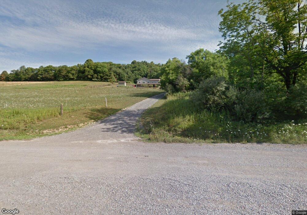
7197 Roy Andrews Rd NW New Philadelphia, OH 44663
Estimated Value: $380,000 - $538,343
2
Beds
1
Bath
1,536
Sq Ft
$299/Sq Ft
Est. Value
About This Home
This home is located at 7197 Roy Andrews Rd NW, New Philadelphia, OH 44663 and is currently estimated at $459,172, approximately $298 per square foot. 7197 Roy Andrews Rd NW is a home located in Tuscarawas County with nearby schools including Garaway High School, Sand Hill School, and Stony Point School.
Ownership History
Date
Name
Owned For
Owner Type
Purchase Details
Closed on
Oct 10, 2017
Sold by
Yoder Allen M and Yoder Leah A
Bought by
Yoder Aaron M and Yoder Rachel
Current Estimated Value
Home Financials for this Owner
Home Financials are based on the most recent Mortgage that was taken out on this home.
Original Mortgage
$160,000
Interest Rate
3.5%
Mortgage Type
VA
Create a Home Valuation Report for This Property
The Home Valuation Report is an in-depth analysis detailing your home's value as well as a comparison with similar homes in the area
Home Values in the Area
Average Home Value in this Area
Purchase History
| Date | Buyer | Sale Price | Title Company |
|---|---|---|---|
| Yoder Aaron M | $300,000 | Monroe St Title |
Source: Public Records
Mortgage History
| Date | Status | Borrower | Loan Amount |
|---|---|---|---|
| Closed | Yoder Aaron M | $160,000 |
Source: Public Records
Tax History Compared to Growth
Tax History
| Year | Tax Paid | Tax Assessment Tax Assessment Total Assessment is a certain percentage of the fair market value that is determined by local assessors to be the total taxable value of land and additions on the property. | Land | Improvement |
|---|---|---|---|---|
| 2024 | $1,982 | $78,540 | $42,190 | $36,350 |
| 2023 | $1,982 | $224,390 | $120,540 | $103,850 |
| 2022 | $1,982 | $78,537 | $42,189 | $36,348 |
| 2021 | $1,655 | $47,058 | $20,545 | $26,513 |
| 2020 | $1,660 | $47,058 | $20,545 | $26,513 |
| 2019 | $1,654 | $47,058 | $20,545 | $26,513 |
| 2018 | $1,314 | $39,260 | $17,140 | $22,120 |
| 2017 | $1,314 | $39,260 | $17,140 | $22,120 |
| 2016 | $1,317 | $39,260 | $17,140 | $22,120 |
| 2014 | $1,332 | $38,130 | $14,910 | $23,220 |
| 2013 | $1,300 | $38,130 | $14,910 | $23,220 |
Source: Public Records
Map
Nearby Homes
- 5827 Old Route 39 NW
- 191 Heritage Crossing SE
- 201 Parkhill Dr NE
- 2969 Hope Springs Dr NW
- 264 Pleasant Valley Rd NW
- 430 Bahler St SW
- 0 W Main St Unit 5163516
- 0 W Main St Unit 5163469
- 806 W Main St
- 0 W Main Street Rear
- 0 Miller Ave SW
- 0 Miller Ave SW
- 0 Miller Ave SW
- 0 SW Main St Rear
- 834 Geneva St SW
- 5181 State Route 516 NW
- 128 Rhine St SW
- 325 Lugano St SW
- 4029 Minard Rd NW
- 3265 Yorkview Rd SW
- 7102 Roy Andrews Rd NW
- 7353 Roy Andrews Rd NW
- 7311 Roy Andrews Rd NW
- 6845 Roy Andrews Rd NW
- 7689 Roy Andrews Rd NW
- 7517 Roy Andrews Rd NW
- 7579 Roy Andrews Rd NW
- 7547 Roy Andrews Rd NW
- 6675 Roy Andrews Rd NW
- 7506 Roy Andrews Rd NW
- 6807 Roy Andrews Rd NW
- 6946 Old Route 39 NW
- 6940 Old Route 39 NW
- 7501 Roy Andrews Rd NW
- 6628 Roy Andrews Rd NW
- 6950 Old Route 39 NW
- 6593 Roy Andrews Rd NW
- 6756 Roy Andrews Rd NW
- 6934 Old Route 39 NW
- 6930 Old Route 39 NW