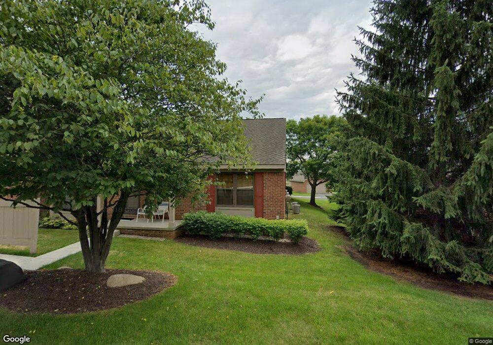
7198 Huntcliff Unit 78 West Bloomfield, MI 48322
Estimated Value: $282,741 - $296,000
2
Beds
2
Baths
1,255
Sq Ft
$231/Sq Ft
Est. Value
About This Home
This home is located at 7198 Huntcliff Unit 78, West Bloomfield, MI 48322 and is currently estimated at $290,435, approximately $231 per square foot. 7198 Huntcliff Unit 78 is a home located in Oakland County with nearby schools including Meadowbrook Elementary School, James R Geisler Middle School, and Walled Lake Western High School.
Ownership History
Date
Name
Owned For
Owner Type
Purchase Details
Closed on
Oct 19, 2007
Sold by
Mortgage Electronic Registration Systems
Bought by
Langston Ollie L and Langston Beverly A
Current Estimated Value
Purchase Details
Closed on
Aug 15, 2006
Sold by
Dorman Deborah L
Bought by
Mortgage Electronic Registration Systems
Purchase Details
Closed on
Jun 11, 2001
Sold by
Theodore T Saretsky Tr
Bought by
Dorman Alvin
Home Financials for this Owner
Home Financials are based on the most recent Mortgage that was taken out on this home.
Original Mortgage
$160,000
Interest Rate
7.22%
Purchase Details
Closed on
Dec 20, 2000
Sold by
Saretsky Theodore T
Bought by
Theodore T Saretsky Tr
Create a Home Valuation Report for This Property
The Home Valuation Report is an in-depth analysis detailing your home's value as well as a comparison with similar homes in the area
Home Values in the Area
Average Home Value in this Area
Purchase History
| Date | Buyer | Sale Price | Title Company |
|---|---|---|---|
| Langston Ollie L | $134,900 | Attorneys Title Agency Llc | |
| Mortgage Electronic Registration Systems | $148,500 | None Available | |
| Dorman Alvin | $200,000 | -- | |
| Theodore T Saretsky Tr | -- | -- |
Source: Public Records
Mortgage History
| Date | Status | Borrower | Loan Amount |
|---|---|---|---|
| Previous Owner | Dorman Alvin | $160,000 |
Source: Public Records
Tax History
| Year | Tax Paid | Tax Assessment Tax Assessment Total Assessment is a certain percentage of the fair market value that is determined by local assessors to be the total taxable value of land and additions on the property. | Land | Improvement |
|---|---|---|---|---|
| 2025 | $2,502 | $141,850 | $12,500 | $129,350 |
| 2024 | $1,439 | $136,260 | $0 | $0 |
| 2022 | $1,357 | $116,720 | $12,500 | $104,220 |
| 2021 | $2,256 | $111,950 | $0 | $0 |
| 2020 | $1,341 | $108,670 | $12,500 | $96,170 |
| 2018 | $2,224 | $95,090 | $12,500 | $82,590 |
| 2015 | -- | $71,260 | $0 | $0 |
| 2014 | -- | $62,790 | $0 | $0 |
| 2011 | -- | $58,020 | $0 | $0 |
Source: Public Records
Map
Nearby Homes
- 7276 Somerby
- 7252 Huntcliff
- 7288 Danbrooke Unit 125
- 7127 Danbrooke
- 7056 Green Farm Rd
- 7154 Westchester Unit 122
- 7440 Azalea Ct
- 31189 Country Ridge Cir
- 36758 Valley Ridge Dr
- 6621 Glenshaw Ct
- 7408 Westbury Blvd
- 31281 Country Ridge Cir
- 6642 Carlyle Ct
- 31085 Estate Woods Ct
- 6901 Reed Ct
- 7863 Woodingham
- 7147 Elmhurst Unit 23
- 6517 Chelsea Bridge
- 6986 Crosswell Dr
- 31208 Country Way
- 7199 Sturnbridge Unit 155
- 7238 Huntcliff
- 7162 Huntcliff
- 7162 Huntcliff Unit 86
- 7209 Huntcliff
- 7237 Somerby
- 7223 Huntcliff Unit 163
- 7183 Huntcliff Ct
- 7199 Huntcliff Ct
- 7248 Huntcliff
- 7239 Huntcliff
- 7255 Somerby Unit 150
- 7173 Huntcliff Ct Unit 173
- 7170 Danbrooke Unit 95
- 7249 Huntcliff
- 7234 Danbrooke
- 7118 Danbrooke Unit 241
- 7142 Danbrooke Unit 244
- 7142 Danbrooke Unit 41 244
- 7266 Huntcliff
Your Personal Tour Guide
Ask me questions while you tour the home.