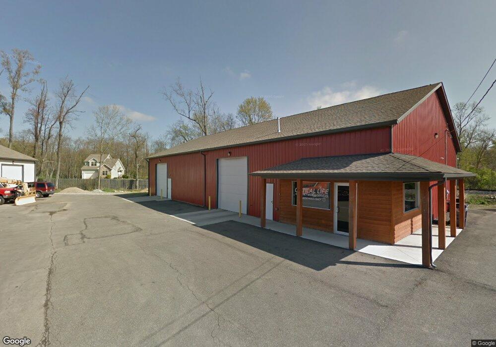
72 Anthony Dr Unit 72 Newark, OH 43055
Studio
--
Bath
4,600
Sq Ft
103,673
Sq Ft Lot
About This Home
This home is located at 72 Anthony Dr Unit 72, Newark, OH 43055. 72 Anthony Dr Unit 72 is a home located in Licking County with nearby schools including Hillview Elementary School, Heritage Middle School, and Newark High School.
Ownership History
Date
Name
Owned For
Owner Type
Purchase Details
Closed on
Jul 14, 2020
Sold by
Angeletti Services Llc
Bought by
Terry Family Llc
Home Financials for this Owner
Home Financials are based on the most recent Mortgage that was taken out on this home.
Original Mortgage
$1,000,000
Outstanding Balance
$886,734
Interest Rate
3.1%
Mortgage Type
Commercial
Purchase Details
Closed on
May 9, 2018
Sold by
Angeletti Services Llc
Bought by
Angeletti Services Llc
Create a Home Valuation Report for This Property
The Home Valuation Report is an in-depth analysis detailing your home's value as well as a comparison with similar homes in the area
Home Values in the Area
Average Home Value in this Area
Purchase History
| Date | Buyer | Sale Price | Title Company |
|---|---|---|---|
| Terry Family Llc | $1,500,000 | None Available | |
| Angeletti Services Llc | -- | None Available |
Source: Public Records
Mortgage History
| Date | Status | Borrower | Loan Amount |
|---|---|---|---|
| Open | Terry Family Llc | $1,000,000 |
Source: Public Records
Tax History
| Year | Tax Paid | Tax Assessment Tax Assessment Total Assessment is a certain percentage of the fair market value that is determined by local assessors to be the total taxable value of land and additions on the property. | Land | Improvement |
|---|---|---|---|---|
| 2024 | $12,120 | $293,090 | $83,300 | $209,790 |
| 2023 | $7,056 | $293,090 | $83,300 | $209,790 |
| 2022 | $10,076 | $209,270 | $63,600 | $145,670 |
| 2021 | $10,608 | $209,270 | $63,600 | $145,670 |
| 2020 | $10,919 | $209,270 | $63,600 | $145,670 |
| 2019 | $10,864 | $209,270 | $63,600 | $145,670 |
| 2018 | $10,942 | $0 | $0 | $0 |
| 2017 | $10,104 | $0 | $0 | $0 |
| 2016 | $12,102 | $0 | $0 | $0 |
| 2015 | $6,195 | $0 | $0 | $0 |
| 2014 | -- | $0 | $0 | $0 |
| 2013 | $5,933 | $0 | $0 | $0 |
Source: Public Records
Map
Nearby Homes
- 15 W Postal Ave
- 20 Cherry St
- 158 English Ave
- 49 E Channel St
- 667 Maple Ave
- 655 Evans St
- 222 Bachmann Ave
- 189 N Quentin Rd
- 161 E Postal Ave
- 160 E Channel St
- 34 Charles St
- 11 Waterworks Rd
- 441 Mount Vernon Rd
- 469 King Ct
- 0 Mount Vernon Rd
- 27 W North St
- 122 W Shields St
- 385 Woods Ave
- 355 Eddy St
- 101 Myrtle Ave
Your Personal Tour Guide
Ask me questions while you tour the home.