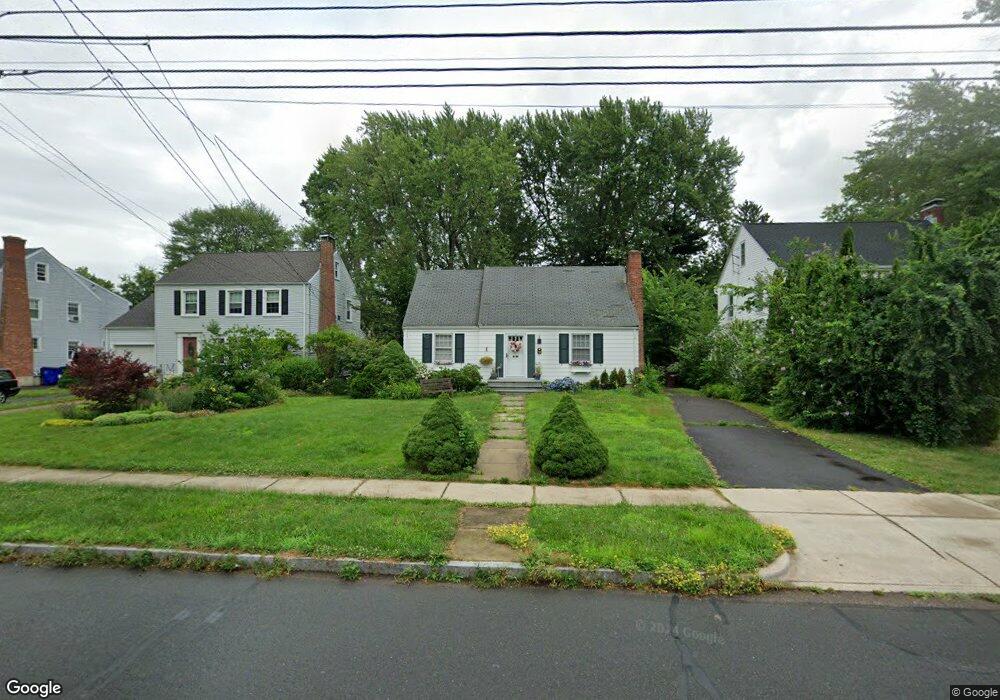
72 Arnoldale Rd West Hartford, CT 06119
Estimated Value: $343,884 - $377,000
2
Beds
1
Bath
1,110
Sq Ft
$328/Sq Ft
Est. Value
About This Home
This home is located at 72 Arnoldale Rd, West Hartford, CT 06119 and is currently estimated at $364,471, approximately $328 per square foot. 72 Arnoldale Rd is a home located in Hartford County with nearby schools including Whiting Lane School, Adams Elementary School, and King Philip Middle School.
Ownership History
Date
Name
Owned For
Owner Type
Purchase Details
Closed on
Aug 30, 1991
Sold by
Keegan Bernard Est
Bought by
Dix Bruce and Dix Janice
Current Estimated Value
Home Financials for this Owner
Home Financials are based on the most recent Mortgage that was taken out on this home.
Original Mortgage
$90,000
Interest Rate
7%
Mortgage Type
Unknown
Create a Home Valuation Report for This Property
The Home Valuation Report is an in-depth analysis detailing your home's value as well as a comparison with similar homes in the area
Home Values in the Area
Average Home Value in this Area
Purchase History
| Date | Buyer | Sale Price | Title Company |
|---|---|---|---|
| Dix Bruce | $135,000 | -- |
Source: Public Records
Mortgage History
| Date | Status | Borrower | Loan Amount |
|---|---|---|---|
| Open | Dix Bruce | $236,840 | |
| Closed | Dix Bruce | $20,668 | |
| Closed | Dix Bruce | $15,000 | |
| Closed | Dix Bruce | $90,000 |
Source: Public Records
Tax History Compared to Growth
Tax History
| Year | Tax Paid | Tax Assessment Tax Assessment Total Assessment is a certain percentage of the fair market value that is determined by local assessors to be the total taxable value of land and additions on the property. | Land | Improvement |
|---|---|---|---|---|
| 2025 | $6,677 | $149,100 | $87,500 | $61,600 |
| 2024 | $6,314 | $149,100 | $87,500 | $61,600 |
| 2023 | $6,101 | $149,100 | $87,500 | $61,600 |
| 2022 | $6,373 | $156,660 | $87,500 | $69,160 |
| 2021 | $6,058 | $142,800 | $86,170 | $56,630 |
| 2020 | $5,378 | $128,660 | $73,920 | $54,740 |
| 2019 | $5,378 | $128,660 | $73,920 | $54,740 |
| 2018 | $5,275 | $128,660 | $73,920 | $54,740 |
| 2017 | $5,280 | $128,660 | $73,920 | $54,740 |
| 2016 | $5,672 | $143,570 | $68,740 | $74,830 |
| 2015 | $5,500 | $143,570 | $68,740 | $74,830 |
| 2014 | $5,365 | $143,570 | $68,740 | $74,830 |
Source: Public Records
Map
Nearby Homes
- 39 Fairlawn St
- 16 Lockwood Terrace
- 11 Crosby St
- 478 Prospect Ave
- 518 Prospect Ave
- 102 Oakwood Ave Unit B5
- 16 Lilley Rd
- 102 Rowe Ave
- 90-92 Rowe Ave
- 89 Price Blvd
- 48 Walkley Rd
- 54 James St Unit 56
- 126 Heath St
- 136 Kane St Unit B10
- 2 Rodney St
- 395 Park Rd
- 50 Acadia St
- 237 Fern St Unit 314
- 59 Milton St
- 100 Kane St Unit D10
- 68 Arnoldale Rd
- 74 Arnoldale Rd
- 66 Arnoldale Rd
- 1168 Boulevard
- 1174 Boulevard
- 1166 Boulevard
- 1178 Boulevard
- 1178 Boulevard
- 1178 Boulevard Unit 2
- 71 Beverly Rd
- 64 Arnoldale Rd
- 69 Beverly Rd
- 73 Beverly Rd
- 67 Beverly Rd
- 62 Arnoldale Rd
- 77 Beverly Rd
- 69 Arnoldale Rd
- 71 Arnoldale Rd
- 65 Beverly Rd
- 67 Arnoldale Rd