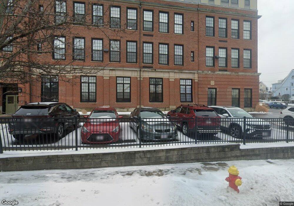
72 Ashland St Unit 207 Malden, MA 02148
Belmont NeighborhoodEstimated Value: $546,000 - $646,000
2
Beds
2
Baths
1,084
Sq Ft
$534/Sq Ft
Est. Value
About This Home
This home is located at 72 Ashland St Unit 207, Malden, MA 02148 and is currently estimated at $578,822, approximately $533 per square foot. 72 Ashland St Unit 207 is a home located in Middlesex County with nearby schools including Malden High School, Pioneer Charter School of Science, and Cheverus Catholic School.
Ownership History
Date
Name
Owned For
Owner Type
Purchase Details
Closed on
Jul 20, 2004
Sold by
Belmont Condominiums L
Bought by
Moultrie Angela M
Current Estimated Value
Home Financials for this Owner
Home Financials are based on the most recent Mortgage that was taken out on this home.
Original Mortgage
$254,400
Outstanding Balance
$127,343
Interest Rate
6.25%
Mortgage Type
Purchase Money Mortgage
Estimated Equity
$451,479
Create a Home Valuation Report for This Property
The Home Valuation Report is an in-depth analysis detailing your home's value as well as a comparison with similar homes in the area
Home Values in the Area
Average Home Value in this Area
Purchase History
| Date | Buyer | Sale Price | Title Company |
|---|---|---|---|
| Moultrie Angela M | $318,039 | -- |
Source: Public Records
Mortgage History
| Date | Status | Borrower | Loan Amount |
|---|---|---|---|
| Open | Moultrie Angela M | $254,400 |
Source: Public Records
Tax History Compared to Growth
Tax History
| Year | Tax Paid | Tax Assessment Tax Assessment Total Assessment is a certain percentage of the fair market value that is determined by local assessors to be the total taxable value of land and additions on the property. | Land | Improvement |
|---|---|---|---|---|
| 2025 | $56 | $490,600 | $0 | $490,600 |
| 2024 | $5,342 | $457,000 | $0 | $457,000 |
| 2023 | $5,277 | $432,900 | $0 | $432,900 |
| 2022 | $4,907 | $397,300 | $0 | $397,300 |
| 2021 | $5,095 | $414,600 | $0 | $414,600 |
| 2020 | $4,837 | $382,400 | $0 | $382,400 |
| 2019 | $5,653 | $426,000 | $0 | $426,000 |
| 2018 | $5,664 | $402,000 | $0 | $402,000 |
| 2017 | $5,280 | $372,600 | $0 | $372,600 |
| 2016 | $5,242 | $345,800 | $0 | $345,800 |
| 2015 | $5,068 | $322,200 | $0 | $322,200 |
| 2014 | $4,632 | $287,700 | $0 | $287,700 |
Source: Public Records
Map
Nearby Homes
- 72 Ashland St Unit 307
- 89 Judson St
- 4 Cross St Unit 1
- 44 Stevens St
- 23 Pratt St
- 17 Garland Ave
- 80 Main St Unit 9
- 15-17 Barrett St
- 55 Clarendon St
- 23 Upham St
- 13-15 Benner Ave
- 28 Shawmut St
- 153A Belmont St
- 67 Converse Ave Unit 69
- 16 Boylston St
- 210 Hancock St
- 74 Madison St
- 100 Medford St
- 58 Regent Rd
- 98 Bradford St
- 72 Ashland St Unit 410
- 72 Ashland St Unit 409
- 72 Ashland St Unit 408
- 72 Ashland St Unit 407
- 72 Ashland St Unit 406
- 72 Ashland St Unit 405
- 72 Ashland St Unit 404
- 72 Ashland St Unit 403
- 72 Ashland St Unit 402
- 72 Ashland St Unit 401
- 72 Ashland St Unit 308
- 72 Ashland St Unit 306
- 72 Ashland St Unit 305
- 72 Ashland St Unit 304
- 72 Ashland St Unit 302
- 72 Ashland St Unit 301
- 72 Ashland St Unit 210
- 72 Ashland St Unit 209
- 72 Ashland St Unit 208
- 72 Ashland St Unit 206