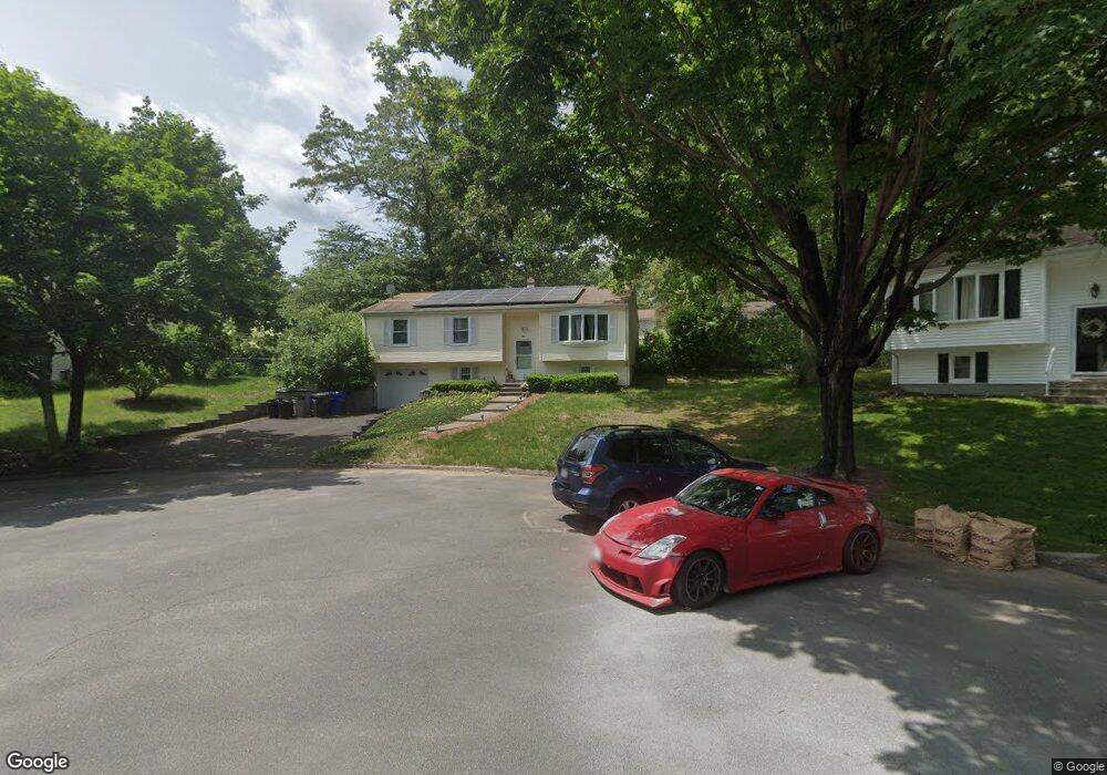
72 Baird Trace Springfield, MA 01118
East Forest Park NeighborhoodEstimated Value: $337,000 - $339,000
3
Beds
2
Baths
1,132
Sq Ft
$298/Sq Ft
Est. Value
About This Home
This home is located at 72 Baird Trace, Springfield, MA 01118 and is currently estimated at $337,902, approximately $298 per square foot. 72 Baird Trace is a home located in Hampden County with nearby schools including Frederick Harris Elementary School, M Marcus Kiley Middle, and Springfield High School of Science and Technology.
Ownership History
Date
Name
Owned For
Owner Type
Purchase Details
Closed on
Nov 13, 2008
Sold by
Vidomanets Arkady and Vidomanets Vera
Bought by
Viess Yury and Viess Vladimir
Current Estimated Value
Purchase Details
Closed on
Mar 13, 1981
Bought by
Viess Arkady and Viess Vera
Create a Home Valuation Report for This Property
The Home Valuation Report is an in-depth analysis detailing your home's value as well as a comparison with similar homes in the area
Home Values in the Area
Average Home Value in this Area
Purchase History
| Date | Buyer | Sale Price | Title Company |
|---|---|---|---|
| Viess Yury | -- | -- | |
| Viess Arkady | $45,600 | -- |
Source: Public Records
Mortgage History
| Date | Status | Borrower | Loan Amount |
|---|---|---|---|
| Previous Owner | Viess Arkady | $50,000 | |
| Previous Owner | Viess Arkady | $40,000 | |
| Previous Owner | Viess Arkady | $40,000 |
Source: Public Records
Tax History
| Year | Tax Paid | Tax Assessment Tax Assessment Total Assessment is a certain percentage of the fair market value that is determined by local assessors to be the total taxable value of land and additions on the property. | Land | Improvement |
|---|---|---|---|---|
| 2025 | $4,952 | $315,800 | $52,000 | $263,800 |
| 2024 | $4,601 | $286,500 | $52,000 | $234,500 |
| 2023 | $4,373 | $256,500 | $49,500 | $207,000 |
| 2022 | $4,344 | $230,800 | $49,500 | $181,300 |
| 2021 | $4,321 | $228,600 | $45,000 | $183,600 |
| 2020 | $4,039 | $206,800 | $45,000 | $161,800 |
| 2019 | $3,938 | $200,100 | $45,000 | $155,100 |
| 2018 | $3,794 | $192,800 | $45,000 | $147,800 |
| 2017 | $3,702 | $188,300 | $45,000 | $143,300 |
| 2016 | $3,366 | $171,200 | $45,000 | $126,200 |
| 2015 | $3,267 | $166,100 | $45,000 | $121,100 |
Source: Public Records
Map
Nearby Homes
- 101 Regal St
- 55 Allen St
- 120 Bridle Path Rd
- 49 Corcoran Blvd
- 647 Plumtree Rd
- 19 Manor Ct Unit 19
- 86 Talmadge Dr
- 17 Pebble Mill Rd
- 85 Talmadge Dr
- 24 Wands St
- 509 Plumtree Rd
- 125 Manor Ct Unit 125
- 37 Chesterfield Ave
- 81 W Crystal Brook Dr
- 86 Wildwood Ave
- 206 Treetop Ave
- 55 Old Farm Rd
- 41 Hillside Dr
- 47 Hartford Terrace
- 384 Abbott St
- 64 Baird Trace
- 80 Baird Trace
- 81 Bairdcrest Rd
- 89 Bairdcrest Rd
- 75 Bairdcrest Rd
- 54 Baird Trace
- 79 Baird Trace
- 95 Bairdcrest Rd
- 65 Bairdcrest Rd
- 67 Baird Trace
- 103 Bairdcrest Rd
- 73 Baird Trace
- 20 Baird Trace
- 59 Baird Trace
- 14 Westbanks Ct
- 12 Baird Trace
- 30 Baird Trace
- 6 Baird Trace
- 51 Baird Trace
- 30 Westbank Ct
Your Personal Tour Guide
Ask me questions while you tour the home.