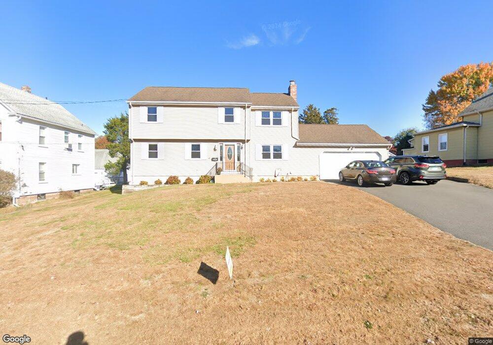
72 Blake Rd New Britain, CT 06053
Estimated Value: $390,000 - $524,204
3
Beds
3
Baths
1,900
Sq Ft
$228/Sq Ft
Est. Value
About This Home
This home is located at 72 Blake Rd, New Britain, CT 06053 and is currently estimated at $433,551, approximately $228 per square foot. 72 Blake Rd is a home located in Hartford County with nearby schools including Holmes School, Pulaski Middle School, and Mountain Laurel Sudbury School.
Ownership History
Date
Name
Owned For
Owner Type
Purchase Details
Closed on
Feb 19, 2023
Sold by
Impellizzeri Cheryl A
Bought by
Amer Intl Relocation Soln
Current Estimated Value
Create a Home Valuation Report for This Property
The Home Valuation Report is an in-depth analysis detailing your home's value as well as a comparison with similar homes in the area
Home Values in the Area
Average Home Value in this Area
Purchase History
| Date | Buyer | Sale Price | Title Company |
|---|---|---|---|
| Amer Intl Relocation Soln | $475,000 | None Available |
Source: Public Records
Tax History
| Year | Tax Paid | Tax Assessment Tax Assessment Total Assessment is a certain percentage of the fair market value that is determined by local assessors to be the total taxable value of land and additions on the property. | Land | Improvement |
|---|---|---|---|---|
| 2025 | $7,564 | $193,060 | $55,930 | $137,130 |
| 2024 | $7,643 | $193,060 | $55,930 | $137,130 |
| 2023 | $7,390 | $193,060 | $55,930 | $137,130 |
| 2022 | $6,480 | $130,900 | $25,760 | $105,140 |
| 2021 | $6,480 | $130,900 | $25,760 | $105,140 |
| 2020 | $6,610 | $130,900 | $25,760 | $105,140 |
| 2019 | $6,610 | $130,900 | $25,760 | $105,140 |
| 2018 | $6,610 | $130,900 | $25,760 | $105,140 |
| 2017 | $6,727 | $133,210 | $23,520 | $109,690 |
| 2016 | $6,727 | $133,210 | $23,520 | $109,690 |
| 2015 | $6,527 | $133,210 | $23,520 | $109,690 |
| 2014 | $6,527 | $133,210 | $23,520 | $109,690 |
Source: Public Records
Map
Nearby Homes
- 432 Mcclintock St
- 24 Pentlow Ave
- 678 Farmington Ave
- 2415 Corbin Ave
- 40 Hutchinson St
- 21 Skipper St
- 482 Commonwealth Ave
- 234 Pierremount Ave
- 23 Lewis Rd
- 14 Acton St
- 154 Allen St
- 55 Allen St
- 182 Francis St
- 53 Park Dr
- 57 Merigold Dr
- 4 Brown St
- 1634 Stanley St
- 45 Atlantic St Unit C
- 39 Pendleton Rd
- 131 Pendleton Rd
Your Personal Tour Guide
Ask me questions while you tour the home.