72 Branstrom Rd Vassalboro, ME 04989
Estimated Value: $346,652 - $415,000
--
Bed
--
Bath
--
Sq Ft
0.55
Acres
About This Home
This home is located at 72 Branstrom Rd, Vassalboro, ME 04989 and is currently estimated at $381,413. 72 Branstrom Rd is a home with nearby schools including Vassalboro Community School and Crown Regional School.
Ownership History
Date
Name
Owned For
Owner Type
Purchase Details
Closed on
Oct 6, 2016
Sold by
Yellick Sandra L
Bought by
Dyason Robert and Dyason Clara F
Current Estimated Value
Home Financials for this Owner
Home Financials are based on the most recent Mortgage that was taken out on this home.
Original Mortgage
$112,000
Outstanding Balance
$71,338
Interest Rate
3.43%
Mortgage Type
New Conventional
Estimated Equity
$310,075
Create a Home Valuation Report for This Property
The Home Valuation Report is an in-depth analysis detailing your home's value as well as a comparison with similar homes in the area
Home Values in the Area
Average Home Value in this Area
Purchase History
| Date | Buyer | Sale Price | Title Company |
|---|---|---|---|
| Dyason Robert | -- | -- |
Source: Public Records
Mortgage History
| Date | Status | Borrower | Loan Amount |
|---|---|---|---|
| Open | Dyason Robert | $112,000 |
Source: Public Records
Tax History Compared to Growth
Tax History
| Year | Tax Paid | Tax Assessment Tax Assessment Total Assessment is a certain percentage of the fair market value that is determined by local assessors to be the total taxable value of land and additions on the property. | Land | Improvement |
|---|---|---|---|---|
| 2024 | $3,542 | $265,700 | $186,700 | $79,000 |
| 2023 | $3,380 | $265,700 | $186,700 | $79,000 |
| 2022 | $3,188 | $221,400 | $155,500 | $65,900 |
| 2021 | $3,170 | $218,900 | $155,500 | $63,400 |
| 2020 | $10 | $186,300 | $155,500 | $30,800 |
| 2019 | $2,672 | $171,300 | $140,600 | $30,700 |
| 2018 | $2,517 | $165,400 | $140,600 | $24,800 |
| 2017 | $2,407 | $165,400 | $140,600 | $24,800 |
| 2016 | $2,208 | $165,400 | $140,600 | $24,800 |
| 2015 | $2,266 | $165,400 | $140,600 | $24,800 |
| 2014 | $2,117 | $165,400 | $140,600 | $24,800 |
| 2013 | $2,407 | $214,900 | $187,400 | $27,500 |
Source: Public Records
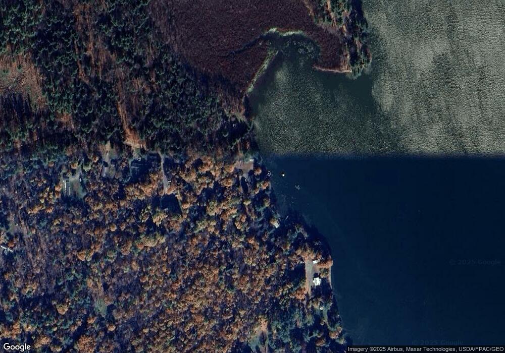
Map
Nearby Homes
- 19 King Rd
- 14 King Rd
- M9 L59 N Belfast Ave
- 332 Stone Rd
- 1650 N Belfast Ave
- 102 Park Ln
- 158 Park Ln
- 169 Park Ln
- 125 Park Ln
- 29 Mudget Hill Rd
- 51 Pit Rd
- 0 Route 3 Unit 1634131
- 0 Route 3 Unit 1614660
- 170 Rockwood Dr
- 139 Maine 3
- 0 Park Ln Unit 1630167
- 282 Pierces Point Rd
- 57 Arnold Rd
- 154 Seaward Mills Rd
- 368 Windsor Rd