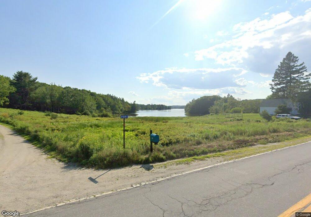
72 Camp Stream Point Ln Sedgwick, ME 04676
Estimated Value: $700,000 - $903,713
3
Beds
4
Baths
2,652
Sq Ft
$314/Sq Ft
Est. Value
About This Home
This home is located at 72 Camp Stream Point Ln, Sedgwick, ME 04676 and is currently estimated at $832,571, approximately $313 per square foot. 72 Camp Stream Point Ln is a home located in Hancock County with nearby schools including Sedgwick Elementary School.
Ownership History
Date
Name
Owned For
Owner Type
Purchase Details
Closed on
Dec 15, 2010
Sold by
Jagger William F
Bought by
Jagger Mary W
Current Estimated Value
Home Financials for this Owner
Home Financials are based on the most recent Mortgage that was taken out on this home.
Original Mortgage
$375,000
Outstanding Balance
$245,945
Interest Rate
4.23%
Mortgage Type
Commercial
Estimated Equity
$586,626
Create a Home Valuation Report for This Property
The Home Valuation Report is an in-depth analysis detailing your home's value as well as a comparison with similar homes in the area
Home Values in the Area
Average Home Value in this Area
Purchase History
| Date | Buyer | Sale Price | Title Company |
|---|---|---|---|
| Jagger Mary W | -- | -- |
Source: Public Records
Mortgage History
| Date | Status | Borrower | Loan Amount |
|---|---|---|---|
| Open | Jagger Mary W | $375,000 |
Source: Public Records
Tax History Compared to Growth
Tax History
| Year | Tax Paid | Tax Assessment Tax Assessment Total Assessment is a certain percentage of the fair market value that is determined by local assessors to be the total taxable value of land and additions on the property. | Land | Improvement |
|---|---|---|---|---|
| 2025 | $8,605 | $1,129,200 | $457,800 | $671,400 |
| 2024 | $8,145 | $542,300 | $188,700 | $353,600 |
| 2023 | $7,646 | $542,300 | $188,700 | $353,600 |
| 2022 | $7,294 | $542,300 | $188,700 | $353,600 |
| 2021 | $7,131 | $542,300 | $188,700 | $353,600 |
| 2020 | $7,354 | $542,300 | $188,700 | $353,600 |
| 2019 | $7,142 | $541,900 | $188,700 | $353,200 |
| 2018 | $7,751 | $640,600 | $270,800 | $369,800 |
| 2017 | $7,463 | $640,600 | $270,800 | $369,800 |
| 2016 | $7,271 | $640,600 | $270,800 | $369,800 |
| 2015 | $6,579 | $640,600 | $270,800 | $369,800 |
| 2014 | $6,611 | $640,600 | $270,800 | $369,800 |
| 2013 | $7,431 | $725,000 | $295,900 | $429,100 |
Source: Public Records
Map
Nearby Homes
- 2 Camp Stream Point Ln
- 565 Bagaduce Rd
- 111 Franks Flat Rd
- 0 Kingdom Rd
- 0 Route 175 Unit 1622156
- 144 Bagaduce Rd
- 48 Douglass Loop
- M15 L23 Varnum Rd
- Map4 Lot26 Graytown Rd
- 107 Acadian Oak Ln
- 435 Parcel 4 Herrick Rd
- 08-02A Sedgwick Ridge Rd
- 539 Sedgwick Ridge Rd
- M27 L69A Beech Hill Rd
- 8 Beech Hill Rd
- Lot #3 Blueberry Ridge Way
- 8 Maslows Square Unit 8
- 10 Maslows Square Unit 10
- 113 Wardwell Point Rd
- 12 Maslow Square Unit 12
- 0 Camp Stream Point Ln Unit 1313765
- 64 Camp Stream Point Ln
- Lot 3 Camp Stream Point Ln
- Lots 2 & 3 Camp Stream Point Ln
- Lot 2 Camp Stream Point Ln
- 73 Bear Head Rd
- 40-5 Camp Stream Point Ln
- 93B Bear Head Rd
- 000 Bear Head Rd
- 00 Bear Head Rd
- 93 Bear Head Rd
- 30 Bear Head Rd
- 1 Camp Stream Point Ln
- 342 Graytown Rd
- 5 Camp Stream Point Rd
- 284 Graytown Rd
- Lot #3 Camp Stream Point
- 3 Camp Stream Point
- 298 Graytown Rd
- 1 Camp Stream Rd