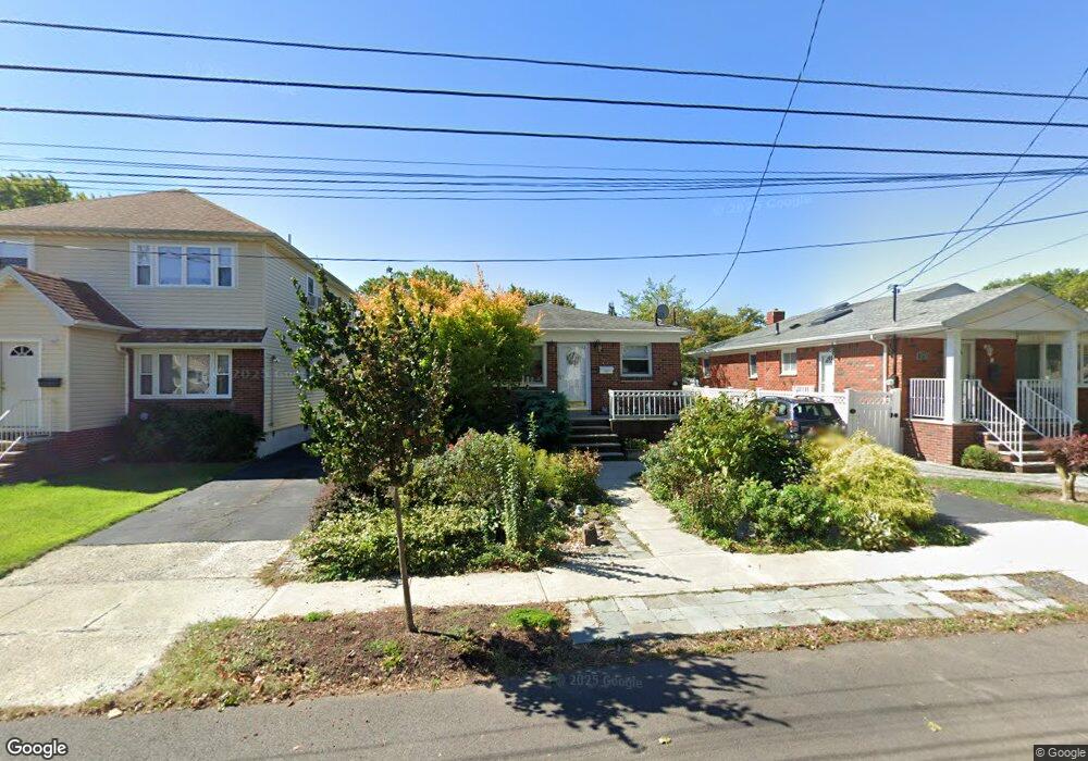
72 Cannon Blvd Staten Island, NY 10306
New Dorp NeighborhoodEstimated Value: $692,796 - $781,000
--
Bed
4
Baths
1,144
Sq Ft
$662/Sq Ft
Est. Value
About This Home
This home is located at 72 Cannon Blvd, Staten Island, NY 10306 and is currently estimated at $757,699, approximately $662 per square foot. 72 Cannon Blvd is a home located in Richmond County with nearby schools including P.S. 41 The Stephanie a Vierno School, Is 2 George L Egbert, and New Dorp High School.
Create a Home Valuation Report for This Property
The Home Valuation Report is an in-depth analysis detailing your home's value as well as a comparison with similar homes in the area
Home Values in the Area
Average Home Value in this Area
Tax History Compared to Growth
Tax History
| Year | Tax Paid | Tax Assessment Tax Assessment Total Assessment is a certain percentage of the fair market value that is determined by local assessors to be the total taxable value of land and additions on the property. | Land | Improvement |
|---|---|---|---|---|
| 2025 | $6,418 | $47,340 | $10,037 | $37,303 |
| 2024 | $6,430 | $45,060 | $9,948 | $35,112 |
| 2023 | $6,106 | $31,464 | $9,524 | $21,940 |
| 2022 | $5,937 | $40,680 | $13,440 | $27,240 |
| 2021 | $6,258 | $38,160 | $13,440 | $24,720 |
| 2020 | $5,940 | $37,200 | $13,440 | $23,760 |
| 2019 | $5,521 | $36,600 | $13,440 | $23,160 |
| 2018 | $5,047 | $26,220 | $13,440 | $12,780 |
| 2017 | $4,996 | $25,980 | $13,440 | $12,540 |
| 2016 | $5,256 | $27,840 | $13,440 | $14,400 |
| 2015 | $4,138 | $27,720 | $11,580 | $16,140 |
| 2014 | $4,138 | $27,440 | $11,463 | $15,977 |
Source: Public Records
Map
Nearby Homes
- 193 10th St
- 193 10 St
- 20 Francine Ct Unit A
- 305 Tysens Ln Unit B
- 32 Francine Ct Unit B
- 77 Penn Ave
- 13 Ella Place
- 91 Allison Ave
- 52A Francine Ct Unit 80A
- 52 Francine Ct Unit A
- 4 Penn Ave
- 351 8th St
- 109 8th St
- 32 Mobile Ave
- 129 New Dorp Plaza N
- 215 Cannon Blvd
- 218 Cannon Blvd
- 205 Penn Ave
- 194 Tysens Ln
- 87 Vincent Ave