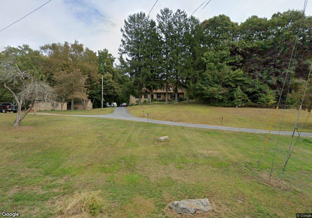
72 Cato Corner Rd Colchester, CT 06415
Estimated Value: $464,726 - $557,000
4
Beds
2
Baths
2,264
Sq Ft
$229/Sq Ft
Est. Value
About This Home
This home is located at 72 Cato Corner Rd, Colchester, CT 06415 and is currently estimated at $518,932, approximately $229 per square foot. 72 Cato Corner Rd is a home located in New London County with nearby schools including Colchester Elementary School, Jack Jackter Intermediate School, and William J. Johnston Middle School.
Ownership History
Date
Name
Owned For
Owner Type
Purchase Details
Closed on
Sep 29, 2020
Sold by
Fedus Robert P and Fedus Sandra J
Bought by
Hayward Micheael and Hayward Carolyn
Current Estimated Value
Home Financials for this Owner
Home Financials are based on the most recent Mortgage that was taken out on this home.
Original Mortgage
$240,000
Outstanding Balance
$204,183
Interest Rate
2.9%
Mortgage Type
Balloon
Estimated Equity
$314,750
Create a Home Valuation Report for This Property
The Home Valuation Report is an in-depth analysis detailing your home's value as well as a comparison with similar homes in the area
Home Values in the Area
Average Home Value in this Area
Purchase History
| Date | Buyer | Sale Price | Title Company |
|---|---|---|---|
| Hayward Micheael | -- | None Available |
Source: Public Records
Mortgage History
| Date | Status | Borrower | Loan Amount |
|---|---|---|---|
| Open | Hayward Micheael | $240,000 |
Source: Public Records
Tax History
| Year | Tax Paid | Tax Assessment Tax Assessment Total Assessment is a certain percentage of the fair market value that is determined by local assessors to be the total taxable value of land and additions on the property. | Land | Improvement |
|---|---|---|---|---|
| 2025 | $6,271 | $209,600 | $48,100 | $161,500 |
| 2024 | $6,009 | $209,600 | $48,100 | $161,500 |
| 2023 | $5,705 | $209,600 | $48,100 | $161,500 |
| 2022 | $5,676 | $209,600 | $48,100 | $161,500 |
| 2021 | $5,855 | $178,300 | $49,200 | $129,100 |
| 2020 | $5,855 | $178,300 | $49,200 | $129,100 |
| 2019 | $5,855 | $178,300 | $49,200 | $129,100 |
| 2018 | $5,756 | $178,300 | $49,200 | $129,100 |
| 2017 | $5,772 | $178,300 | $49,200 | $129,100 |
| 2016 | $6,117 | $197,900 | $62,800 | $135,100 |
| 2015 | $6,087 | $197,900 | $62,800 | $135,100 |
| 2014 | $6,050 | $197,900 | $62,800 | $135,100 |
Source: Public Records
Map
Nearby Homes
- 1 Taylor Rd
- 3 Taylor Rd
- 6 Taylor Rd
- 8 Taylor Rd
- 10 Taylor Rd
- 7 Taylor Rd
- 9 Taylor Rd
- 28 Hickory Rd
- 6 Westchester Hills Unit G
- 7 Westchester Hills Unit D
- 538 Old Hartford Rd
- 18 Quail Rd
- 111 Old Hartford Rd
- 63 Taylor Rd
- Lot #2 Taylor Rd
- 87 Park Ave
- 5 Vicki Ln Unit 5
- 39 Jaffee Terrace
- 86 Hi Lea Farm Rd
- 636 Westchester Rd
- 74 Cato Corner Rd
- 70 Cato Corner Rd
- 84 Cato Corner Rd
- 75 Cato Corner Rd
- 67 Cato Corner Rd
- 94 Cato Corner Rd
- 88 Cato Corner Rd
- 8 Skyview Dr
- 59 Cato Corner Rd
- 15 Skyview Dr
- 98 Cato Corner Rd
- 12 Skyview Dr
- 51 Skyview Dr
- 19 Skyview Dr
- 53 Cato Corner Rd
- 279 Prospect Hill Rd
- 20 Skyview Dr
- 25 Skyview Dr
- 43 Cato Corner Rd
- 27 Skyview Dr
Your Personal Tour Guide
Ask me questions while you tour the home.