72 Christman Ct Pottstown, PA 19465
Estimated Value: $424,000 - $654,000
3
Beds
2
Baths
1,620
Sq Ft
$333/Sq Ft
Est. Value
About This Home
This home is located at 72 Christman Ct, Pottstown, PA 19465 and is currently estimated at $539,447, approximately $332 per square foot. 72 Christman Ct is a home located in Chester County with nearby schools including East Coventry Elementary School, Owen J Roberts Middle School, and Owen J Roberts High School.
Ownership History
Date
Name
Owned For
Owner Type
Purchase Details
Closed on
Jun 11, 2018
Sold by
Martin Derrill Jay and Martin Julie Ann
Bought by
Martin Derrill Jay and Martin Julie Ann
Current Estimated Value
Purchase Details
Closed on
Nov 20, 2017
Sold by
Mulvihill Thomas G and Ethelmulvihill Of Estate
Bought by
Martin Derrill Jay and Martin Julie Ann
Purchase Details
Closed on
Apr 1, 1986
Bought by
Mulvihill Maurice and Mulvihill Ethel
Create a Home Valuation Report for This Property
The Home Valuation Report is an in-depth analysis detailing your home's value as well as a comparison with similar homes in the area
Home Values in the Area
Average Home Value in this Area
Purchase History
| Date | Buyer | Sale Price | Title Company |
|---|---|---|---|
| Martin Derrill Jay | -- | Patriot Land Transfer Inc | |
| Doering Timothy Paul | -- | Patriot Land Transfer Inc | |
| Doering Timothy Paul | $5,558 | Patriot Land Transfer Inc | |
| Martin Derrill Jay | $240,000 | -- | |
| Mulvihill Maurice | $12,000 | -- |
Source: Public Records
Tax History
| Year | Tax Paid | Tax Assessment Tax Assessment Total Assessment is a certain percentage of the fair market value that is determined by local assessors to be the total taxable value of land and additions on the property. | Land | Improvement |
|---|---|---|---|---|
| 2025 | $6,254 | $148,640 | $48,410 | $100,230 |
| 2024 | $6,254 | $148,640 | $48,410 | $100,230 |
| 2023 | $6,166 | $148,640 | $48,410 | $100,230 |
| 2022 | $6,068 | $148,640 | $48,410 | $100,230 |
| 2021 | $5,996 | $148,640 | $48,410 | $100,230 |
| 2020 | $5,845 | $148,640 | $48,410 | $100,230 |
| 2019 | $5,738 | $148,640 | $48,410 | $100,230 |
| 2018 | $5,622 | $148,440 | $48,210 | $100,230 |
| 2017 | $5,492 | $148,440 | $48,210 | $100,230 |
| 2016 | $4,412 | $148,440 | $48,210 | $100,230 |
| 2015 | $4,412 | $148,440 | $48,210 | $100,230 |
| 2014 | $4,412 | $148,440 | $48,210 | $100,230 |
Source: Public Records
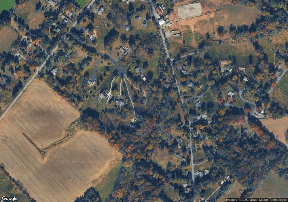
Map
Nearby Homes
- 35 Terrace Dr
- 7 Oak Dr
- 1211 Old Schuylkill Rd
- 1413 Old Schuylkill Rd
- 723 Saylors Mill Rd
- 117 N Savanna Dr
- 217 S Savanna Dr
- 244 Harley Rd
- 256 S Savanna Dr
- 268 S Savanna Dr
- 1112 W Bridge St
- 509 Kolb Rd
- 891 Brown Dr
- 100 Maack Rd
- 1202 W Bridge St
- 1013 W Bridge St
- 287 Kulp Rd
- 354 Calloway Ct
- 10 Mill Ln
- 5 Madison Dr
- 64 Christman Ct
- 61 Christman Ct
- 68 Christman Ct
- 344 Saylors Mill Rd
- 386 Saylors Mill Rd
- 54 Christman Ct
- 349 Saylors Mill Rd
- 412 Saylors Mill Rd
- 41 Christman Ct
- 365 Saylors Mill Rd
- 31 Kolb Rd
- 38 Christman Ct
- 381 Saylors Mill Rd
- 413 Saylors Mill Rd
- 428 Saylors Mill Rd
- 306 Saylors Mill Rd
- 480 Saylors Mill Rd
- 442 Saylors Mill Rd
- 339 Saylors Mill Rd
- 370 Zieber Rd
Your Personal Tour Guide
Ask me questions while you tour the home.