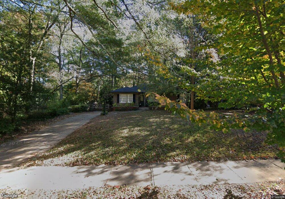
72 Clarendon Ave Unit 2 Avondale Estates, GA 30002
Estimated Value: $587,879 - $734,000
3
Beds
2
Baths
1,578
Sq Ft
$410/Sq Ft
Est. Value
About This Home
This home is located at 72 Clarendon Ave Unit 2, Avondale Estates, GA 30002 and is currently estimated at $646,470, approximately $409 per square foot. 72 Clarendon Ave Unit 2 is a home located in DeKalb County with nearby schools including Avondale Elementary School, Druid Hills Middle School, and Druid Hills High School.
Ownership History
Date
Name
Owned For
Owner Type
Purchase Details
Closed on
Oct 8, 2001
Sold by
Sargent Kevin W and Sargent Marissa J
Bought by
Rollins Matthew M and Rollins Patricia M
Current Estimated Value
Home Financials for this Owner
Home Financials are based on the most recent Mortgage that was taken out on this home.
Original Mortgage
$234,887
Outstanding Balance
$85,844
Interest Rate
6.13%
Mortgage Type
New Conventional
Estimated Equity
$560,626
Purchase Details
Closed on
May 27, 1993
Sold by
Dillard Juanita S
Bought by
Sargent Kevin W
Home Financials for this Owner
Home Financials are based on the most recent Mortgage that was taken out on this home.
Original Mortgage
$113,567
Interest Rate
7.39%
Mortgage Type
FHA
Create a Home Valuation Report for This Property
The Home Valuation Report is an in-depth analysis detailing your home's value as well as a comparison with similar homes in the area
Home Values in the Area
Average Home Value in this Area
Purchase History
| Date | Buyer | Sale Price | Title Company |
|---|---|---|---|
| Rollins Matthew M | $247,300 | -- | |
| Sargent Kevin W | $117,000 | -- |
Source: Public Records
Mortgage History
| Date | Status | Borrower | Loan Amount |
|---|---|---|---|
| Open | Rollins Matthew M | $234,887 | |
| Previous Owner | Sargent Kevin W | $113,567 |
Source: Public Records
Tax History Compared to Growth
Tax History
| Year | Tax Paid | Tax Assessment Tax Assessment Total Assessment is a certain percentage of the fair market value that is determined by local assessors to be the total taxable value of land and additions on the property. | Land | Improvement |
|---|---|---|---|---|
| 2025 | $7,655 | $221,280 | $70,240 | $151,040 |
| 2024 | $7,220 | $206,360 | $70,240 | $136,120 |
| 2023 | $7,220 | $193,560 | $62,640 | $130,920 |
| 2022 | $5,677 | $150,240 | $62,680 | $87,560 |
| 2021 | $5,302 | $139,240 | $62,680 | $76,560 |
| 2020 | $5,133 | $137,600 | $62,680 | $74,920 |
| 2019 | $5,122 | $139,520 | $62,680 | $76,840 |
| 2018 | $4,902 | $136,320 | $28,600 | $107,720 |
| 2017 | $4,490 | $108,520 | $28,600 | $79,920 |
| 2016 | $4,278 | $102,560 | $28,600 | $73,960 |
| 2014 | $2,944 | $68,920 | $28,600 | $40,320 |
Source: Public Records
Map
Nearby Homes
- 1002 Forrest Blvd
- 3029 Charlbury Place
- 1045 Forrest Blvd
- 85 Devon Ln Unit 85
- 23 Chelsea Ct
- 1044 N Carter Rd
- 1067 Hess Dr
- 1112 Ashbury Dr
- 7 Reese Way
- 915 Katie Kerr Dr
- 820 S Columbia Dr
- 213 Ohm Ave
- 327 Ohm Ave
- 1152 Conway Rd
- 1194 Thomas Rd
- 2630 Talley St Unit 326
- 2630 Talley St Unit 3
- 2630 Talley St Unit 106
- 2630 Talley St Unit 321
- 3193 Beech Dr Unit 2
- 74 Clarendon Ave
- 64 Clarendon Ave
- 73 Berkeley Rd
- 76 Clarendon Ave
- 71 Berkeley Rd
- 75 Berkeley Rd
- 63 Clarendon Ave
- 61 Berkeley Rd
- 61 Clarendon Ave
- 77 Berkeley Rd
- 65 Clarendon Ave
- 62 Clarendon Ave
- 78 Clarendon Ave
- 69 Clarendon Ave
- 2 Clarendon Place
- 81 Berkeley Rd Unit 1
- 59 Berkeley Rd
- 71 Clarendon Ave
- 58 Clarendon Ave
- 75 Clarendon Ave