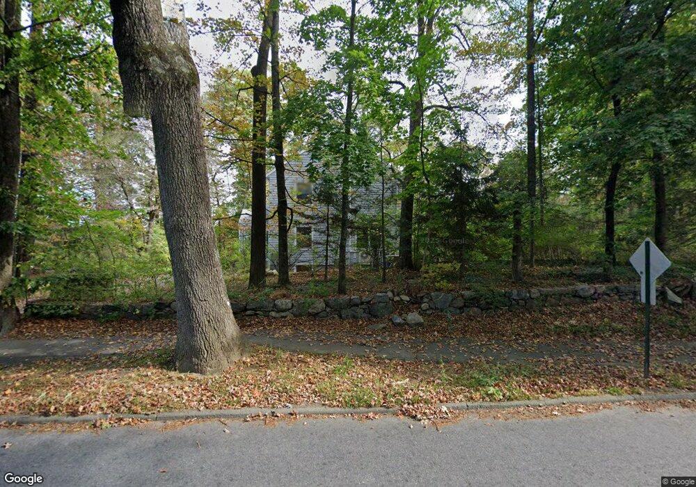
72 Codman Rd Lincoln, MA 01773
Estimated Value: $1,454,000 - $2,067,000
4
Beds
5
Baths
3,220
Sq Ft
$527/Sq Ft
Est. Value
About This Home
This home is located at 72 Codman Rd, Lincoln, MA 01773 and is currently estimated at $1,695,881, approximately $526 per square foot. 72 Codman Rd is a home located in Middlesex County with nearby schools including Lincoln-Sudbury Regional High School, Corwin-Russell School At Broccoli Hall, and Tremont School.
Ownership History
Date
Name
Owned For
Owner Type
Purchase Details
Closed on
Jan 16, 2009
Sold by
Reich Christian Georg and Zamiri Parisa
Bought by
Soo Jonathan C and Soo Karalynn A
Current Estimated Value
Home Financials for this Owner
Home Financials are based on the most recent Mortgage that was taken out on this home.
Original Mortgage
$415,000
Interest Rate
5.52%
Mortgage Type
Purchase Money Mortgage
Purchase Details
Closed on
Feb 15, 2002
Sold by
School Carroll
Bought by
Georgreich Christina and Zamiri Parisa
Home Financials for this Owner
Home Financials are based on the most recent Mortgage that was taken out on this home.
Original Mortgage
$517,500
Interest Rate
7.14%
Mortgage Type
Purchase Money Mortgage
Purchase Details
Closed on
Jun 7, 1993
Sold by
Nisbet Ian C T and Nisbet Shirley
Bought by
School Carroll
Create a Home Valuation Report for This Property
The Home Valuation Report is an in-depth analysis detailing your home's value as well as a comparison with similar homes in the area
Home Values in the Area
Average Home Value in this Area
Purchase History
| Date | Buyer | Sale Price | Title Company |
|---|---|---|---|
| Soo Jonathan C | $820,000 | -- | |
| Georgreich Christina | $690,000 | -- | |
| School Carroll | $449,000 | -- |
Source: Public Records
Mortgage History
| Date | Status | Borrower | Loan Amount |
|---|---|---|---|
| Open | School Carroll | $350,000 | |
| Closed | Soo Jonathan C | $415,000 | |
| Previous Owner | Georgreich Christina | $517,500 |
Source: Public Records
Tax History
| Year | Tax Paid | Tax Assessment Tax Assessment Total Assessment is a certain percentage of the fair market value that is determined by local assessors to be the total taxable value of land and additions on the property. | Land | Improvement |
|---|---|---|---|---|
| 2025 | $158 | $1,231,300 | $749,000 | $482,300 |
| 2024 | $15,605 | $1,210,600 | $734,400 | $476,200 |
| 2023 | $16,001 | $1,149,500 | $676,400 | $473,100 |
| 2022 | $15,563 | $1,042,400 | $611,400 | $431,000 |
| 2021 | $15,017 | $967,600 | $541,100 | $426,500 |
| 2020 | $14,813 | $964,400 | $541,100 | $423,300 |
| 2019 | $12,974 | $924,700 | $524,100 | $400,600 |
| 2018 | $12,576 | $924,700 | $524,100 | $400,600 |
| 2017 | $12,216 | $891,700 | $494,700 | $397,000 |
| 2016 | $12,177 | $870,400 | $480,000 | $390,400 |
| 2015 | $11,767 | $831,600 | $444,500 | $387,100 |
| 2014 | $10,982 | $762,100 | $398,100 | $364,000 |
Source: Public Records
Map
Nearby Homes
- 70 Todd Pond Rd
- 44 Baker Bridge Rd
- 260 Lincoln Rd
- 93 Old Sudbury Rd
- 130 Tower Rd
- 291 Concord Rd
- 6 Clifford Ln
- 45 Weston Rd
- 46 Blackburnian Rd
- 8 Silver Hill Rd
- 448 & 454 Concord Rd
- 23 Bedford Rd
- 156 Cherry Brook Rd
- 14 Westland Rd
- 16 Hampshire Rd
- 63 Sudbury Rd
- 55 Sherman's Bridge Rd
- 9 Garland Rd
- 35 Bemis St
- 416 Conant Rd
- 168 Lincoln Rd
- 78 Codman Rd
- 7 Lewis St Unit 7
- 7 Lewis St Unit 1357
- 7 Lewis St
- 5 Lewis St
- 57 Lewis St
- 13 Lewis St
- 3 Lewis St Unit 3
- 1 Lewis St
- 84 Codman Rd
- 2 Lewis St
- 10 Lewis St
- 10 Lewis St Unit 2,LL
- 34 Lewis St
- 14 Lewis St Unit 16
- 14-16 Lewis St Unit 16
- 16 Lewis St Unit 16
- 177 Lincoln Rd
- 26 Lewis St
Your Personal Tour Guide
Ask me questions while you tour the home.