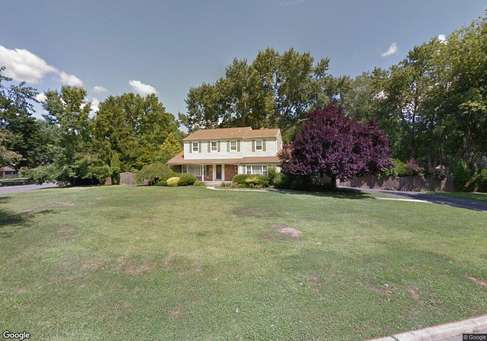
72 Dale Rd Middletown, NJ 07748
New Monmouth NeighborhoodEstimated Value: $979,000 - $1,049,222
4
Beds
3
Baths
2,168
Sq Ft
$466/Sq Ft
Est. Value
About This Home
This home is located at 72 Dale Rd, Middletown, NJ 07748 and is currently estimated at $1,011,056, approximately $466 per square foot. 72 Dale Rd is a home located in Monmouth County with nearby schools including Nut Swamp Elementary School, Thompson Middle School, and Middletown - South High School.
Ownership History
Date
Name
Owned For
Owner Type
Purchase Details
Closed on
Jul 21, 1995
Sold by
Elliot Robert
Bought by
Furlow C Warren and Furlow Kandis
Current Estimated Value
Home Financials for this Owner
Home Financials are based on the most recent Mortgage that was taken out on this home.
Original Mortgage
$261,000
Interest Rate
7.56%
Create a Home Valuation Report for This Property
The Home Valuation Report is an in-depth analysis detailing your home's value as well as a comparison with similar homes in the area
Home Values in the Area
Average Home Value in this Area
Purchase History
| Date | Buyer | Sale Price | Title Company |
|---|---|---|---|
| Furlow C Warren | $275,000 | -- |
Source: Public Records
Mortgage History
| Date | Status | Borrower | Loan Amount |
|---|---|---|---|
| Closed | Furlow C Warren | $261,000 |
Source: Public Records
Tax History Compared to Growth
Tax History
| Year | Tax Paid | Tax Assessment Tax Assessment Total Assessment is a certain percentage of the fair market value that is determined by local assessors to be the total taxable value of land and additions on the property. | Land | Improvement |
|---|---|---|---|---|
| 2025 | $13,879 | $1,001,600 | $550,000 | $451,600 |
| 2024 | $13,918 | $843,700 | $371,400 | $472,300 |
| 2023 | $13,918 | $800,800 | $418,800 | $382,000 |
| 2022 | $13,453 | $695,500 | $331,800 | $363,700 |
| 2021 | $13,453 | $646,800 | $314,600 | $332,200 |
| 2020 | $13,407 | $627,100 | $302,500 | $324,600 |
| 2019 | $13,295 | $629,500 | $302,500 | $327,000 |
| 2018 | $13,134 | $606,100 | $302,500 | $303,600 |
| 2017 | $12,761 | $600,800 | $302,500 | $298,300 |
| 2016 | $11,946 | $560,600 | $292,500 | $268,100 |
| 2015 | $11,498 | $538,300 | $272,500 | $265,800 |
| 2014 | $11,063 | $505,400 | $262,500 | $242,900 |
Source: Public Records
Map
Nearby Homes
- 185 Ballantine Rd
- 234 Borden Rd
- 7 Cormorant Dr
- 20 Cormorant Dr
- 83 Green Meadow Blvd
- 911 Middletown Lincroft Rd
- 246 Sunnyside Rd
- 17 Terry Ln
- 111 Crawfords Corner Rd
- 86 Stillwell Rd
- 74 Fish Hawk Dr
- 7 Mccampbell Rd
- 1476 W Front St
- 17 Spalding Dr
- 45 Galloping Hill Cir
- 1497 W Front St
- 93 Wallace Rd
- 23 Stratford Ln Unit 483
- 4 E Parkway Place
- 11 Jansky Dr
- 170 Ballantine Rd
- 66 Dale Rd
- 73 Dale Rd
- 161 Ballantine Rd
- 153 Ballantine Rd
- 178 Ballantine Rd
- 169 Ballantine Rd
- 65 Dale Rd
- 145 Ballantine Rd
- 58 Dale Rd
- 138 Ballantine Rd
- 177 Ballantine Rd
- 186 Ballantine Rd
- 137 Ballantine Rd
- 331 Dwight Rd
- 49 Dale Rd
- 341 Dwight Rd
- 50 Dale Rd
- 130 Ballantine Rd
- 321 Dwight Rd