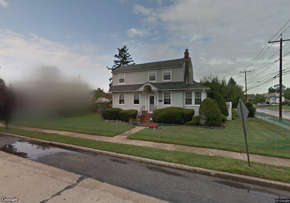
72 Dart St East Rockaway, NY 11518
Estimated Value: $705,365 - $711,000
--
Bed
1
Bath
1,329
Sq Ft
$533/Sq Ft
Est. Value
About This Home
This home is located at 72 Dart St, East Rockaway, NY 11518 and is currently estimated at $708,183, approximately $532 per square foot. 72 Dart St is a home located in Nassau County with nearby schools including East Rockaway Junior/Senior High School and Our Lady Of Peace School.
Ownership History
Date
Name
Owned For
Owner Type
Purchase Details
Closed on
Mar 8, 2021
Sold by
Acuti Mark and Acuti Kathleen
Bought by
Acuti Kathleen
Current Estimated Value
Home Financials for this Owner
Home Financials are based on the most recent Mortgage that was taken out on this home.
Original Mortgage
$15,716
Interest Rate
3.1%
Mortgage Type
New Conventional
Purchase Details
Closed on
Sep 5, 2008
Sold by
Brown Robert and Brown Lori
Bought by
Acuti Mark and Acuti Kathleen
Purchase Details
Closed on
Sep 11, 1996
Sold by
Olive Robbert
Bought by
Robbert Charles and Robbert Donald
Create a Home Valuation Report for This Property
The Home Valuation Report is an in-depth analysis detailing your home's value as well as a comparison with similar homes in the area
Home Values in the Area
Average Home Value in this Area
Purchase History
| Date | Buyer | Sale Price | Title Company |
|---|---|---|---|
| Acuti Kathleen | $98,251 | None Available | |
| Acuti Mark | $450,000 | Attorney | |
| Robbert Charles | -- | -- |
Source: Public Records
Mortgage History
| Date | Status | Borrower | Loan Amount |
|---|---|---|---|
| Previous Owner | Acuti Kathleen | $15,716 |
Source: Public Records
Tax History Compared to Growth
Tax History
| Year | Tax Paid | Tax Assessment Tax Assessment Total Assessment is a certain percentage of the fair market value that is determined by local assessors to be the total taxable value of land and additions on the property. | Land | Improvement |
|---|---|---|---|---|
| 2025 | $11,172 | $453 | $208 | $245 |
| 2024 | $1,753 | $429 | $197 | $232 |
| 2023 | $12,258 | $480 | $226 | $254 |
| 2022 | $12,258 | $453 | $208 | $245 |
| 2021 | $17,270 | $478 | $219 | $259 |
| 2020 | $13,531 | $893 | $441 | $452 |
| 2019 | $2,226 | $893 | $441 | $452 |
| 2018 | $9,594 | $893 | $0 | $0 |
| 2017 | $8,357 | $893 | $441 | $452 |
| 2016 | $10,396 | $893 | $441 | $452 |
| 2015 | $2,000 | $893 | $441 | $452 |
| 2014 | $2,000 | $893 | $441 | $452 |
| 2013 | $1,861 | $893 | $441 | $452 |
Source: Public Records
Map
Nearby Homes
- 69 Lawson Ave
- 10 Dart St
- 35 Lawson Ave
- 153 Main St
- 83 Adams St
- 28 Cammerer Ave
- 490 Atlantic Ave Unit 218
- 490 Atlantic Ave Unit 330
- 5 E Ct
- 10 Bulaire Rd
- 209 Rhame Ave
- 54 North Blvd
- 42 Bulaire Rd
- 51 Davison Ave
- 16 Main St Unit 2-Q
- 16 Main St Unit 3C
- 19 4th Ave
- 12 Hewlett Point Ave
- 6 Cail Dr
- 7 East Blvd