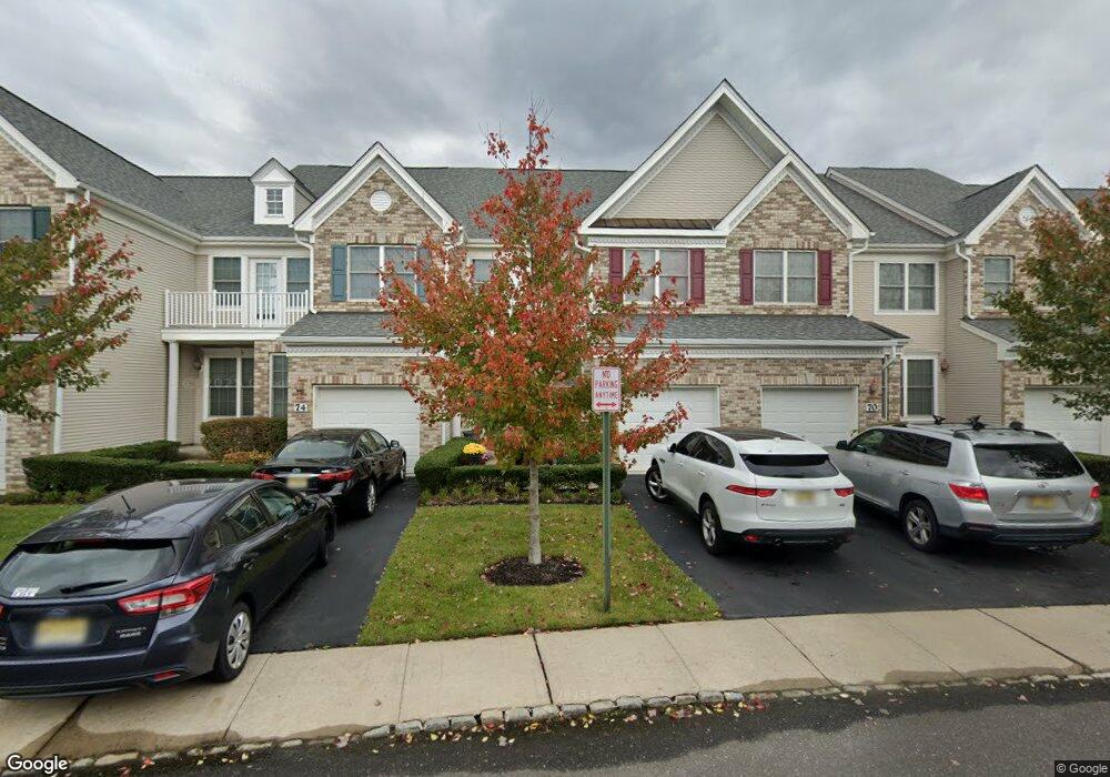
72 Demarest Dr Unit C1 Manalapan, NJ 07726
Estimated Value: $679,000 - $756,000
3
Beds
2
Baths
1,853
Sq Ft
$383/Sq Ft
Est. Value
About This Home
This home is located at 72 Demarest Dr Unit C1, Manalapan, NJ 07726 and is currently estimated at $710,415, approximately $383 per square foot. 72 Demarest Dr Unit C1 is a home located in Monmouth County with nearby schools including Taylor Mills Elementary School, Manalapan-Englishtown Middle School, and Pine Brook Elementary School.
Ownership History
Date
Name
Owned For
Owner Type
Purchase Details
Closed on
Sep 25, 2009
Sold by
Hearthstone Multi Asset Entity A Lp
Bought by
K Hovnanian At Manalapan Iii Llc
Current Estimated Value
Create a Home Valuation Report for This Property
The Home Valuation Report is an in-depth analysis detailing your home's value as well as a comparison with similar homes in the area
Home Values in the Area
Average Home Value in this Area
Purchase History
| Date | Buyer | Sale Price | Title Company |
|---|---|---|---|
| K Hovnanian At Manalapan Iii Llc | $108,000 | Eastern Title Agency Inc |
Source: Public Records
Tax History Compared to Growth
Tax History
| Year | Tax Paid | Tax Assessment Tax Assessment Total Assessment is a certain percentage of the fair market value that is determined by local assessors to be the total taxable value of land and additions on the property. | Land | Improvement |
|---|---|---|---|---|
| 2025 | $10,344 | $656,400 | $255,000 | $401,400 |
| 2024 | $10,035 | $612,800 | $210,000 | $402,800 |
| 2023 | $10,035 | $603,400 | $210,000 | $393,400 |
| 2022 | $9,311 | $541,500 | $161,000 | $380,500 |
| 2021 | $9,311 | $447,200 | $105,000 | $342,200 |
| 2020 | $9,148 | $444,100 | $100,000 | $344,100 |
| 2019 | $9,220 | $446,900 | $99,000 | $347,900 |
| 2018 | $9,350 | $450,400 | $114,000 | $336,400 |
| 2017 | $8,908 | $429,300 | $103,000 | $326,300 |
| 2016 | $8,639 | $420,600 | $95,000 | $325,600 |
| 2015 | $8,628 | $415,600 | $95,000 | $320,600 |
| 2014 | $7,753 | $364,000 | $80,000 | $284,000 |
Source: Public Records
Map
Nearby Homes
- 82 Demarest Dr Unit C1
- 40 Mulberry Dr
- 29 Bristol Rd
- 15 W Parsonage Way
- 12 Millhurst Rd
- 216 Deepwater Cir
- 40 Riva Ridge Rd
- 13 Fells Dr Unit A1
- 28 Shoemaker Rd
- 01 Private St
- 7 Pink Star Ct
- 24 Friesan Ct
- Ibiza Plan at K. Hovnanian's® Four Seasons at Manalapan Crossing
- Ibiza II Loft Plan at K. Hovnanian's® Four Seasons at Manalapan Crossing
- Palmera Plan at K. Hovnanian's® Four Seasons at Manalapan Crossing
- Dorchester Plan at K. Hovnanian's® Four Seasons at Manalapan Crossing
- Dorchester Loft Plan at K. Hovnanian's® Four Seasons at Manalapan Crossing
- Killarney II Plan at K. Hovnanian's® Four Seasons at Manalapan Crossing
- Killarney III Loft Plan at K. Hovnanian's® Four Seasons at Manalapan Crossing
- 400 Main St
- 70 Demarest Dr Unit D1
- 74 Demarest Dr Unit B1
- 68 Demarest Dr Unit E1
- 76 Demarest Dr Unit 1003A1
- 66 Demarest Dr Unit F1
- 69 Demarest Dr Unit D1
- 71 Demarest Dr
- 63 Demarest Dr Unit 1025A1
- 67 Demarest Dr Unit 1025C1
- 65 Demarest Dr
- 62 Demarest Dr Unit A1
- 80 Demarest Dr Unit D1
- 60 Demarest Dr Unit B1
- 58 Demarest Dr Unit C1
- 87 Demarest Dr Unit 24A
- 84 Demarest Dr Unit B1
- 56 Demarest Dr Unit D1
- 89 Demarest Dr Unit B1
- 86 Demarest Dr Unit A1
- 54 Demarest Dr Unit E1