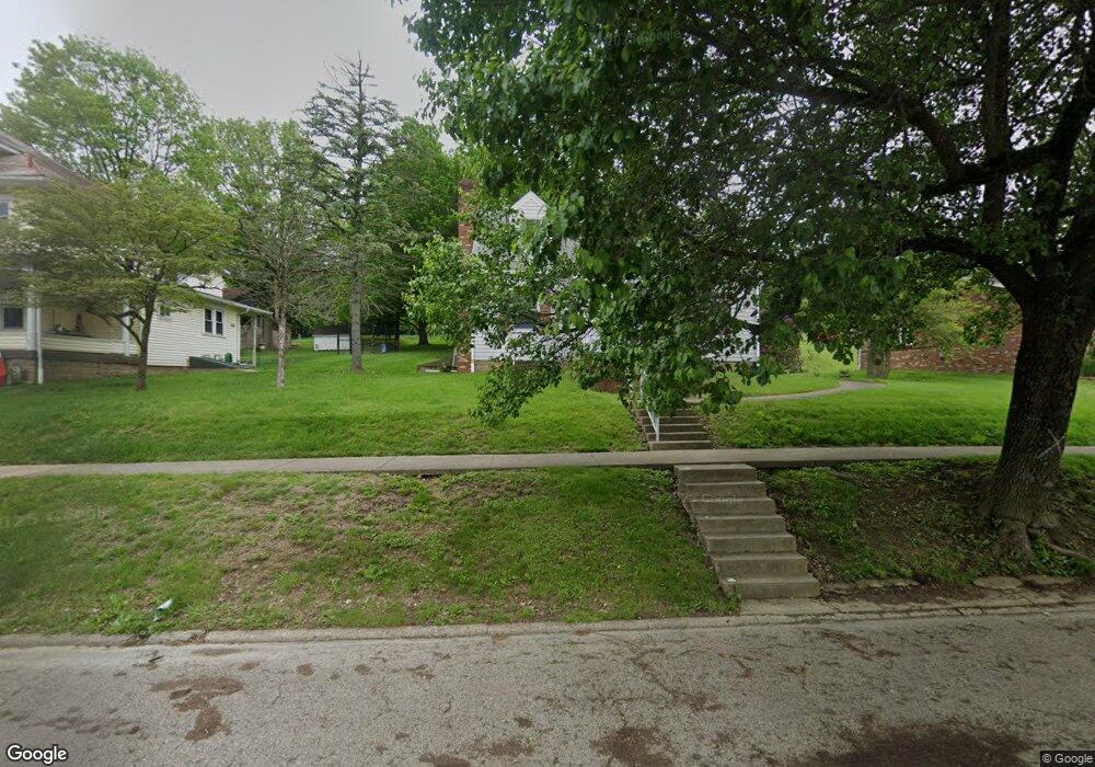
72 E Main St New Concord, OH 43762
Estimated Value: $131,000 - $244,269
3
Beds
2
Baths
1,783
Sq Ft
$112/Sq Ft
Est. Value
About This Home
This home is located at 72 E Main St, New Concord, OH 43762 and is currently estimated at $200,567, approximately $112 per square foot. 72 E Main St is a home located in Muskingum County with nearby schools including New Concord Elementary School, Larry Miller Intermediate Elementary School, and East Muskingum Middle School.
Ownership History
Date
Name
Owned For
Owner Type
Purchase Details
Closed on
Jun 9, 2025
Sold by
Payne Richard
Bought by
Aloha Profits Llc
Current Estimated Value
Home Financials for this Owner
Home Financials are based on the most recent Mortgage that was taken out on this home.
Original Mortgage
$108,000
Outstanding Balance
$107,356
Interest Rate
6.76%
Mortgage Type
Credit Line Revolving
Estimated Equity
$93,211
Purchase Details
Closed on
Oct 11, 2010
Sold by
Payne Shirley
Bought by
Payne Richard
Create a Home Valuation Report for This Property
The Home Valuation Report is an in-depth analysis detailing your home's value as well as a comparison with similar homes in the area
Home Values in the Area
Average Home Value in this Area
Purchase History
| Date | Buyer | Sale Price | Title Company |
|---|---|---|---|
| Aloha Profits Llc | $135,000 | None Listed On Document | |
| Aloha Profits Llc | $135,000 | None Listed On Document | |
| Payne Richard | -- | Attorney |
Source: Public Records
Mortgage History
| Date | Status | Borrower | Loan Amount |
|---|---|---|---|
| Open | Aloha Profits Llc | $108,000 | |
| Closed | Aloha Profits Llc | $108,000 |
Source: Public Records
Tax History
| Year | Tax Paid | Tax Assessment Tax Assessment Total Assessment is a certain percentage of the fair market value that is determined by local assessors to be the total taxable value of land and additions on the property. | Land | Improvement |
|---|---|---|---|---|
| 2025 | $3,175 | $52,080 | $7,420 | $44,660 |
| 2024 | $1,823 | $52,080 | $7,420 | $44,660 |
| 2023 | $1,520 | $40,145 | $6,265 | $33,880 |
| 2022 | $1,492 | $40,145 | $6,265 | $33,880 |
| 2021 | $1,475 | $40,145 | $6,265 | $33,880 |
| 2020 | $1,513 | $40,145 | $6,265 | $33,880 |
| 2019 | $1,483 | $40,145 | $6,265 | $33,880 |
| 2018 | $1,397 | $40,145 | $6,265 | $33,880 |
| 2017 | $1,262 | $32,130 | $6,265 | $25,865 |
| 2016 | $1,264 | $32,140 | $6,270 | $25,870 |
| 2015 | $1,281 | $32,140 | $6,270 | $25,870 |
| 2013 | $1,302 | $30,560 | $4,830 | $25,730 |
Source: Public Records
Map
Nearby Homes
- 67 E Main St
- 110 Cherry Ln
- 170 Thompson Ave
- 220 Barrington Ridge
- 0 Maple Ln
- 0 Rix Mills Rd
- 0 Homestead Dr Unit 5174212
- 61220 Kadon Dr
- 470 Nel da Mar Dr
- 60040 Bliss Rd
- 3333 Glenn Hwy
- 135 S Moose Eye Rd
- 3719 Holmes Rd
- 3278 Rough & Ready Rd
- 101 N Sundale Rd
- 10050 Norwich Dr
- 1600 Hardesty Rd
- 4896 High Hill Rd
- 515 Norwich Valley Rd
- 0 Haught Rd Unit 5180764
Your Personal Tour Guide
Ask me questions while you tour the home.