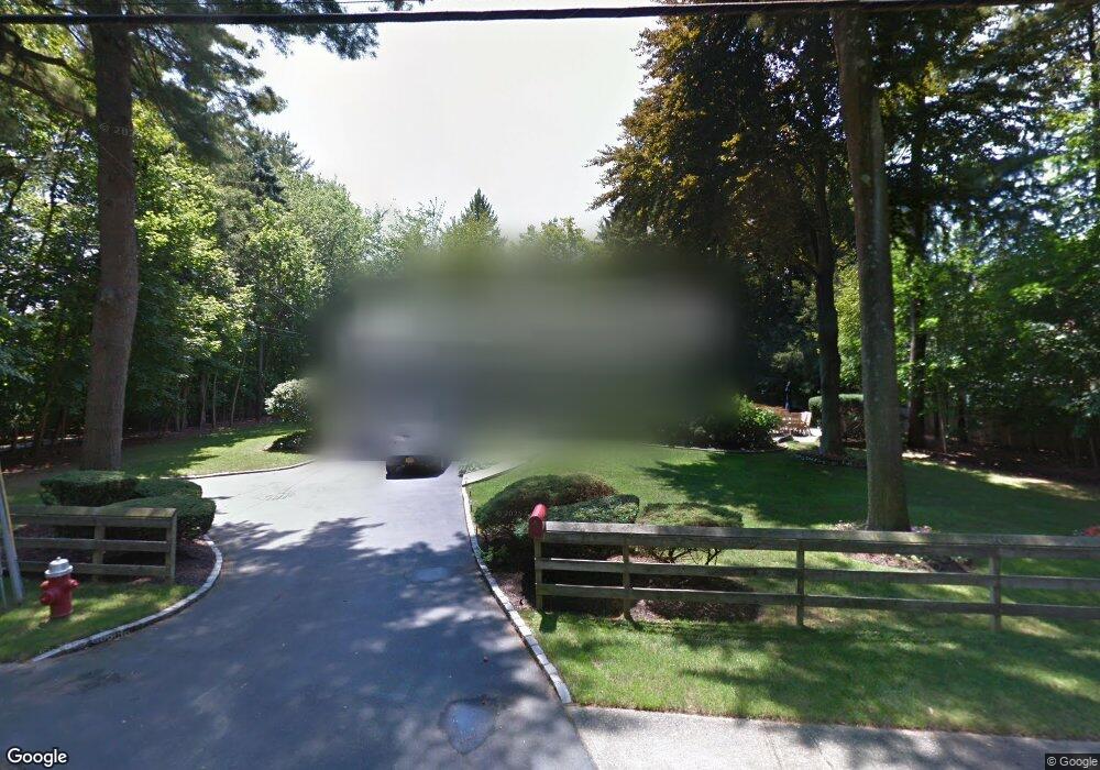
72 E Rogues Path Huntington Station, NY 11746
Estimated Value: $761,000 - $942,000
4
Beds
3
Baths
2,200
Sq Ft
$399/Sq Ft
Est. Value
About This Home
This home is located at 72 E Rogues Path, Huntington Station, NY 11746 and is currently estimated at $878,511, approximately $399 per square foot. 72 E Rogues Path is a home located in Suffolk County with nearby schools including Silas Wood Sixth Grade Center, Henry L Stimson Middle School, and Walt Whitman High School.
Ownership History
Date
Name
Owned For
Owner Type
Purchase Details
Closed on
Oct 1, 2018
Sold by
Christ John C and Christ Kelly C
Bought by
Samouhi Davis and Samouhi Danitza
Current Estimated Value
Home Financials for this Owner
Home Financials are based on the most recent Mortgage that was taken out on this home.
Original Mortgage
$452,000
Outstanding Balance
$386,576
Interest Rate
4.5%
Mortgage Type
New Conventional
Estimated Equity
$491,935
Purchase Details
Closed on
Oct 17, 2008
Sold by
Markheim Kathleen
Bought by
Christ Kelly
Home Financials for this Owner
Home Financials are based on the most recent Mortgage that was taken out on this home.
Original Mortgage
$360,400
Interest Rate
5.83%
Mortgage Type
Stand Alone First
Create a Home Valuation Report for This Property
The Home Valuation Report is an in-depth analysis detailing your home's value as well as a comparison with similar homes in the area
Home Values in the Area
Average Home Value in this Area
Purchase History
| Date | Buyer | Sale Price | Title Company |
|---|---|---|---|
| Samouhi Davis | $565,000 | -- | |
| Christ Kelly | $424,000 | Kathryn Cimone |
Source: Public Records
Mortgage History
| Date | Status | Borrower | Loan Amount |
|---|---|---|---|
| Open | Samouhi Davis | $452,000 | |
| Previous Owner | Christ Kelly | $360,400 |
Source: Public Records
Tax History Compared to Growth
Tax History
| Year | Tax Paid | Tax Assessment Tax Assessment Total Assessment is a certain percentage of the fair market value that is determined by local assessors to be the total taxable value of land and additions on the property. | Land | Improvement |
|---|---|---|---|---|
| 2024 | $12,986 | $3,100 | $550 | $2,550 |
| 2023 | $6,493 | $3,100 | $550 | $2,550 |
| 2022 | $12,831 | $3,100 | $550 | $2,550 |
| 2021 | $12,641 | $3,100 | $550 | $2,550 |
| 2020 | $12,453 | $3,100 | $550 | $2,550 |
| 2019 | $24,907 | $0 | $0 | $0 |
| 2018 | $10,627 | $3,100 | $550 | $2,550 |
| 2017 | $10,627 | $3,100 | $550 | $2,550 |
| 2016 | $10,438 | $3,100 | $550 | $2,550 |
| 2015 | -- | $3,100 | $550 | $2,550 |
| 2014 | -- | $3,100 | $550 | $2,550 |
Source: Public Records
Map
Nearby Homes