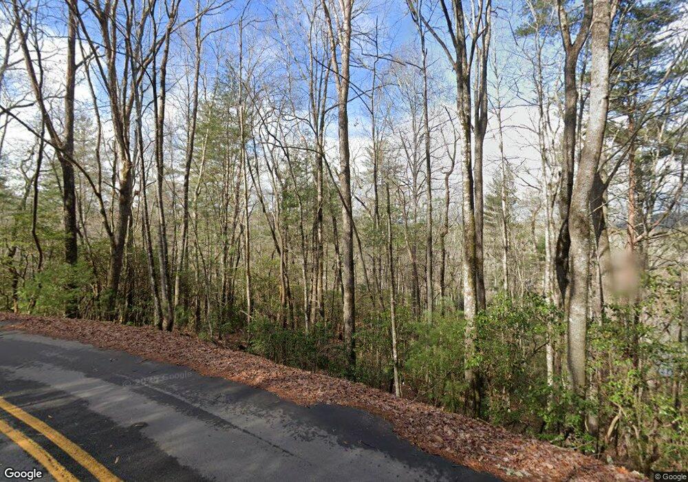
72 Emmaus Ln Clarkesville, GA 30523
Estimated Value: $1,875,927 - $2,684,000
4
Beds
2
Baths
1,920
Sq Ft
$1,151/Sq Ft
Est. Value
About This Home
This home is located at 72 Emmaus Ln, Clarkesville, GA 30523 and is currently estimated at $2,209,482, approximately $1,150 per square foot. 72 Emmaus Ln is a home located in Rabun County with nearby schools including Rabun County Primary School and Rabun County High School.
Ownership History
Date
Name
Owned For
Owner Type
Purchase Details
Closed on
Jun 6, 2022
Sold by
Spangler James K
Bought by
James And Laura Spangler Liv Tr
Current Estimated Value
Purchase Details
Closed on
Jan 29, 2021
Sold by
Mills Harry A
Bought by
Spangler James K and Spangler Laura A
Home Financials for this Owner
Home Financials are based on the most recent Mortgage that was taken out on this home.
Original Mortgage
$885,625
Interest Rate
2.6%
Mortgage Type
New Conventional
Purchase Details
Closed on
Sep 1, 1996
Bought by
Mills Harry A
Create a Home Valuation Report for This Property
The Home Valuation Report is an in-depth analysis detailing your home's value as well as a comparison with similar homes in the area
Home Values in the Area
Average Home Value in this Area
Purchase History
| Date | Buyer | Sale Price | Title Company |
|---|---|---|---|
| James And Laura Spangler Liv Tr | -- | -- | |
| James And Laura Spangler Liv Tr | -- | -- | |
| Spangler James K | -- | -- | |
| Spangler James K | -- | -- | |
| Mills Harry A | -- | -- | |
| Mills Harry A | -- | -- |
Source: Public Records
Mortgage History
| Date | Status | Borrower | Loan Amount |
|---|---|---|---|
| Previous Owner | Spangler James K | $885,625 |
Source: Public Records
Tax History
| Year | Tax Paid | Tax Assessment Tax Assessment Total Assessment is a certain percentage of the fair market value that is determined by local assessors to be the total taxable value of land and additions on the property. | Land | Improvement |
|---|---|---|---|---|
| 2025 | $2,892 | $180,194 | $0 | $180,194 |
| 2024 | $1,778 | $110,768 | $0 | $110,768 |
| 2023 | $1,723 | $94,129 | $0 | $94,129 |
| 2022 | $1,620 | $88,493 | $0 | $88,493 |
| 2021 | $1,474 | $80,592 | $0 | $80,592 |
| 2020 | $1,445 | $76,524 | $0 | $76,524 |
| 2019 | $1,456 | $76,524 | $0 | $76,524 |
| 2018 | $1,293 | $65,972 | $0 | $65,972 |
| 2017 | $1,151 | $61,226 | $0 | $61,226 |
| 2016 | $1,154 | $61,226 | $0 | $61,226 |
| 2015 | $1,069 | $55,487 | $0 | $55,487 |
| 2014 | $1,074 | $55,487 | $0 | $55,487 |
Source: Public Records
Map
Nearby Homes
- 38 Sourwood Trail
- 1349 Dicks Creek Rd
- 1242 Moccasin Creek Rd Unit L
- 4979 Highway 197
- 185 Pope Dickson Ln
- 90 Cove View Ln
- 130 Cove View Ln
- 1 Burton Island
- 132 Summit Ridge Dr
- 0 Ivy Ridge Unit 10528111
- 117 Ivy Ridge Way
- 1289 Rainwater Trail
- 3103 Highway 197
- 0 Hoboken Ln
- 602 Charmont Dr
- 4960 Laurel Lodge Rd
- 4960 Laurel Lodge Rd Unit 46
- 4960 Laurel Lodge Rd Unit LOT 3
- 4960 Laurel Lodge Rd Unit LOT 21
- 4960 Laurel Lodge Rd Unit LOT 2
- 1719 Laurel Lodge Rd
- 60 Emmaus Ln
- 56 Emmaus Ln
- 162 Lone Star Ln
- 126 Tiena Ln
- 166 Tiena Ln
- 1835 Laurel Lodge Rd Unit L
- 1177 E Wildcat Rd Unit L
- 38 Austria Ln
- 1143 E Wildcat Rd
- 36 Austria Ln
- 94 Lone Star Ln
- 1855 Laurel Lodge Rd Unit L
- 34 Yatesville Ln
- 152 Collins Ln
- 60 Yatesville Ln
- 76 Yatesville Ln Unit L
- 1935 Laurel Lodge Rd
- 114 Austria Ln
- 180 Collins Ln
