Estimated Value: $363,513 - $440,000
2
Beds
1
Bath
916
Sq Ft
$436/Sq Ft
Est. Value
About This Home
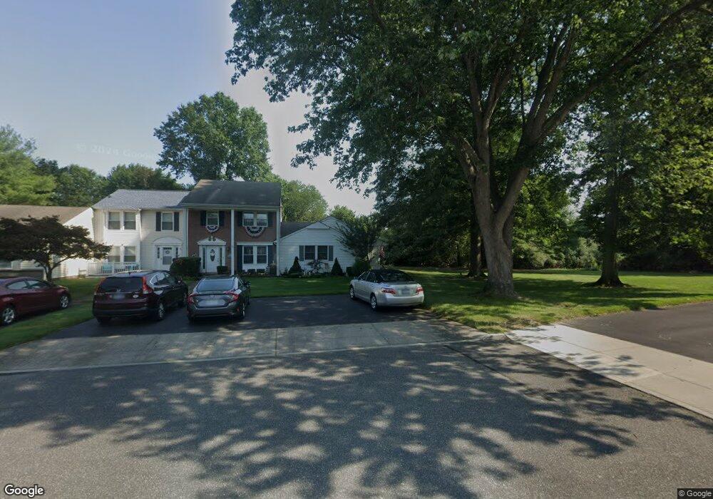
This home is located at 72 Federal Ln, Coram, NY 11727 and is currently estimated at $399,128, approximately $435 per square foot. 72 Federal Ln is a home located in Suffolk County with nearby schools including Longwood Middle School, Longwood Junior High School, and Longwood Senior High School.
Ownership History
Date
Name
Owned For
Owner Type
Purchase Details
Closed on
Oct 27, 2023
Sold by
Deluca-Moore Deborah M
Bought by
Deborah M D-Moore Irt and Raynoha
Current Estimated Value
Purchase Details
Closed on
Mar 31, 2002
Sold by
Deluca Moore Deborah M and Bassaline John J
Bought by
Deluca Moore Deborah M
Purchase Details
Closed on
Aug 24, 2001
Sold by
Gilmore Michael
Bought by
Deluca Moore Deborah M and Bassaline John J
Home Financials for this Owner
Home Financials are based on the most recent Mortgage that was taken out on this home.
Original Mortgage
$116,000
Interest Rate
7.05%
Mortgage Type
Purchase Money Mortgage
Purchase Details
Closed on
Nov 24, 1996
Sold by
Gilmore Michael and Marchese Lisa A
Bought by
Gilmore Michael
Create a Home Valuation Report for This Property
The Home Valuation Report is an in-depth analysis detailing your home's value as well as a comparison with similar homes in the area
Home Values in the Area
Average Home Value in this Area
Purchase History
| Date | Buyer | Sale Price | Title Company |
|---|---|---|---|
| Deborah M D-Moore Irt | -- | None Available | |
| Deborah M D-Moore Irt | -- | None Available | |
| Deluca Moore Deborah M | -- | -- | |
| Deluca Moore Deborah M | -- | -- | |
| Deluca Moore Deborah M | $145,000 | -- | |
| Deluca Moore Deborah M | $145,000 | -- | |
| Gilmore Michael | -- | First American Title Ins Co | |
| Gilmore Michael | -- | First American Title Ins Co |
Source: Public Records
Mortgage History
| Date | Status | Borrower | Loan Amount |
|---|---|---|---|
| Previous Owner | Deluca Moore Deborah M | $116,000 |
Source: Public Records
Tax History Compared to Growth
Tax History
| Year | Tax Paid | Tax Assessment Tax Assessment Total Assessment is a certain percentage of the fair market value that is determined by local assessors to be the total taxable value of land and additions on the property. | Land | Improvement |
|---|---|---|---|---|
| 2024 | $4,107 | $1,505 | $80 | $1,425 |
| 2023 | $4,107 | $1,505 | $80 | $1,425 |
| 2022 | $3,303 | $1,505 | $80 | $1,425 |
| 2021 | $3,303 | $1,505 | $80 | $1,425 |
| 2020 | $1,554 | $1,505 | $80 | $1,425 |
| 2019 | $1,554 | $0 | $0 | $0 |
| 2018 | $3,205 | $1,505 | $80 | $1,425 |
| 2017 | $3,205 | $1,505 | $80 | $1,425 |
| 2016 | $2,130 | $1,505 | $80 | $1,425 |
| 2015 | -- | $1,505 | $80 | $1,425 |
| 2014 | -- | $1,505 | $80 | $1,425 |
Source: Public Records
Map
Nearby Homes
- 107 Sequoia Dr
- 6 Doe Path
- 7 Grand Canyon Ln
- 12 Grand Canyon Ln
- 9 Wakefield Ave
- 8 Potomac Ct
- 8 Norfolk Ct
- 8 Lexington Ct
- 6 Fox Path
- 5 Delaware Ct
- 6 Lyon Crescent
- 18 Sugarbush Ln
- 4 Georgian Ct
- 138 Pointe Cir N
- 2 Cassie Ct
- 34 Hawthorne St
- 163 Pointe Cir N
- 198 Pointe Cir N
- 7 Mallard Path
- 199 Pointe Cir N