Estimated Value: $338,000 - $655,000
3
Beds
3
Baths
1,369
Sq Ft
$336/Sq Ft
Est. Value
About This Home
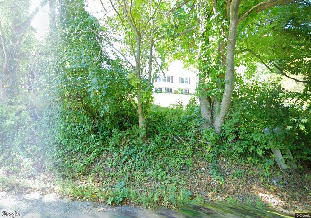
This home is located at 72 Fisk Rd, Adams, MA 01220 and is currently estimated at $460,354, approximately $336 per square foot. 72 Fisk Rd is a home located in Berkshire County with nearby schools including Hoosac Valley Middle & High School, Berkshire Arts & Technology Charter Public School, and St. Stanislaus Kostka School.
Ownership History
Date
Name
Owned For
Owner Type
Purchase Details
Closed on
Jul 9, 2004
Sold by
Rapoza Edmund S and Rapoza Linda A
Bought by
Pelczynski Laura A
Current Estimated Value
Home Financials for this Owner
Home Financials are based on the most recent Mortgage that was taken out on this home.
Original Mortgage
$226,500
Outstanding Balance
$113,895
Interest Rate
6.32%
Mortgage Type
Purchase Money Mortgage
Estimated Equity
$346,459
Purchase Details
Closed on
Sep 26, 1994
Sold by
Bury Richard P and Bury Annek M
Bought by
Rapoza Edmund S and Rapoza Linda A
Create a Home Valuation Report for This Property
The Home Valuation Report is an in-depth analysis detailing your home's value as well as a comparison with similar homes in the area
Home Values in the Area
Average Home Value in this Area
Purchase History
| Date | Buyer | Sale Price | Title Company |
|---|---|---|---|
| Pelczynski Laura A | $249,900 | -- | |
| Rapoza Edmund S | $32,000 | -- |
Source: Public Records
Mortgage History
| Date | Status | Borrower | Loan Amount |
|---|---|---|---|
| Open | Rapoza Edmund S | $75,000 | |
| Closed | Rapoza Edmund S | $40,000 | |
| Open | Rapoza Edmund S | $226,500 |
Source: Public Records
Tax History
| Year | Tax Paid | Tax Assessment Tax Assessment Total Assessment is a certain percentage of the fair market value that is determined by local assessors to be the total taxable value of land and additions on the property. | Land | Improvement |
|---|---|---|---|---|
| 2025 | $6,943 | $408,200 | $84,800 | $323,400 |
| 2024 | $6,541 | $372,900 | $79,700 | $293,200 |
| 2023 | $6,086 | $328,100 | $73,200 | $254,900 |
| 2022 | $5,924 | $283,600 | $63,600 | $220,000 |
| 2021 | $5,779 | $255,500 | $63,600 | $191,900 |
| 2020 | $5,617 | $256,700 | $63,600 | $193,100 |
| 2019 | $5,491 | $256,700 | $63,600 | $193,100 |
| 2018 | $5,724 | $257,700 | $63,600 | $194,100 |
| 2017 | $5,313 | $248,600 | $63,600 | $185,000 |
| 2016 | $4,988 | $233,200 | $63,600 | $169,600 |
| 2015 | $4,889 | $228,800 | $61,800 | $167,000 |
| 2014 | $4,565 | $228,800 | $61,800 | $167,000 |
Source: Public Records
Map
Nearby Homes
Your Personal Tour Guide
Ask me questions while you tour the home.