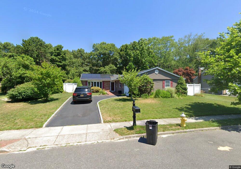
72 Flintridge Dr Holbrook, NY 11741
Estimated Value: $591,000 - $779,000
Studio
--
Bath
1,783
Sq Ft
$384/Sq Ft
Est. Value
About This Home
This home is located at 72 Flintridge Dr, Holbrook, NY 11741 and is currently estimated at $685,018, approximately $384 per square foot. 72 Flintridge Dr is a home located in Suffolk County with nearby schools including Tamarac Elementary School, Sachem High School East, and Long Island Baptist Academy.
Ownership History
Date
Name
Owned For
Owner Type
Purchase Details
Closed on
Aug 11, 2021
Sold by
Riccardi Joseph and Riccardi Anne
Bought by
Simon Alyssa and Coetsee Meyer
Current Estimated Value
Purchase Details
Closed on
Nov 19, 2001
Sold by
Lopez Fernando S and Lopez Maria E
Bought by
Riccardi Joseph and Riccardi Cathie Anne
Home Financials for this Owner
Home Financials are based on the most recent Mortgage that was taken out on this home.
Original Mortgage
$175,000
Interest Rate
6.66%
Create a Home Valuation Report for This Property
The Home Valuation Report is an in-depth analysis detailing your home's value as well as a comparison with similar homes in the area
Home Values in the Area
Average Home Value in this Area
Purchase History
| Date | Buyer | Sale Price | Title Company |
|---|---|---|---|
| Simon Alyssa | -- | None Available | |
| Riccardi Joseph | $285,000 | Fidelity National Title Ins |
Source: Public Records
Mortgage History
| Date | Status | Borrower | Loan Amount |
|---|---|---|---|
| Previous Owner | Riccardi Joseph | $175,000 |
Source: Public Records
Tax History
| Year | Tax Paid | Tax Assessment Tax Assessment Total Assessment is a certain percentage of the fair market value that is determined by local assessors to be the total taxable value of land and additions on the property. | Land | Improvement |
|---|---|---|---|---|
| 2022 | $8,873 | $43,000 | $9,500 | $33,500 |
| 2021 | $8,873 | $43,000 | $9,500 | $33,500 |
| 2019 | $8,873 | $0 | $0 | $0 |
Source: Public Records
Map
Nearby Homes
- 36 Flintridge Dr
- 80 Burleigh Dr
- 31 Hampshire Ct
- 16 Hampshire Ct
- 270 Singingwood Dr
- 52 San Rafael Ave
- 205 Fairfield Dr E
- 32 San Rafael Ave
- 49 Gainsborough Rd
- 124 Spence Ave
- 384 Singingwood Dr
- 233B Springmeadow Dr Unit B
- 181 Storm Dr
- 204 Storm Dr
- 1435 Broadway Ave
- 220 Storm Dr
- 213 Storm Dr
- 283 Storm Dr
- 228 Springmeadow Dr Unit H
- 18 Lindsey Ct
- 76 Flintridge Dr
- 68 Flintridge Dr
- 80 Flintridge Dr
- 71 Flintridge Dr
- 83 Flintridge Dr
- 64 Flintridge Dr
- 59 Flintridge Dr
- 84 Flintridge Dr
- 91 Flintridge Dr
- 60 Flintridge Dr
- 51 Flintridge Dr
- 88 Flintridge Dr
- 95 Flintridge Dr
- 56 Flintridge Dr
- 47 Flintridge Dr
- 92 Flintridge Dr
- 52 Flintridge Dr
- 96 Flintridge Dr
- 43 Flintridge Dr