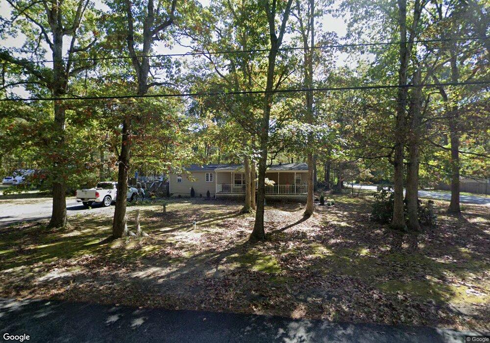
72 Grubb Rd Newfield, NJ 08344
Estimated Value: $302,789 - $410,000
Studio
--
Bath
1,896
Sq Ft
$192/Sq Ft
Est. Value
About This Home
This home is located at 72 Grubb Rd, Newfield, NJ 08344 and is currently estimated at $364,697, approximately $192 per square foot. 72 Grubb Rd is a home located in Gloucester County with nearby schools including Delsea Regional Middle School, Delsea Regional High School, and Edgarton Christian Academy.
Ownership History
Date
Name
Owned For
Owner Type
Purchase Details
Closed on
Nov 17, 1999
Sold by
Abruzzo Thomas A
Bought by
Abruzzo Thomas A and Abruzzo Lee Ann
Current Estimated Value
Home Financials for this Owner
Home Financials are based on the most recent Mortgage that was taken out on this home.
Original Mortgage
$83,600
Interest Rate
7.77%
Create a Home Valuation Report for This Property
The Home Valuation Report is an in-depth analysis detailing your home's value as well as a comparison with similar homes in the area
Home Values in the Area
Average Home Value in this Area
Purchase History
| Date | Buyer | Sale Price | Title Company |
|---|---|---|---|
| Abruzzo Thomas A | -- | -- |
Source: Public Records
Mortgage History
| Date | Status | Borrower | Loan Amount |
|---|---|---|---|
| Closed | Abruzzo Thomas A | $83,600 |
Source: Public Records
Tax History
| Year | Tax Paid | Tax Assessment Tax Assessment Total Assessment is a certain percentage of the fair market value that is determined by local assessors to be the total taxable value of land and additions on the property. | Land | Improvement |
|---|---|---|---|---|
| 2025 | $6,389 | $166,600 | $28,200 | $138,400 |
| 2024 | $6,239 | $166,600 | $28,200 | $138,400 |
| 2023 | $6,239 | $166,600 | $28,200 | $138,400 |
| 2022 | $6,073 | $166,600 | $28,200 | $138,400 |
| 2021 | $5,973 | $166,600 | $28,200 | $138,400 |
| 2020 | $5,896 | $166,600 | $28,200 | $138,400 |
| 2019 | $5,818 | $166,600 | $28,200 | $138,400 |
| 2018 | $5,733 | $166,600 | $28,200 | $138,400 |
| 2017 | $5,628 | $166,600 | $28,200 | $138,400 |
| 2016 | $5,606 | $166,600 | $28,200 | $138,400 |
| 2015 | $5,378 | $166,600 | $28,200 | $138,400 |
| 2014 | $5,170 | $166,600 | $28,200 | $138,400 |
Source: Public Records
Map
Nearby Homes
- 1701 West Blvd
- 5296 N Delsea Dr Unit 17
- 4549 Noel Dr
- 4529 Robin Rd
- 28 Malaga Terrace
- 1943 West Blvd
- 2550 Harding Hwy
- 275 Old Dutch Mill Rd
- 4740 Lake Rd
- 129 Malaga Park Dr
- 3301 Dutch Mill Rd
- 0 Delsea Dr
- 4111 N Delsea Dr Unit 3
- 4191 Lake Rd Unit 48
- 260 Marshall Mill Rd Unit 146
- 260 Marshall Mill Rd
- 260 Marshall Mill Rd Unit 117
- 260 Marshall Mill Rd Unit 142
- 2270 Harding Hwy
- 128 Marshall Mill Rd
- 100 Grubb Rd
- 60 Grubb Rd
- 555 Spruce Ave
- 538 Spruce Ave
- 46 Grubb Rd
- Grubb Rd
- 522 Spruce Ave
- 0 Grubb Rd Unit 1007248704
- 0 Grubb Rd Unit 1007037520
- 0 Grubb Rd Unit 463319
- 0 Grubb Rd Unit 483087
- 0 Grubb Rd Unit 5534569
- 0 Grubb Rd Unit 5626756
- 0 Grubb Rd Unit 5929398
- 0 Grubb Rd Unit 6135211
- 0 Grubb Rd Unit 6978654
- 0 Grubb Rd Unit 6339651
- 0 Grubb Rd Unit 6537918
- 0 Grubb Rd Unit 6762547
- 0 Grubb Rd Unit 1004781353
Your Personal Tour Guide
Ask me questions while you tour the home.