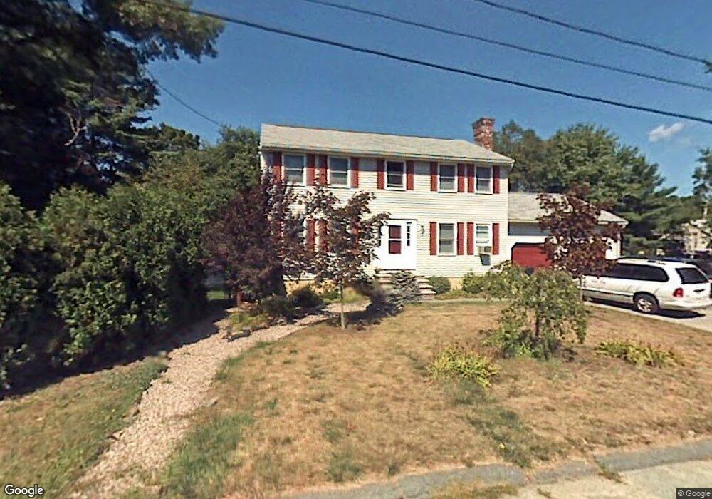
72 Hanscom Ave Haverhill, MA 01830
Upper Main Street NeighborhoodEstimated Value: $688,776 - $756,000
4
Beds
3
Baths
1,876
Sq Ft
$387/Sq Ft
Est. Value
About This Home
This home is located at 72 Hanscom Ave, Haverhill, MA 01830 and is currently estimated at $726,694, approximately $387 per square foot. 72 Hanscom Ave is a home located in Essex County with nearby schools including Pentucket Lake Elementary School, John G. Whittier Middle School, and Haverhill High School.
Ownership History
Date
Name
Owned For
Owner Type
Purchase Details
Closed on
Mar 27, 1997
Sold by
Auclair Michael W
Bought by
Tina Kalian Kenneth L and Tina Kalinan
Current Estimated Value
Create a Home Valuation Report for This Property
The Home Valuation Report is an in-depth analysis detailing your home's value as well as a comparison with similar homes in the area
Home Values in the Area
Average Home Value in this Area
Purchase History
| Date | Buyer | Sale Price | Title Company |
|---|---|---|---|
| Tina Kalian Kenneth L | $176,000 | -- |
Source: Public Records
Mortgage History
| Date | Status | Borrower | Loan Amount |
|---|---|---|---|
| Open | Tina Kalian Kenneth L | $281,000 | |
| Closed | Tina Kalian Kenneth L | $220,000 | |
| Closed | Tina Kalian Kenneth L | $238,000 | |
| Closed | Tina Kalian Kenneth L | $50,000 |
Source: Public Records
Tax History
| Year | Tax Paid | Tax Assessment Tax Assessment Total Assessment is a certain percentage of the fair market value that is determined by local assessors to be the total taxable value of land and additions on the property. | Land | Improvement |
|---|---|---|---|---|
| 2025 | $6,466 | $603,700 | $191,800 | $411,900 |
| 2024 | $6,175 | $580,400 | $186,500 | $393,900 |
| 2023 | $5,990 | $537,200 | $176,000 | $361,200 |
| 2022 | $5,565 | $437,500 | $154,900 | $282,600 |
| 2021 | $5,442 | $404,900 | $144,300 | $260,600 |
| 2020 | $5,322 | $391,300 | $137,300 | $254,000 |
| 2019 | $5,213 | $373,700 | $119,700 | $254,000 |
| 2018 | $5,008 | $351,200 | $112,600 | $238,600 |
| 2017 | $5,073 | $338,400 | $112,600 | $225,800 |
| 2016 | $4,906 | $319,400 | $96,800 | $222,600 |
| 2015 | $4,903 | $319,400 | $96,800 | $222,600 |
Source: Public Records
Map
Nearby Homes
- 65 Woodmont Ave
- 994 Main St
- 440 North Ave Unit 41
- 440 North Ave Unit 59
- 22 Iris Way Unit 4-22
- 8 Iris Way Unit 8
- 15 Angie Ave
- 23 Tulip Cir Unit 9
- 24 Brady Cir
- 0 Plaistow Rd Unit 73184617
- 42 Plaistow Rd
- 13 Main St
- 27 Woodland Park Dr Unit 27
- 41 Main St
- 12 Oliver St Unit C
- 7 Squaw Creek Dr
- 731 Hilldale Ave
- 1 Macon Ave
- 48 16th Ave
- 22 Tanglewood Park Dr
- 95 Talmuth Ave
- 68 Hanscom Ave
- 2 Kimberly Way
- 71 Hanscom Ave
- 75 Hanscom Ave
- 6 Kimberly Way
- 67 Hanscom Ave
- 85 Talmuth Ave
- 64 Hanscom Ave
- 3 Kimberly Way
- 79 Hanscom Ave
- 75 Talmuth Ave
- 92 Talmuth Ave
- Lot 14 Kristine Ln
- 5 Kimberly Way
- 60 Hanscom Ave
- 96 Talmuth Ave
- 59 Hanscom Ave
- 84 Talmuth Ave
- 71 Fairlawn Ave
Your Personal Tour Guide
Ask me questions while you tour the home.