Estimated Value: $392,000 - $455,000
3
Beds
2
Baths
2,671
Sq Ft
$162/Sq Ft
Est. Value
About This Home
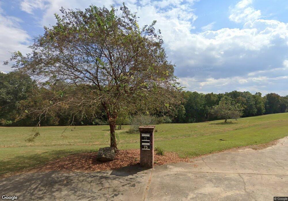
This home is located at 72 High Point Rd, Waco, GA 30182 and is currently estimated at $433,625, approximately $162 per square foot. 72 High Point Rd is a home located in Haralson County with nearby schools including Haralson County High School.
Ownership History
Date
Name
Owned For
Owner Type
Purchase Details
Closed on
Sep 4, 2009
Sold by
Grace Tommy W and Lusk Andrea D A
Bought by
Grace Tommy W and Grace Andrea D
Current Estimated Value
Home Financials for this Owner
Home Financials are based on the most recent Mortgage that was taken out on this home.
Original Mortgage
$244,000
Outstanding Balance
$157,296
Interest Rate
5.15%
Mortgage Type
New Conventional
Estimated Equity
$276,329
Purchase Details
Closed on
Mar 5, 1996
Bought by
Grace Ii Tommy W and Lusk Andrea D
Create a Home Valuation Report for This Property
The Home Valuation Report is an in-depth analysis detailing your home's value as well as a comparison with similar homes in the area
Purchase History
| Date | Buyer | Sale Price | Title Company |
|---|---|---|---|
| Grace Tommy W | -- | -- | |
| Grace Ii Tommy W | -- | -- |
Source: Public Records
Mortgage History
| Date | Status | Borrower | Loan Amount |
|---|---|---|---|
| Open | Grace Tommy W | $244,000 |
Source: Public Records
Tax History
| Year | Tax Paid | Tax Assessment Tax Assessment Total Assessment is a certain percentage of the fair market value that is determined by local assessors to be the total taxable value of land and additions on the property. | Land | Improvement |
|---|---|---|---|---|
| 2025 | $3,712 | $229,038 | $40,430 | $188,608 |
| 2024 | $3,712 | $145,164 | $12,288 | $132,876 |
| 2023 | $3,966 | $149,902 | $16,384 | $133,518 |
| 2022 | $3,703 | $140,106 | $16,384 | $123,722 |
| 2021 | $3,668 | $133,317 | $15,331 | $117,986 |
| 2020 | $3,986 | $134,869 | $15,331 | $119,538 |
| 2019 | $4,172 | $145,199 | $15,331 | $129,868 |
| 2018 | $4,032 | $138,414 | $8,546 | $129,868 |
| 2017 | $3,555 | $111,323 | $8,546 | $102,777 |
| 2016 | $3,015 | $100,416 | $14,214 | $86,202 |
| 2015 | $3,038 | $101,093 | $14,214 | $86,880 |
| 2014 | $3,058 | $103,321 | $14,214 | $89,107 |
Source: Public Records
Map
Nearby Homes
- 967 Old Highway 100
- 0 Turkey Ct Unit LOT 42 & 46
- 211 Kelly Creek Rd
- 1121 Kansas-Jake Rd
- 1960 N Highway 100
- 0 N Highway 100 Unit TRACT 2 10571032
- 0 N Highway 100 Unit TRACT 3 10571036
- 0 N Highway 100 Unit TRACT 4 10571038
- 1495 Kansas Jake Rd
- 0 Kansas Jake Rd Unit 26132658
- 0 Kansas Jake Rd Unit 10676294
- 0 Kansas Jake Rd Unit 26114165
- 0 Kansas Jake Rd Unit 26114173
- 0 Kansas Jake Rd Unit 26114180
- 1000 Kansas Jake Rd
- 263 Buncombe Waco Rd
- 63 Gold Creek Dr
- Tract2 Georgia 100
- 00 Georgia 100
- Tract5 Georgia 100
- 160 High Point Rd
- 255 High Point Rd
- 724 Old Highway 100
- 288 High Point Rd
- 700 Old Highway 100
- 776 Old Highway 100
- 814 Old Highway 100
- 765 Old Highway 100
- 590 Kansas Rd
- 75 High Point Rd
- 95 High Point Rd
- 330 High Point Rd
- 0 Two Rock Rd Unit 7071901
- 580 Kansas Rd
- 855 Old Highway 100
- 871 Old Highway 100
- 759 Old Highway 100
- 567 Kansas Rd
- 901 Old Highway 100
- 413 High Point Rd
Your Personal Tour Guide
Ask me questions while you tour the home.