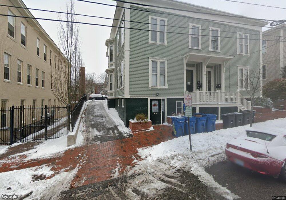
72 High St Unit D1 Portland, ME 04101
West End NeighborhoodEstimated Value: $533,535 - $665,000
2
Beds
1
Bath
1,189
Sq Ft
$487/Sq Ft
Est. Value
About This Home
This home is located at 72 High St Unit D1, Portland, ME 04101 and is currently estimated at $579,634, approximately $487 per square foot. 72 High St Unit D1 is a home located in Cumberland County with nearby schools including Howard C. Reiche Community School, King Middle School, and Baxter Academy for Tech & Sciences.
Ownership History
Date
Name
Owned For
Owner Type
Purchase Details
Closed on
Feb 24, 2023
Sold by
Rudnicki Eliot R and Rudnicki Susan R
Bought by
Eliot Ronald Rudnicki Ret
Current Estimated Value
Purchase Details
Closed on
Mar 14, 2005
Sold by
Palmer James L
Bought by
Richard Narissa L
Create a Home Valuation Report for This Property
The Home Valuation Report is an in-depth analysis detailing your home's value as well as a comparison with similar homes in the area
Home Values in the Area
Average Home Value in this Area
Purchase History
| Date | Buyer | Sale Price | Title Company |
|---|---|---|---|
| Eliot Ronald Rudnicki Ret | -- | None Available | |
| Richard Narissa L | -- | -- |
Source: Public Records
Tax History Compared to Growth
Tax History
| Year | Tax Paid | Tax Assessment Tax Assessment Total Assessment is a certain percentage of the fair market value that is determined by local assessors to be the total taxable value of land and additions on the property. | Land | Improvement |
|---|---|---|---|---|
| 2024 | $5,246 | $349,500 | $69,900 | $279,600 |
| 2023 | $5,036 | $349,500 | $69,900 | $279,600 |
| 2022 | $4,757 | $349,500 | $69,900 | $279,600 |
| 2021 | $4,540 | $349,500 | $69,900 | $279,600 |
| 2020 | $4,800 | $205,900 | $41,200 | $164,700 |
| 2019 | $4,800 | $205,900 | $41,200 | $164,700 |
| 2018 | $4,051 | $205,900 | $41,200 | $164,700 |
| 2017 | $4,458 | $205,900 | $41,200 | $164,700 |
| 2016 | $4,347 | $205,900 | $41,200 | $164,700 |
| 2015 | $4,248 | $205,900 | $41,200 | $164,700 |
| 2014 | $4,118 | $205,900 | $41,200 | $164,700 |
Source: Public Records
Map
Nearby Homes
- 88 Park St Unit 41
- 25 High St Unit 214
- 25 High St Unit 408
- 68 Pleasant St
- 387 Commercial St Unit 710
- 387 Commercial St Unit 205
- 32 State St Unit 1
- 383 Commercial St
- 383 Commercial St Unit 405
- 383 Commercial St Unit 709
- 383 Commercial St Unit 315
- 40 Pleasant St
- 64 Gray St
- 83 Brackett St
- 148 State St
- 547 Congress St Unit 6
- 15 Brown St Unit 405
- 15 Brown St Unit 206
- 28 Summer St
- 207 State St
- 72 High St Unit G3
- 72 High St Unit F3
- 72 High St Unit E3
- 72 High St Unit E2
- 72 High St Unit E1
- 72 High St Unit D3
- 72 High St Unit D2
- 72 High St Unit C3
- 72 High St Unit C2
- 72 High St Unit C1
- 72 High St Unit B3
- 72 High St Unit B2
- 72 High St Unit B1
- 72 High St Unit A3
- 72 High St Unit A2
- 72 High St Unit A1
- 72 High St Unit 1A
- 72 High St
- 72 High St Unit 2
- 72 High St Unit B