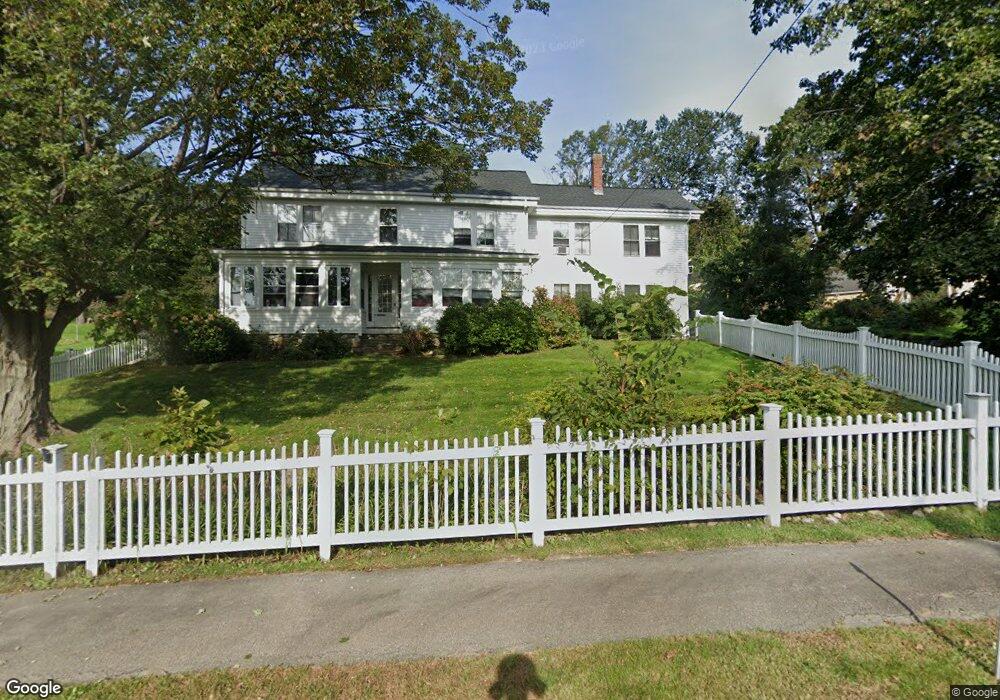
72 High St Unit 2 Topsfield, MA 01983
Estimated Value: $451,000 - $646,000
2
Beds
1
Bath
1,216
Sq Ft
$454/Sq Ft
Est. Value
About This Home
This home is located at 72 High St Unit 2, Topsfield, MA 01983 and is currently estimated at $552,069, approximately $454 per square foot. 72 High St Unit 2 is a home located in Essex County with nearby schools including Steward Elementary School, Proctor Elementary School, and Masconomet Regional Middle School.
Ownership History
Date
Name
Owned For
Owner Type
Purchase Details
Closed on
Jan 16, 2025
Sold by
Crandall Karen A
Bought by
Crandall Joshua T and Crandall Karen A
Current Estimated Value
Purchase Details
Closed on
Jun 24, 2024
Sold by
Conrad Richard H and Crandall Karen A
Bought by
Crandall Karen A
Purchase Details
Closed on
Jan 19, 2018
Sold by
Aureli Bridget and Aureli Sammy
Bought by
Conrad Richard H and Crandall Karen A
Home Financials for this Owner
Home Financials are based on the most recent Mortgage that was taken out on this home.
Original Mortgage
$300,385
Interest Rate
3.94%
Mortgage Type
New Conventional
Purchase Details
Closed on
Jun 30, 2005
Sold by
Binette Barbara E
Bought by
Aureli Sammy and Aureli Bridget
Home Financials for this Owner
Home Financials are based on the most recent Mortgage that was taken out on this home.
Original Mortgage
$264,800
Interest Rate
5.73%
Mortgage Type
Purchase Money Mortgage
Create a Home Valuation Report for This Property
The Home Valuation Report is an in-depth analysis detailing your home's value as well as a comparison with similar homes in the area
Home Values in the Area
Average Home Value in this Area
Purchase History
| Date | Buyer | Sale Price | Title Company |
|---|---|---|---|
| Crandall Joshua T | -- | None Available | |
| Crandall Joshua T | -- | None Available | |
| Crandall Karen A | -- | None Available | |
| Crandall Karen A | -- | None Available | |
| Crandall Karen A | -- | None Available | |
| Conrad Richard H | $350,000 | -- | |
| Aureli Sammy | $331,000 | -- | |
| Aureli Sammy | $331,000 | -- |
Source: Public Records
Mortgage History
| Date | Status | Borrower | Loan Amount |
|---|---|---|---|
| Previous Owner | Conrad Richard H | $300,385 | |
| Previous Owner | Aureli Sammy | $66,200 | |
| Previous Owner | Aureli Sammy | $264,800 | |
| Previous Owner | Aureli Sammy | $66,200 |
Source: Public Records
Tax History Compared to Growth
Tax History
| Year | Tax Paid | Tax Assessment Tax Assessment Total Assessment is a certain percentage of the fair market value that is determined by local assessors to be the total taxable value of land and additions on the property. | Land | Improvement |
|---|---|---|---|---|
| 2025 | $7,811 | $521,100 | $0 | $521,100 |
| 2024 | $7,655 | $521,100 | $0 | $521,100 |
| 2023 | $6,113 | $402,200 | $0 | $402,200 |
| 2022 | $5,566 | $334,300 | $0 | $334,300 |
| 2021 | $5,975 | $333,400 | $0 | $333,400 |
| 2020 | $5,808 | $333,400 | $0 | $333,400 |
| 2019 | $5,668 | $333,400 | $0 | $333,400 |
| 2018 | $4,238 | $244,100 | $0 | $244,100 |
| 2017 | $4,133 | $244,100 | $0 | $244,100 |
| 2016 | $3,867 | $234,100 | $0 | $234,100 |
| 2015 | $3,831 | $232,900 | $0 | $232,900 |
Source: Public Records
Map
Nearby Homes
- 72 High St Unit B
- 72 High St Unit 1
- 72 High St Unit A
- 72 High St Unit 72B
- 72 High St
- 78 High St
- 71 High St
- 69 High St
- 75 High St
- 264 Boston St
- 65 High St
- 77 High St
- 1 Amberwood Farm Unit 1
- 86 High St
- 86 High St Unit B
- 256 Boston St
- 3 Dover Hill Rd
- Lot 22 Beech Place
- Lot 20 Evergreen Ln
- Lot 9 Hickory Ln