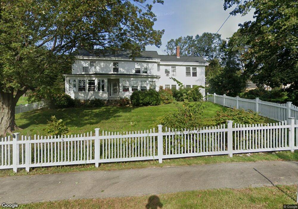
72 High St Topsfield, MA 01983
Estimated Value: $610,223
2
Beds
1
Bath
1,127
Sq Ft
$541/Sq Ft
Est. Value
About This Home
This home is located at 72 High St, Topsfield, MA 01983 and is currently estimated at $610,223, approximately $541 per square foot. 72 High St is a home located in Essex County with nearby schools including Steward Elementary School, Proctor Elementary School, and Masconomet Regional Middle School.
Ownership History
Date
Name
Owned For
Owner Type
Purchase Details
Closed on
Mar 5, 2004
Sold by
Orsett Res 7 Llc
Bought by
Binette Barbara
Current Estimated Value
Home Financials for this Owner
Home Financials are based on the most recent Mortgage that was taken out on this home.
Original Mortgage
$150,000
Outstanding Balance
$69,858
Interest Rate
5.62%
Mortgage Type
Purchase Money Mortgage
Estimated Equity
$540,365
Purchase Details
Closed on
Jul 20, 1999
Sold by
Rizza Rt and Rizza Guy D
Bought by
Mahoney Judith M
Create a Home Valuation Report for This Property
The Home Valuation Report is an in-depth analysis detailing your home's value as well as a comparison with similar homes in the area
Home Values in the Area
Average Home Value in this Area
Purchase History
| Date | Buyer | Sale Price | Title Company |
|---|---|---|---|
| Binette Barbara | $290,000 | -- | |
| Mahoney Judith M | $257,000 | -- |
Source: Public Records
Mortgage History
| Date | Status | Borrower | Loan Amount |
|---|---|---|---|
| Open | Mahoney Judith M | $150,000 | |
| Previous Owner | Mahoney Judith M | $82,150 |
Source: Public Records
Tax History
| Year | Tax Paid | Tax Assessment Tax Assessment Total Assessment is a certain percentage of the fair market value that is determined by local assessors to be the total taxable value of land and additions on the property. | Land | Improvement |
|---|---|---|---|---|
| 2025 | -- | $0 | $0 | $0 |
| 2024 | -- | $0 | $0 | $0 |
| 2023 | $0 | $0 | $0 | $0 |
| 2022 | $0 | $0 | $0 | $0 |
| 2021 | $0 | $0 | $0 | $0 |
| 2020 | $0 | $0 | $0 | $0 |
| 2019 | $0 | $0 | $0 | $0 |
| 2018 | $0 | $0 | $0 | $0 |
| 2017 | $0 | $0 | $0 | $0 |
| 2016 | -- | $0 | $0 | $0 |
Source: Public Records
Map
Nearby Homes
- 3 Antoria Way
- 117 Perkins Row
- 146 Ipswich Rd
- 30 Surrey Ln
- 18 Boxford Rd
- 12 Campmeeting Rd
- 5 Comstock Ln
- 4 Ruby Cir
- 40 Curtis Rd
- 37 East St
- 10 Fairway Dr Unit 10
- 16 Fairway Dr Unit 16
- 19 Bridle Spur Ln
- 34 Wildmeadow Rd
- 180 Rowley Bridge Rd
- 20-B Wildmeadow Rd
- 207 Topsfield Rd
- 207 Rowley Bridge Rd
- 3 Conrad Cir
- 37 Moonpenny Dr
- 72 High St Unit B
- 72 High St Unit 2
- 72 High St Unit 1
- 72 High St Unit A
- 72 High St Unit 72B
- 78 High St
- 71 High St
- 69 High St
- 75 High St
- 264 Boston St
- 65 High St
- 77 High St
- 1 Amberwood Farm Unit 1
- 86 High St
- 86 High St Unit B
- 256 Boston St
- 3 Dover Hill Rd
- Lot 22 Beech Place
- Lot 20 Evergreen Ln
- Lot 9 Hickory Ln
Your Personal Tour Guide
Ask me questions while you tour the home.