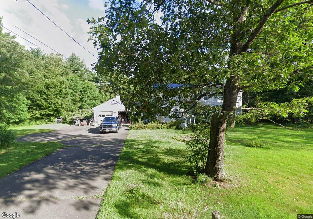
72 Holcomb St Simsbury, CT 06070
Estimated Value: $513,000 - $551,000
4
Beds
3
Baths
2,016
Sq Ft
$264/Sq Ft
Est. Value
About This Home
This home is located at 72 Holcomb St, Simsbury, CT 06070 and is currently estimated at $532,380, approximately $264 per square foot. 72 Holcomb St is a home located in Hartford County with nearby schools including Squadron Line School, Henry James Memorial School, and Simsbury High School.
Ownership History
Date
Name
Owned For
Owner Type
Purchase Details
Closed on
Sep 10, 2010
Sold by
Paine Michael R
Bought by
Paine Jean
Current Estimated Value
Purchase Details
Closed on
Dec 6, 1993
Sold by
Feaster Edward
Bought by
Paine Jean
Home Financials for this Owner
Home Financials are based on the most recent Mortgage that was taken out on this home.
Original Mortgage
$127,500
Interest Rate
3.5%
Mortgage Type
Unknown
Create a Home Valuation Report for This Property
The Home Valuation Report is an in-depth analysis detailing your home's value as well as a comparison with similar homes in the area
Home Values in the Area
Average Home Value in this Area
Purchase History
| Date | Buyer | Sale Price | Title Company |
|---|---|---|---|
| Paine Jean | -- | -- | |
| Paine Jean | $182,500 | -- |
Source: Public Records
Mortgage History
| Date | Status | Borrower | Loan Amount |
|---|---|---|---|
| Open | Paine Jean | $150,000 | |
| Previous Owner | Paine Jean | $118,000 | |
| Previous Owner | Paine Jean | $100,000 | |
| Previous Owner | Paine Jean | $127,500 |
Source: Public Records
Tax History
| Year | Tax Paid | Tax Assessment Tax Assessment Total Assessment is a certain percentage of the fair market value that is determined by local assessors to be the total taxable value of land and additions on the property. | Land | Improvement |
|---|---|---|---|---|
| 2025 | $9,230 | $270,200 | $80,640 | $189,560 |
| 2024 | $9,000 | $270,200 | $80,640 | $189,560 |
| 2023 | $8,491 | $266,840 | $80,640 | $186,200 |
| 2022 | $8,228 | $213,000 | $87,650 | $125,350 |
| 2021 | $8,228 | $213,000 | $87,650 | $125,350 |
| 2020 | $7,900 | $213,000 | $87,650 | $125,350 |
| 2019 | $7,949 | $213,000 | $87,650 | $125,350 |
| 2018 | $8,007 | $213,000 | $87,650 | $125,350 |
| 2017 | $7,815 | $201,620 | $85,400 | $116,220 |
| 2016 | $7,484 | $201,620 | $85,400 | $116,220 |
| 2015 | $7,484 | $201,620 | $85,400 | $116,220 |
| 2014 | $7,488 | $201,620 | $85,410 | $116,210 |
Source: Public Records
Map
Nearby Homes
- 42 Holcomb St
- 324 Old Farms Rd
- 36 Clifdon Dr
- 12 The Glade
- 117 N Saddle Ridge
- 7 Grimes Brook Place
- 7 School House Ln
- 125 Firetown Rd
- 15 Winhart Dr
- 90 Seminary Rd
- 28 Great Pond Rd
- 60 Barry Ln
- 9 Barry Ln
- 79 Cambridge Ct
- 158 Westledge Rd
- 59 Cambridge Ct
- 31 Oxford Ct
- 5 Shady Ln
- 6 Heritage Ln
- 40 Firetown Rd Unit 22
- 70 Holcomb St
- 74 Holcomb St
- 71 Holcomb St
- 3 Cardinal Rd
- 0 County Road 4
- 0 County Road 4 Unit RECIR926845
- 0 County Road 4 Unit RECIR925313
- 0 County Road 4 Unit 2178214
- 0 County Road 4 Unit 4301135
- 0 County Road 4 Unit 7457228
- 0 County Road 4 Unit 554688
- 0 County Road 4 Unit 439620
- 0 County Road 4 Unit 347980
- 0 County Road 4 Unit 691917
- 1 Cardinal Rd
- 1 Surry Cir
- 5 Cardinal Rd
- 68 Holcomb St
- 419 Firetown Rd
- 2 Cardinal Rd
Your Personal Tour Guide
Ask me questions while you tour the home.