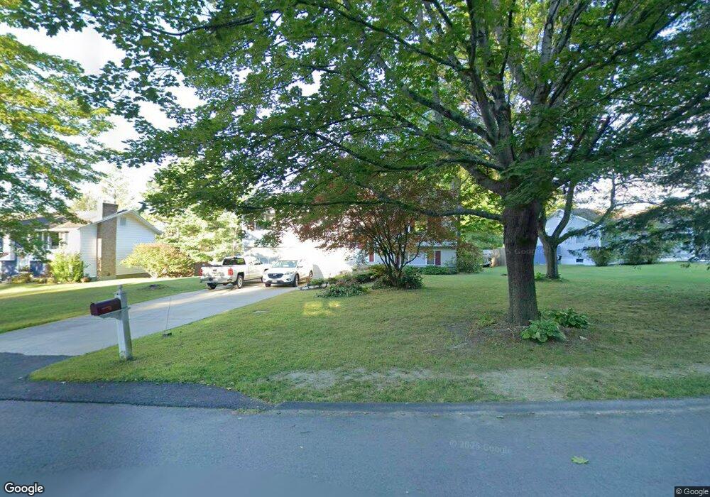
72 Howe Rd Pittsfield, MA 01201
Estimated Value: $335,000 - $399,000
3
Beds
3
Baths
1,704
Sq Ft
$214/Sq Ft
Est. Value
About This Home
This home is located at 72 Howe Rd, Pittsfield, MA 01201 and is currently estimated at $365,049, approximately $214 per square foot. 72 Howe Rd is a home located in Berkshire County with nearby schools including Allendale Elementary School, John T. Reid Middle School, and Pittsfield High School.
Ownership History
Date
Name
Owned For
Owner Type
Purchase Details
Closed on
Jun 26, 2012
Sold by
Suriner Donald C and Suriner Laurie R
Bought by
Suriner Donald C
Current Estimated Value
Home Financials for this Owner
Home Financials are based on the most recent Mortgage that was taken out on this home.
Original Mortgage
$140,000
Outstanding Balance
$96,726
Interest Rate
3.84%
Mortgage Type
New Conventional
Estimated Equity
$268,323
Purchase Details
Closed on
Oct 7, 1992
Sold by
Hauser Lynne M and Galey Marcia M
Bought by
Suriner Donald C and Suriner Laurie R
Home Financials for this Owner
Home Financials are based on the most recent Mortgage that was taken out on this home.
Original Mortgage
$85,000
Interest Rate
7.99%
Mortgage Type
Purchase Money Mortgage
Create a Home Valuation Report for This Property
The Home Valuation Report is an in-depth analysis detailing your home's value as well as a comparison with similar homes in the area
Home Values in the Area
Average Home Value in this Area
Purchase History
| Date | Buyer | Sale Price | Title Company |
|---|---|---|---|
| Suriner Donald C | -- | -- | |
| Suriner Donald C | -- | -- | |
| Suriner Donald C | -- | -- | |
| Suriner Donald C | $56,250 | -- | |
| Suriner Donald C | $56,250 | -- | |
| Suriner Donald C | $56,250 | -- |
Source: Public Records
Mortgage History
| Date | Status | Borrower | Loan Amount |
|---|---|---|---|
| Open | Suriner Donald C | $140,000 | |
| Closed | Suriner Donald C | $140,000 | |
| Previous Owner | Suriner Donald C | $85,000 |
Source: Public Records
Tax History
| Year | Tax Paid | Tax Assessment Tax Assessment Total Assessment is a certain percentage of the fair market value that is determined by local assessors to be the total taxable value of land and additions on the property. | Land | Improvement |
|---|---|---|---|---|
| 2025 | $5,646 | $314,700 | $71,900 | $242,800 |
| 2024 | $5,138 | $278,500 | $71,900 | $206,600 |
| 2023 | $4,761 | $259,900 | $71,900 | $188,000 |
| 2022 | $4,412 | $237,700 | $71,900 | $165,800 |
| 2021 | $4,347 | $225,800 | $71,900 | $153,900 |
| 2020 | $4,151 | $210,600 | $61,900 | $148,700 |
| 2019 | $3,942 | $203,000 | $59,900 | $143,100 |
| 2018 | $3,956 | $197,700 | $59,900 | $137,800 |
| 2017 | $3,722 | $189,600 | $56,900 | $132,700 |
| 2016 | $3,566 | $190,100 | $56,900 | $133,200 |
| 2015 | $3,433 | $190,100 | $56,900 | $133,200 |
Source: Public Records
Map
Nearby Homes
- 68 Howe Rd
- 395 Cheshire Rd Unit 114
- 395 Cheshire Rd Unit 103
- 395 Cheshire Rd Unit 101
- 395 Cheshire Rd Unit 102
- 395 Cheshire Rd Unit 112
- 395 Cheshire Rd Unit 113
- 121 Kittredge Rd
- 149 Kittredge Rd
- 127 Oak Hill Rd
- 215 Partridge Rd
- 607 Crane Ave
- 0 Crane Ave
- 135 Allengate Ave
- 18 Chestnut St
- 121 Elberon Ave
- Lot 5-7 Partridge Rd
- 0 Faucett Ln
- 258 Dalton Ave
- 89 Delancy Ave
Your Personal Tour Guide
Ask me questions while you tour the home.