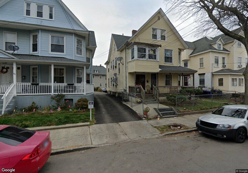
72 James St Unit 74 Bridgeport, CT 06604
The Hollow NeighborhoodEstimated Value: $601,000 - $620,000
8
Beds
3
Baths
3,199
Sq Ft
$192/Sq Ft
Est. Value
About This Home
This home is located at 72 James St Unit 74, Bridgeport, CT 06604 and is currently estimated at $613,667, approximately $191 per square foot. 72 James St Unit 74 is a home located in Fairfield County with nearby schools including Geraldine Johnson School, Bassick High School, and Catholic Academy of Bridgeport-St. Augustine Academy.
Ownership History
Date
Name
Owned For
Owner Type
Purchase Details
Closed on
Aug 25, 1995
Sold by
Peoples Bk
Bought by
Robinson Beulah M
Current Estimated Value
Home Financials for this Owner
Home Financials are based on the most recent Mortgage that was taken out on this home.
Original Mortgage
$71,250
Interest Rate
7.32%
Mortgage Type
Unknown
Create a Home Valuation Report for This Property
The Home Valuation Report is an in-depth analysis detailing your home's value as well as a comparison with similar homes in the area
Home Values in the Area
Average Home Value in this Area
Purchase History
| Date | Buyer | Sale Price | Title Company |
|---|---|---|---|
| Robinson Beulah M | $75,000 | -- | |
| Robinson Beulah M | $75,000 | -- |
Source: Public Records
Mortgage History
| Date | Status | Borrower | Loan Amount |
|---|---|---|---|
| Open | Robinson Beulah M | $149,634 | |
| Closed | Robinson Beulah M | $62,452 | |
| Closed | Robinson Beulah M | $71,250 |
Source: Public Records
Tax History Compared to Growth
Tax History
| Year | Tax Paid | Tax Assessment Tax Assessment Total Assessment is a certain percentage of the fair market value that is determined by local assessors to be the total taxable value of land and additions on the property. | Land | Improvement |
|---|---|---|---|---|
| 2025 | $7,370 | $169,630 | $40,880 | $128,750 |
| 2024 | $7,370 | $169,630 | $40,880 | $128,750 |
| 2023 | $7,370 | $169,630 | $40,880 | $128,750 |
| 2022 | $7,370 | $169,630 | $40,880 | $128,750 |
| 2021 | $7,370 | $169,630 | $40,880 | $128,750 |
| 2020 | $6,746 | $124,950 | $18,190 | $106,760 |
| 2019 | $6,746 | $124,950 | $18,190 | $106,760 |
| 2018 | $6,794 | $124,950 | $18,190 | $106,760 |
| 2017 | $6,794 | $124,950 | $18,190 | $106,760 |
| 2016 | $6,794 | $124,950 | $18,190 | $106,760 |
| 2015 | $7,458 | $176,720 | $28,100 | $148,620 |
| 2014 | $7,458 | $176,720 | $28,100 | $148,620 |
Source: Public Records
Map
Nearby Homes
- 75 Sanford Ave
- 120 Milne St Unit 122
- 113 Milne St Unit 115
- 139 Highland Ave Unit 143
- 183 Calhoun Ave
- 200 Harral Ave
- 213 Harral Ave Unit 215
- 309 Pequonnock St
- 318 Center St
- 191 Oak St
- 1373 Iranistan Ave
- 1199 Iranistan Ave Unit 1201
- 79 William St
- 592 Norman St Unit 594
- 826 Norman St
- 881 Lafayette Blvd Unit 5K
- 881 Lafayette Blvd Unit 1A
- 100 Lorraine St
- 78 Fairmount Ave
- 1872 North Ave Unit 1874
- 82 James St
- 64 James St
- 64 James St Unit 2nd Fl.
- 64 James St Unit First Floor
- 104 James St Unit 106
- 62 James St
- 62 James St Unit First Floor Left
- 86 James St
- 63 Sanford Ave
- 75 Sanford Ave Unit 2
- 75 Sanford Ave Unit 1
- 85 Sanford Ave
- 85 Sanford Ave Unit 2
- 54 James St Unit 1
- 52 James St Unit 54
- 53 Sanford Ave
- 53 Sanford Ave Unit 1ST
- 93 Sanford Ave
- 93 Sanford Ave Unit 2
- 42 James St Unit 44