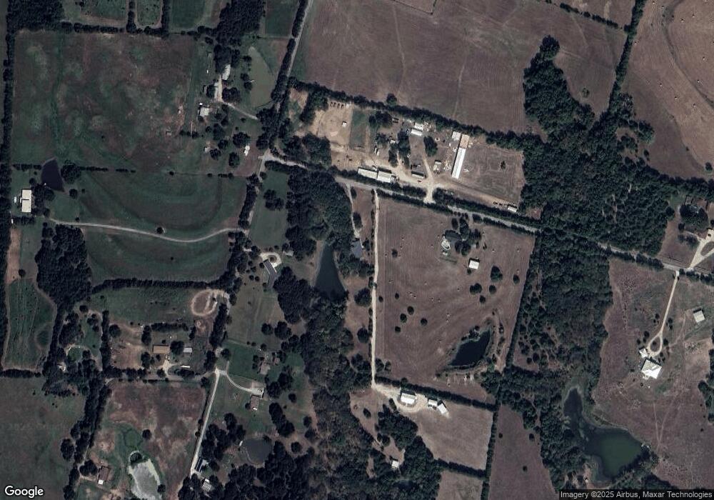
72 Jim Lamb Rd Sherman, TX 75090
Estimated Value: $264,863 - $302,000
--
Bed
--
Bath
1,450
Sq Ft
$195/Sq Ft
Est. Value
About This Home
This home is located at 72 Jim Lamb Rd, Sherman, TX 75090 and is currently estimated at $283,432, approximately $195 per square foot. 72 Jim Lamb Rd is a home located in Grayson County with nearby schools including Lamar Elementary School, Scott Middle School, and Denison High School.
Ownership History
Date
Name
Owned For
Owner Type
Purchase Details
Closed on
Aug 7, 2025
Sold by
Huddleston Pamela S
Bought by
Proverbs 3 5 Living Trust
Current Estimated Value
Purchase Details
Closed on
May 15, 2019
Sold by
Ball Mary and Keeth Deborah L
Bought by
Huddleston Pamela S and Huddleston William L
Purchase Details
Closed on
Dec 19, 2016
Sold by
Ball Robert and Ball Mary
Bought by
Huddleston Pamela S and Keeth Deborah L
Create a Home Valuation Report for This Property
The Home Valuation Report is an in-depth analysis detailing your home's value as well as a comparison with similar homes in the area
Home Values in the Area
Average Home Value in this Area
Purchase History
| Date | Buyer | Sale Price | Title Company |
|---|---|---|---|
| Proverbs 3 5 Living Trust | -- | None Listed On Document | |
| Huddleston Pamela S | -- | None Listed On Document | |
| Huddleston Pamela S | -- | None Available | |
| Huddleston Pamela S | -- | None Available |
Source: Public Records
Tax History Compared to Growth
Tax History
| Year | Tax Paid | Tax Assessment Tax Assessment Total Assessment is a certain percentage of the fair market value that is determined by local assessors to be the total taxable value of land and additions on the property. | Land | Improvement |
|---|---|---|---|---|
| 2025 | $549 | $289,687 | $100,313 | $189,374 |
| 2024 | $4,296 | $266,026 | $0 | $0 |
| 2023 | $548 | $241,842 | $0 | $0 |
| 2022 | $3,799 | $219,856 | $0 | $0 |
| 2021 | $3,747 | $201,171 | $38,125 | $163,046 |
| 2020 | $3,617 | $181,699 | $23,984 | $157,715 |
| 2019 | $3,542 | $181,853 | $23,984 | $157,869 |
| 2018 | $3,521 | $164,015 | $23,984 | $140,031 |
| 2017 | $3,316 | $153,492 | $19,609 | $133,883 |
| 2016 | $2,707 | $157,069 | $17,266 | $139,803 |
| 2015 | $933 | $128,240 | $17,847 | $110,393 |
| 2014 | $1,056 | $103,555 | $16,992 | $86,563 |
Source: Public Records
Map
Nearby Homes
- 312 Magnus Rd
- 235 Magnus Rd
- 9426 Dripping Spring Rd
- 9436 Dripping Spring Rd
- 9408 Dripping Spring Rd
- 9386 Dripping Spring Rd
- TBD 2 Dripping Springs Ridge
- 2493 Baker Ridge Rd
- 492 Russell Ln
- 811 Russell Ln
- 153 Kelsey Rd
- 327 Russell Ln
- 257 Russell Ln
- 22.278 Acres Baker Ridge Rd
- 5585 S Fannin Ave
- TBD Cleve Cole Rd
- 486 Cleve Cole Rd
- 918 Cleve Cole
- 461 Cleve Cole Rd
- 66 Shady Woods Ln
- 1938 Whitney Rd
- 186 Jim Lamb Rd
- 186 Jim Lamb Rd
- 00 Jim Lamb Rd
- 0000 Jim Lamb Rd
- 147 Jim Lamb Rd
- 1842 Whitney Rd
- TBD. Jim Lamb Rd
- 1797 Whitney Rd
- 2155 Whitney Rd
- 2043 Whitney Rd
- 1832 Whitney Rd
- 2176 Whitney Rd
- 373 Jim Lamb Rd
- 376 Jim Lamb Rd
- 1751 Whitney Rd
- 1949 Whitney Rd
- 2228 Whitney Rd
- 2280 Whitney Rd
- 415 Jim Lamb Rd
