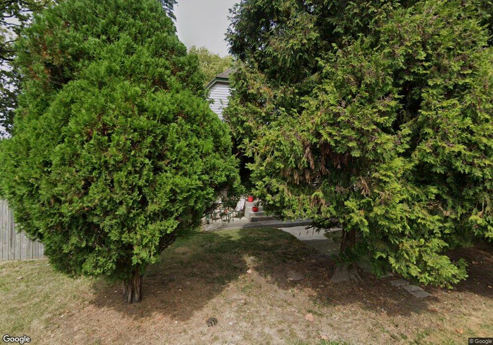
72 Kail Ave Columbus, OH 43207
Obetz-Lockbourne NeighborhoodEstimated Value: $167,342 - $242,000
3
Beds
2
Baths
1,528
Sq Ft
$133/Sq Ft
Est. Value
About This Home
This home is located at 72 Kail Ave, Columbus, OH 43207 and is currently estimated at $203,836, approximately $133 per square foot. 72 Kail Ave is a home located in Franklin County with nearby schools including Parsons Elementary School, Buckeye Middle School, and Marion-Franklin High School.
Ownership History
Date
Name
Owned For
Owner Type
Purchase Details
Closed on
Jul 21, 2000
Sold by
Fisher John D and Fisher Sharon
Bought by
Barry Margaret K
Current Estimated Value
Home Financials for this Owner
Home Financials are based on the most recent Mortgage that was taken out on this home.
Original Mortgage
$76,630
Outstanding Balance
$25,933
Interest Rate
8.27%
Estimated Equity
$177,903
Purchase Details
Closed on
Nov 7, 1991
Bought by
Fisher John D
Create a Home Valuation Report for This Property
The Home Valuation Report is an in-depth analysis detailing your home's value as well as a comparison with similar homes in the area
Home Values in the Area
Average Home Value in this Area
Purchase History
We collect this data history from publicly available records. To have your information removed, we recommend requesting removal directly through your county’s website.
| Date | Buyer | Sale Price | Title Company |
|---|---|---|---|
| Barry Margaret K | $79,000 | Chicago Title West | |
| Fisher John D | -- | -- |
Source: Public Records
Mortgage History
We collect this data history from publicly available records. To have your information removed, we recommend requesting removal directly through your county’s website.
| Date | Status | Borrower | Loan Amount |
|---|---|---|---|
| Open | Barry Margaret K | $76,630 |
Source: Public Records
Tax History
| Year | Tax Paid | Tax Assessment Tax Assessment Total Assessment is a certain percentage of the fair market value that is determined by local assessors to be the total taxable value of land and additions on the property. | Land | Improvement |
|---|---|---|---|---|
| 2025 | $140 | $3,050 | $2,490 | $560 |
| 2024 | $140 | $3,050 | $2,490 | $560 |
| 2023 | $138 | $3,045 | $2,485 | $560 |
| 2022 | $155 | $2,910 | $2,660 | $250 |
| 2021 | $155 | $2,910 | $2,660 | $250 |
| 2020 | $155 | $2,910 | $2,660 | $250 |
| 2019 | $181 | $2,910 | $2,660 | $250 |
| 2018 | $232 | $4,590 | $4,340 | $250 |
| 2017 | $242 | $4,590 | $4,340 | $250 |
| 2016 | $198 | $2,910 | $2,770 | $140 |
| 2015 | $180 | $2,910 | $2,770 | $140 |
| 2014 | $180 | $2,910 | $2,770 | $140 |
| 2013 | $93 | $3,045 | $2,905 | $140 |
Source: Public Records
Map
Nearby Homes
- 19 E Castle Rd
- 160 Landers Ave
- 2654 Shelly Dr
- 212 E Alcott Rd
- 2822 S High St
- 2750 Gibson Dr
- 256 Loxley Dr
- 2737 Gibson Dr
- 228 Ziegler Ave
- 78 Southgate Dr
- 2404 S 5th St
- 2407 S 6th St
- 2405 S 6th St
- 2382 S 6th St
- 435 Carolann Ave
- 443 Carolann Ave
- 611 Lock Ave
- 647 Lock Ave
- 470 Stambaugh Ave
- 492 Basswood Rd
- 72 Kail Ave
- 2672 Thorndale Ave
- 84 Kail Ave
- 2658 Thorndale Ave
- 79 Landers Ave
- 77 Landers Ave
- 2684 Thorndale Ave
- 83 Landers Ave
- 67 Kail Ave
- 2650 Thorndale Ave
- 81 Kail Ave
- 85 Kail Ave
- 91 Landers Ave
- 2644 Thorndale Ave
- 2694 Thorndale Ave
- 0 Kail Ave
- 109 Kail Ave
- 109 Landers Ave
- 109 Landers Ave
- 2669 Thorndale Ave
Your Personal Tour Guide
Ask me questions while you tour the home.